All posts by Jenny Clark

063 Brisbane Water NP: GNW Girrakool Picnic Area to Reservoir Road, Somersby

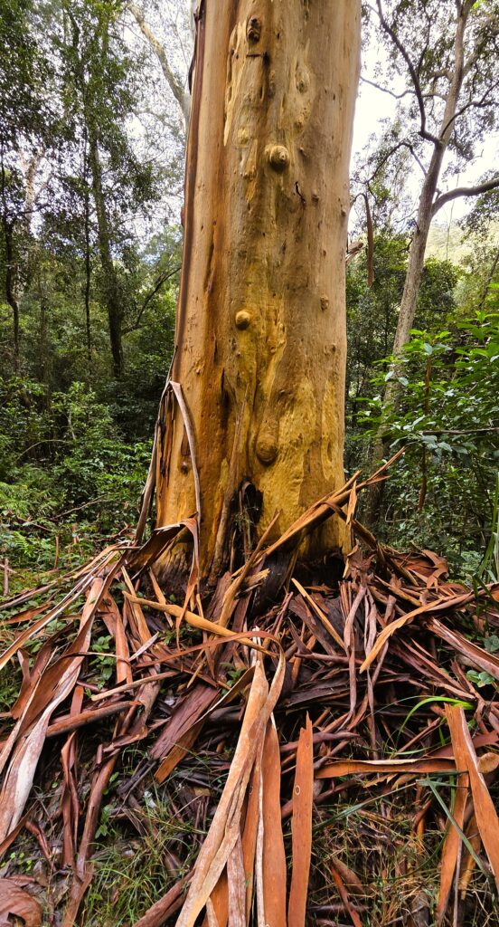
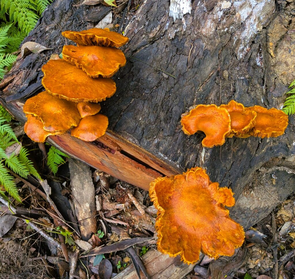
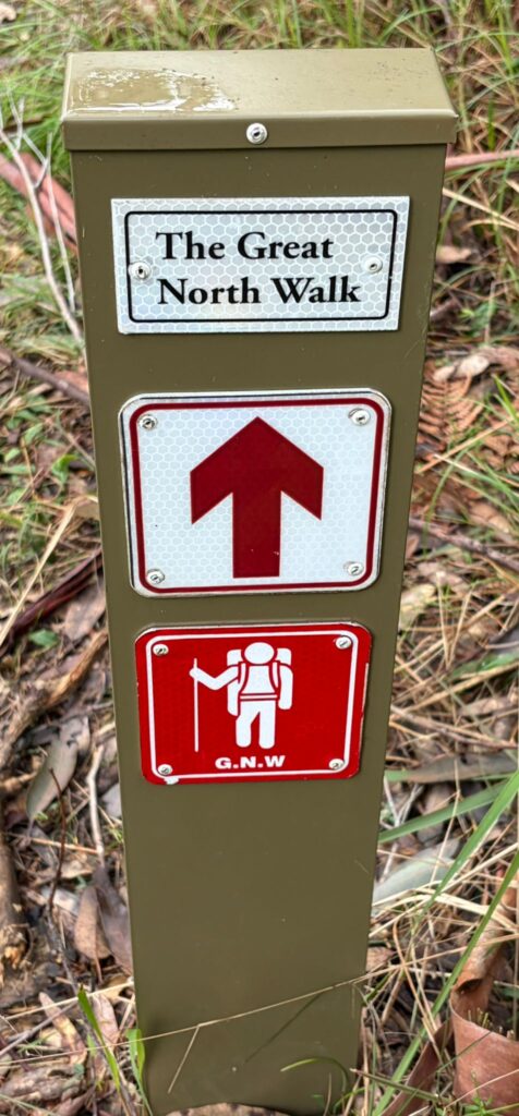
This walk includes some of the best parts of the Great North Walk. We descended into deep creeks, walked beside healthy mangroves and salt marsh, spotted a huge variety of fungi and enjoyed lush glades of ferns. There were waterfalls, lookouts, rushing streams (more on that later), a dam and highways to pass over and under.
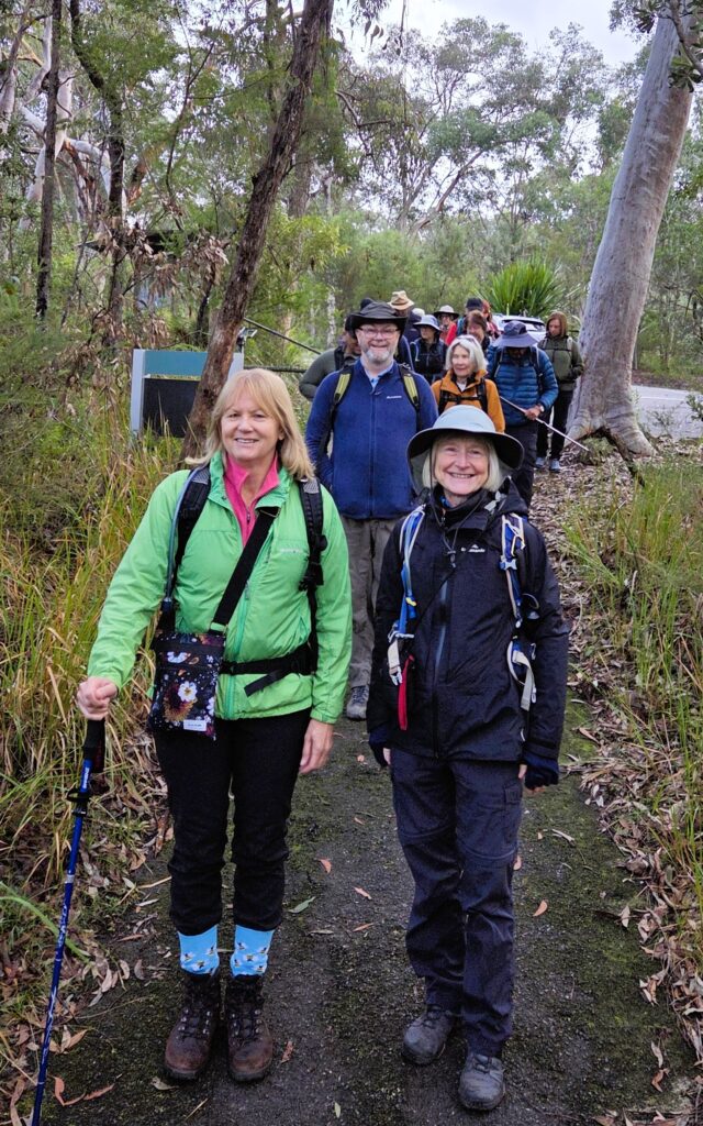
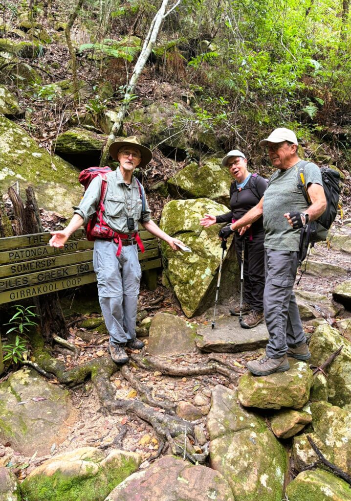
Fresh walkers at the start – Girrakool Picnic Area
Piles Creek East track now joins the Great North Walk

We (19 walkers) started with a car shuffle from Reserve Rd to Girrakool. Once walking, we descended steeply into Piles Creek until it met Mooney Mooney Creek. Along the way, we stopped at the suspension bridge over Piles Creek for morning tea. This was free of leeches, but that soon changed, with increasing numbers trying to hitch a ride. The walk along Mooney Mooney Creek passed through some beautiful bush
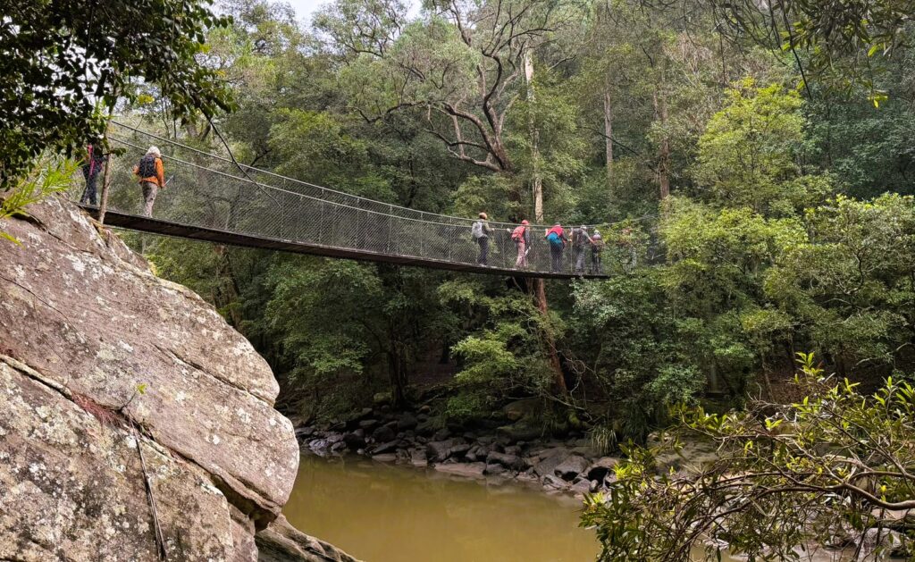
Crossing the suspension bridge over Piles Creek
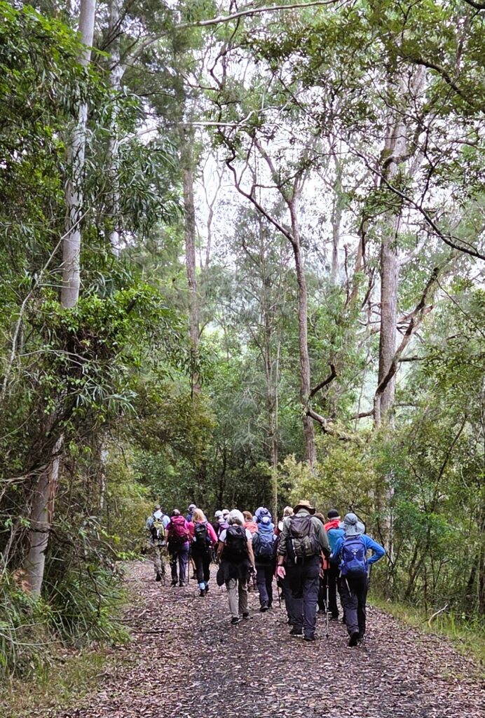
Easy fire trail after crossing the Old Pacific Hwy

We stopped for lunch on some leech-free rocks at the point where we had to cross Mooney Mooney Creek.
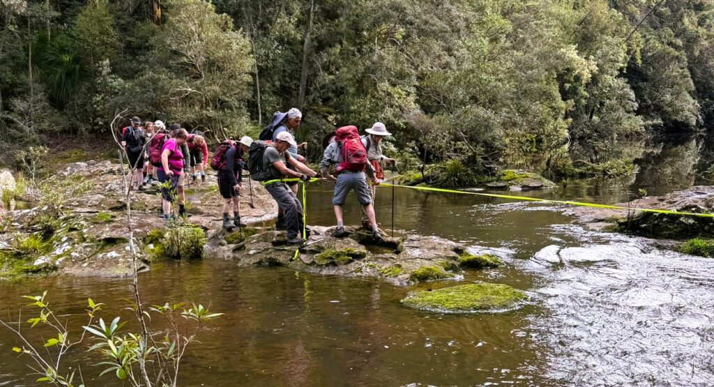
Crossing Mooney Mooney Creek after lunch

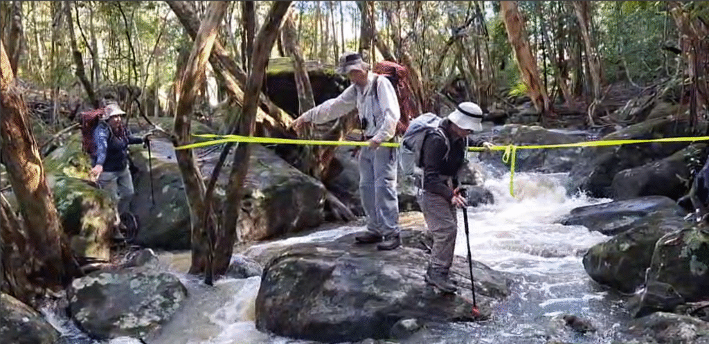
There was no helpful suspension bridge in sight, and the creek was flowing quite fast. The track could be seen continuing on the other side, but how to get there? Peter scouted out several routes across, but finally it was decided that the best route involved crossing a short fast-flowing bit with the aid of the trusty yellow tape. Dave provided the main anchor, with Peter assisting walkers to get down the slippery first part into the water and get hold of the tape. Gradually most of the group crossed here, with a few deciding one of Peter’s other routes was viable. Once across with the tape, there were still some other tricky slippery bits to negotiate. Everyone worked together, until all were safely (and maybe slightly damply) across. This was a great team effort in true Up and Downer style and especially so, as for some walkers this was their first experience of crossing a creek in this way.
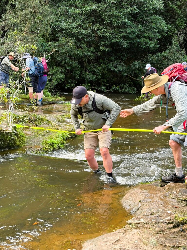
It was a good idea bringing my safety tape (Peter). Lucky we had a small but tough bush to tie onto.
The exposed rock was very slippery but not so bad in the knee deep, fast flowing water.

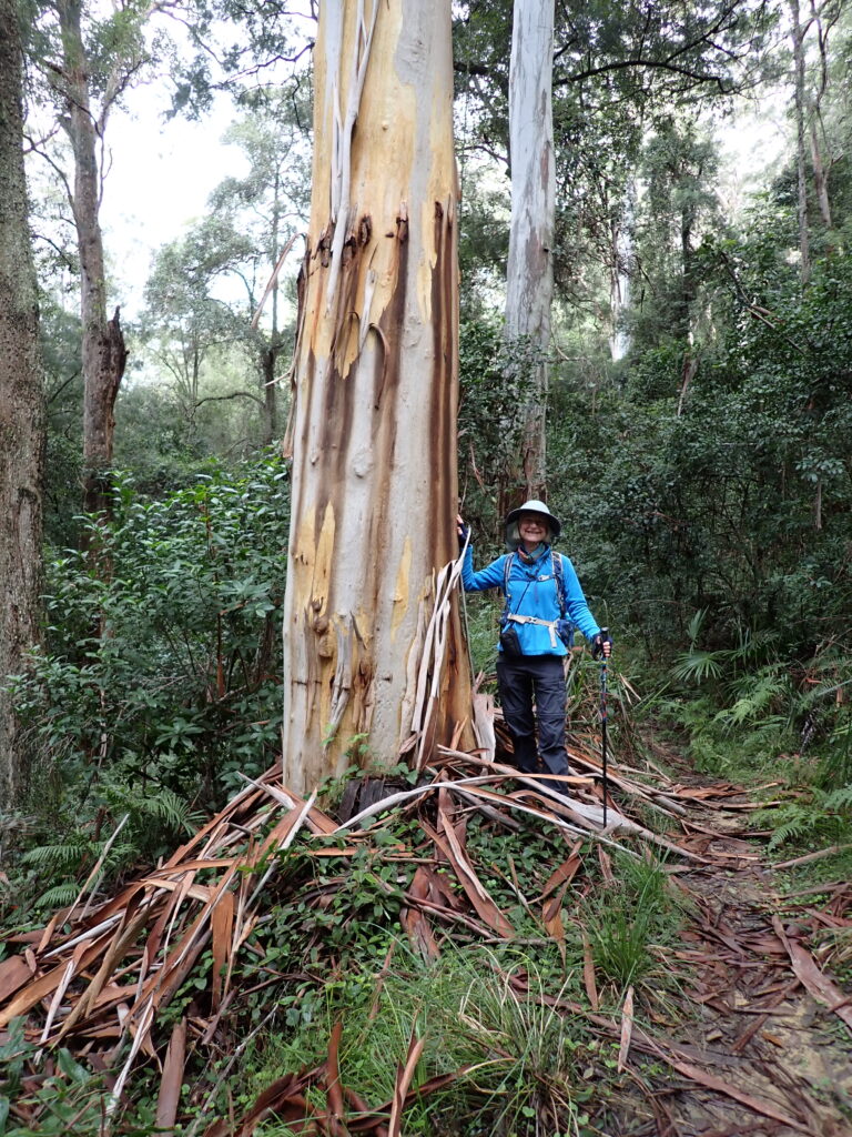
After the creek crossing, the track wound steadily upwards, past Lower Mooney Mooney Creek Dam. There were more spectacular ferns and interesting fungi until we walked out to the water tanks on Reserve Rd.
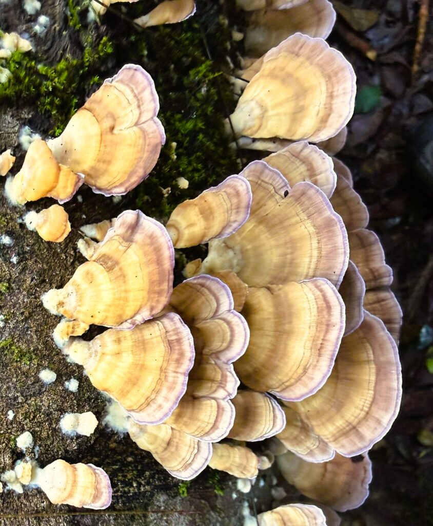
Turkey tail mushroom
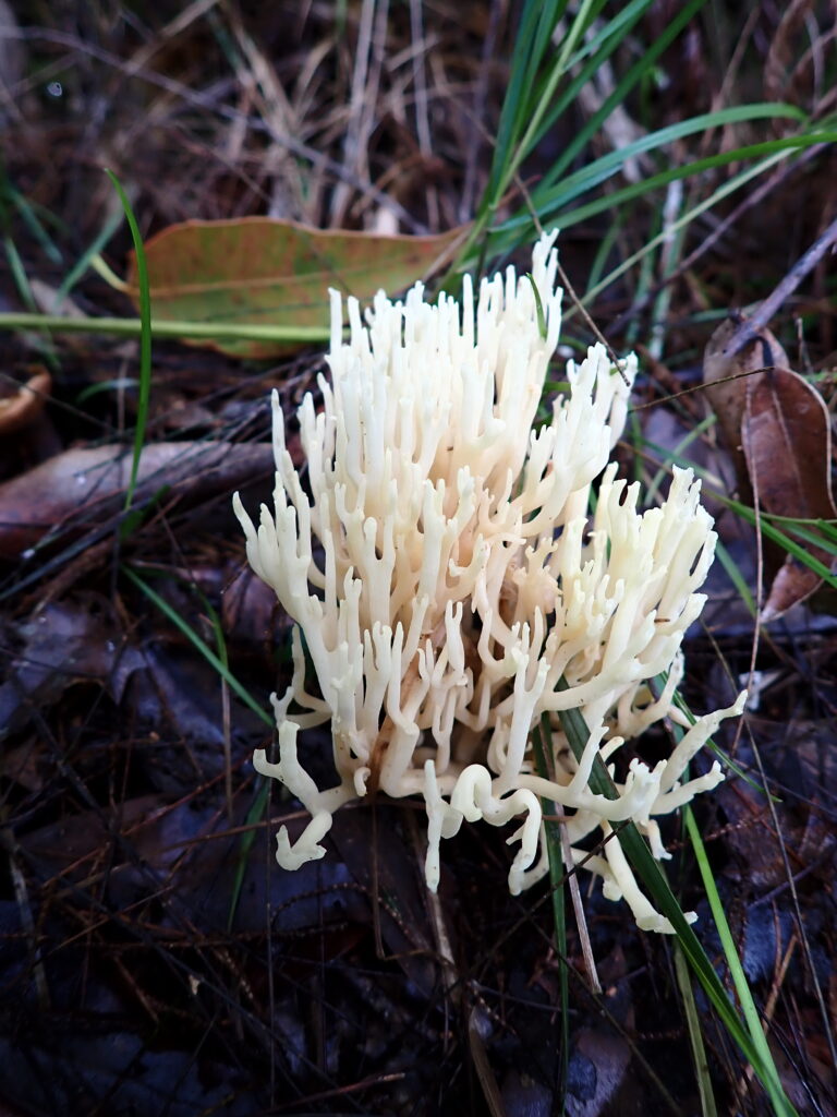
Coral fungi
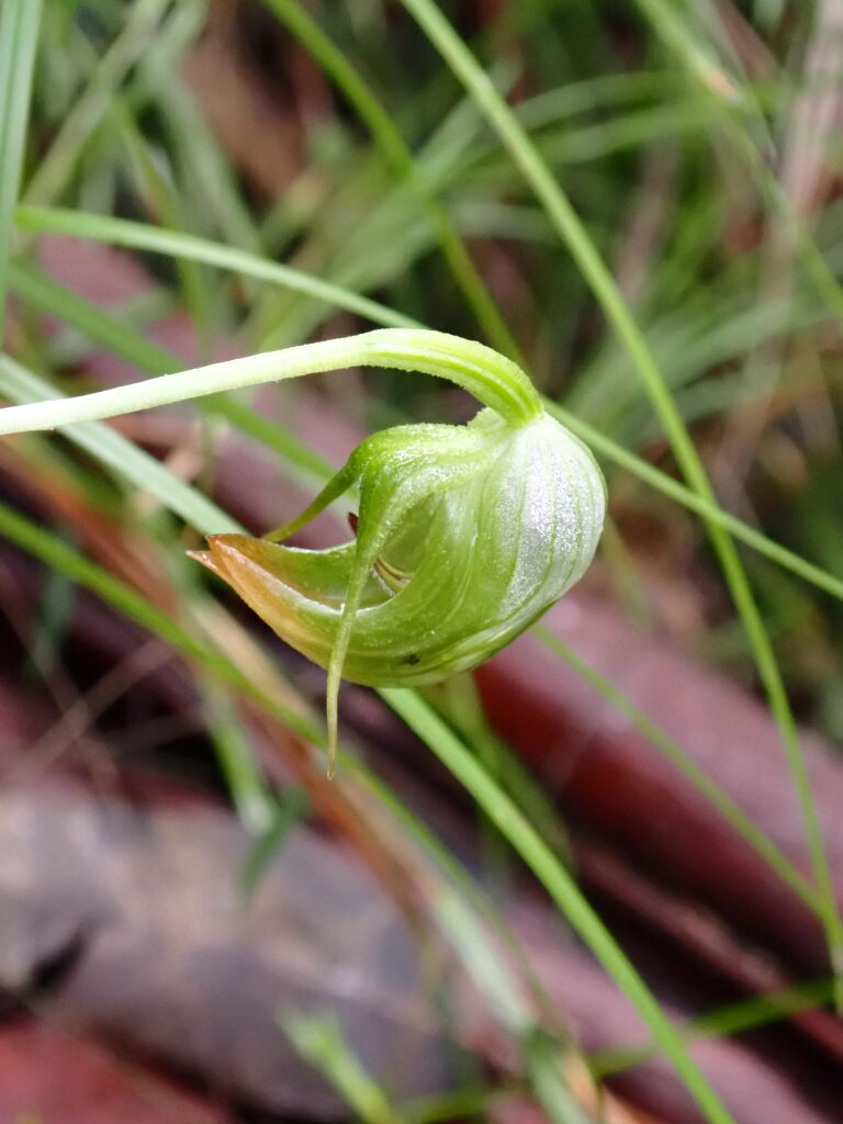
Nodding Greenhood – Orchid
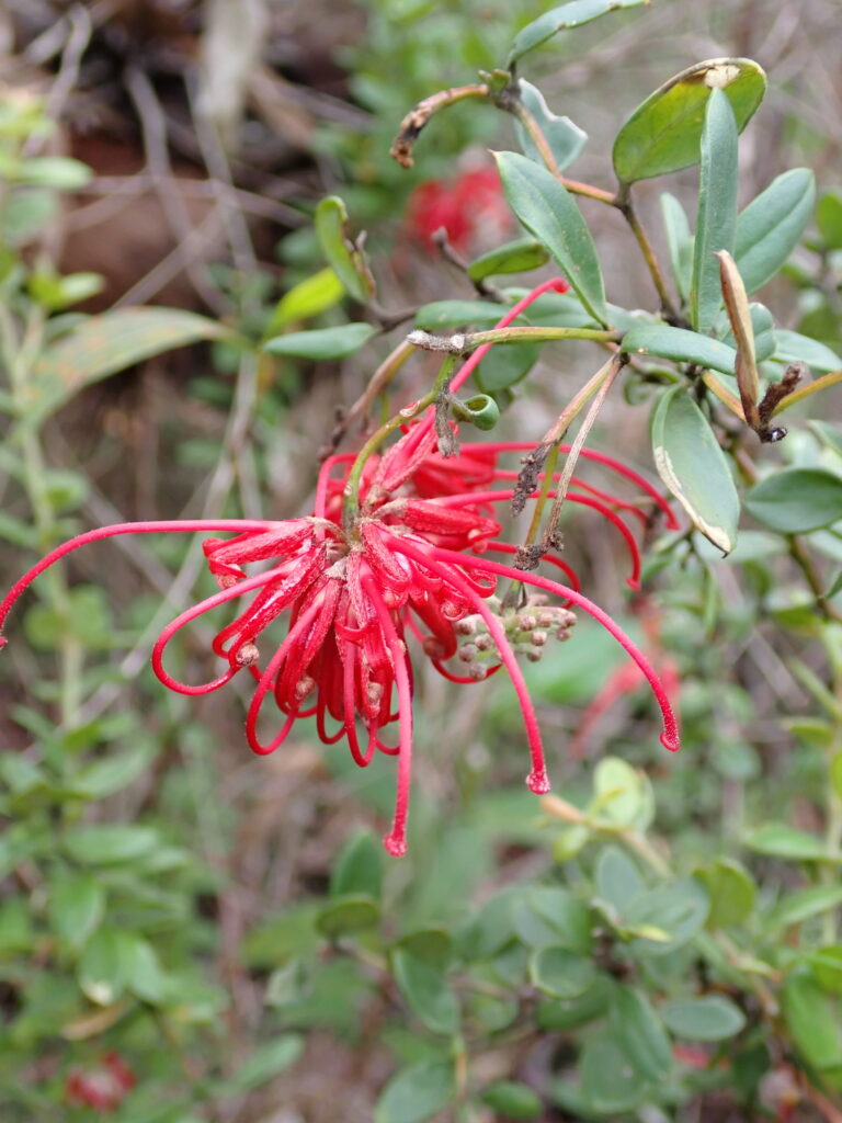
Red Spider Flower

The car shuffle was undone, and drinks (and crisps) were enjoyed at the Mount Penang Gardens before heading home. Thanks to all walkers for an enjoyable day on the track with great teamwork and good company.

More Photos: Contributed by: Ray, Annmarie, Helen, Hazel and Peter:
https://photos.app.goo.gl/kyJcPLe3LR3LcgoQ8

MAPS – click images below to open full maps
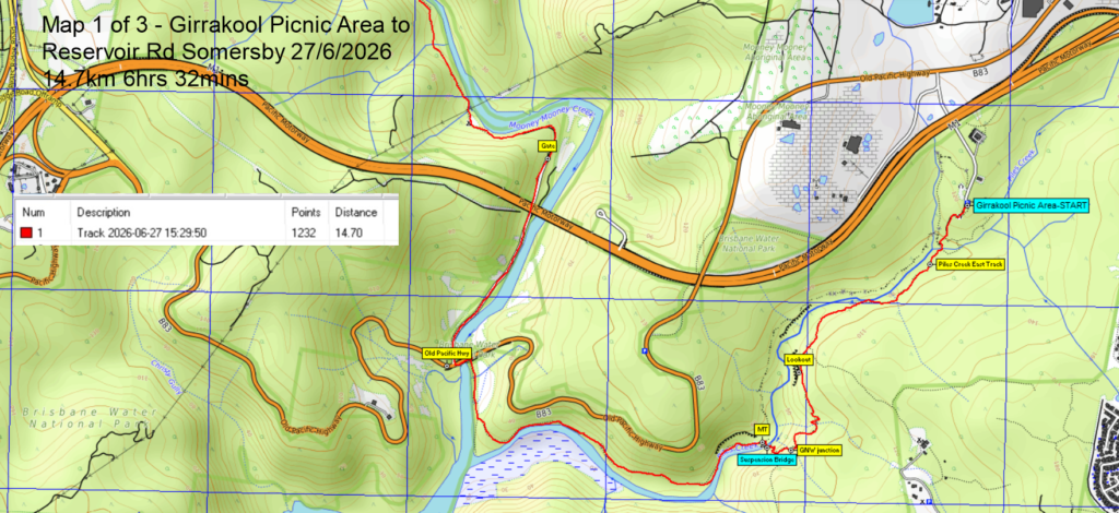
Map 1 of 3
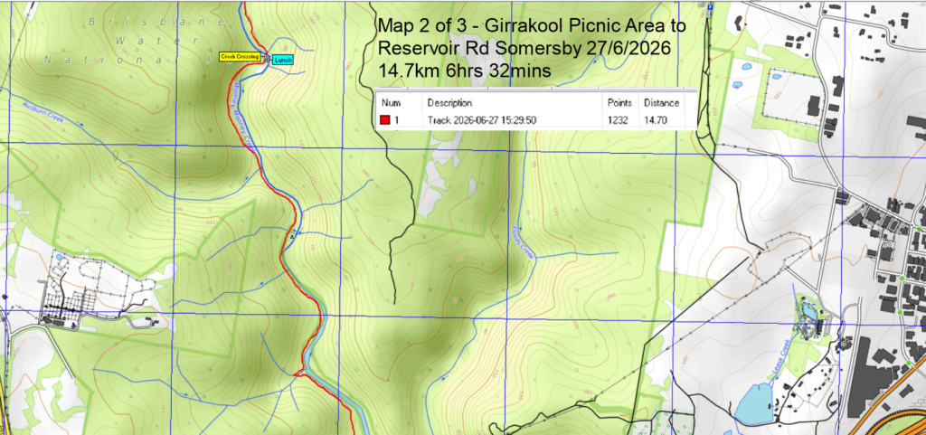
Map 2 of 3
Map 3 of 3
Altitude v Distance Profile: Total Distance walked = 14.7km (ignore below water vertical GPS device inaccuracies = Z plane)

064 Blue Mountains NP: Wilkinson Hill and Jinky Ridge

Well, what can I say? The weather was fabulous, the views were stunning, the company was good, we escaped the rain in Sydney.

Wilkinson Hill was first. The track out was fire trail at first then bush track, then possibly guesswork as far as where the track was. However, we easily arrived at our destination, at the cliff edge overlooking the Grose Valley. We could see several places the club has been before, Ikara Head, Valhalla Head, Thor Head, the way into Asgard swamp, the creek we scrambled into to get to all those places. We had morning tea here to enjoy the view, making sure we did not get too close to the edge with its vertical fall of at least 100 metres.

After morning tea, we retraced our steps until we came to the turnoff to Jinki Ridge. This track was much more distinct, possibly because it’s the exit from Dalpura Canyon. We proceeded quite well along here until we came to a place where the head of a creek needed to be crossed onto another part of the ridge. The group judged this to be too difficult, as the rocky slope was wet and slippery after recent rain, so the decision was made to have lunch on top of a pagoda and enjoy the view.

After lunch there was some more scouting around, first of another ridgeline of pagodas and then of a possible way to get around the slippery slope. This walk was exploratory, so this route will be left to be investigated on another occasion. Despite the fact that we fell short of our planned objective for this part of the walk, the area we traversed was beautiful, with small pagodas and meadows of low vegetation. Drinks were at the Blue Mountains Botanic Gardens café.

The pictures tell how beautiful whole area is.

https://photos.app.goo.gl/4z4uKCkEzG9S2NLc7

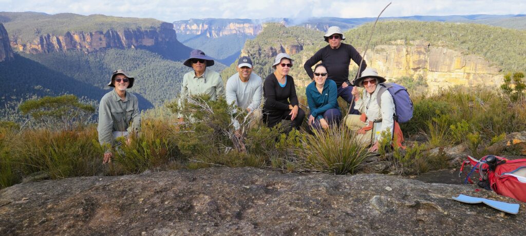
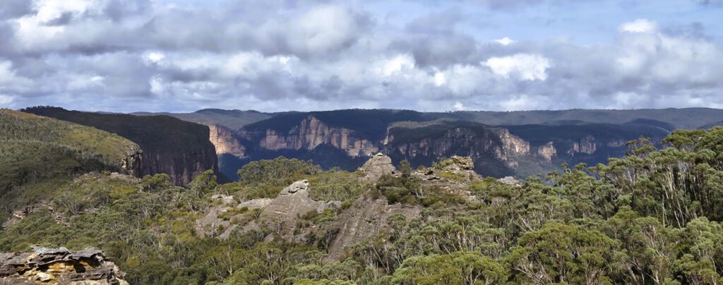
Walkers, Wilkinson Hill – view to Dalpura, Thor & Valhalla Heads
Looking at the elusive end of Jinki Ridge with pagodas in the foreground
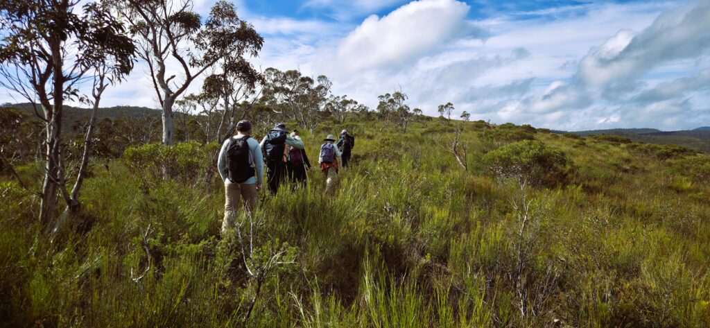
Returning from Jinki Ridge

055 Sydney Harbour: Waverton to Milsons Point via Sydney Harbour Foreshore

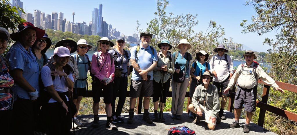
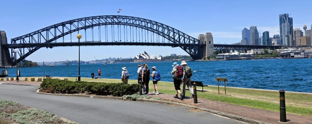
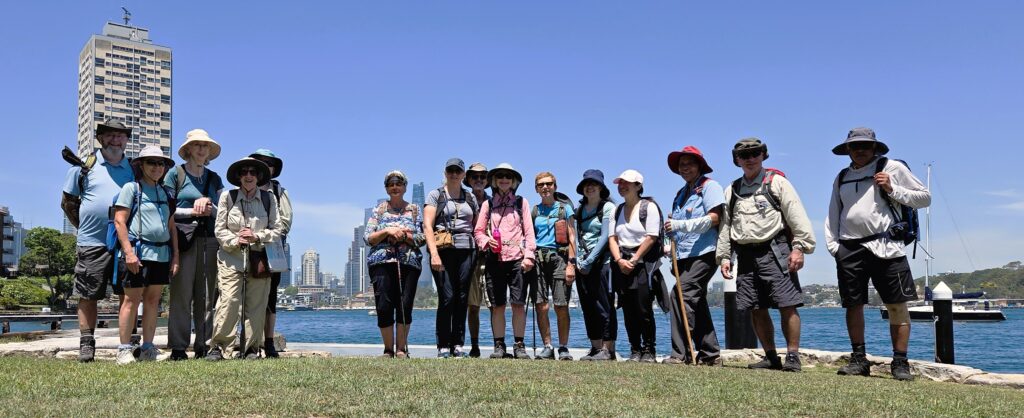
It was a very hot day. The sea breeze did arrive, but not until about 11 am. Nevertheless, 16 walkers turned up, all very happy to start the new walking season together.

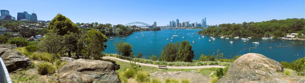
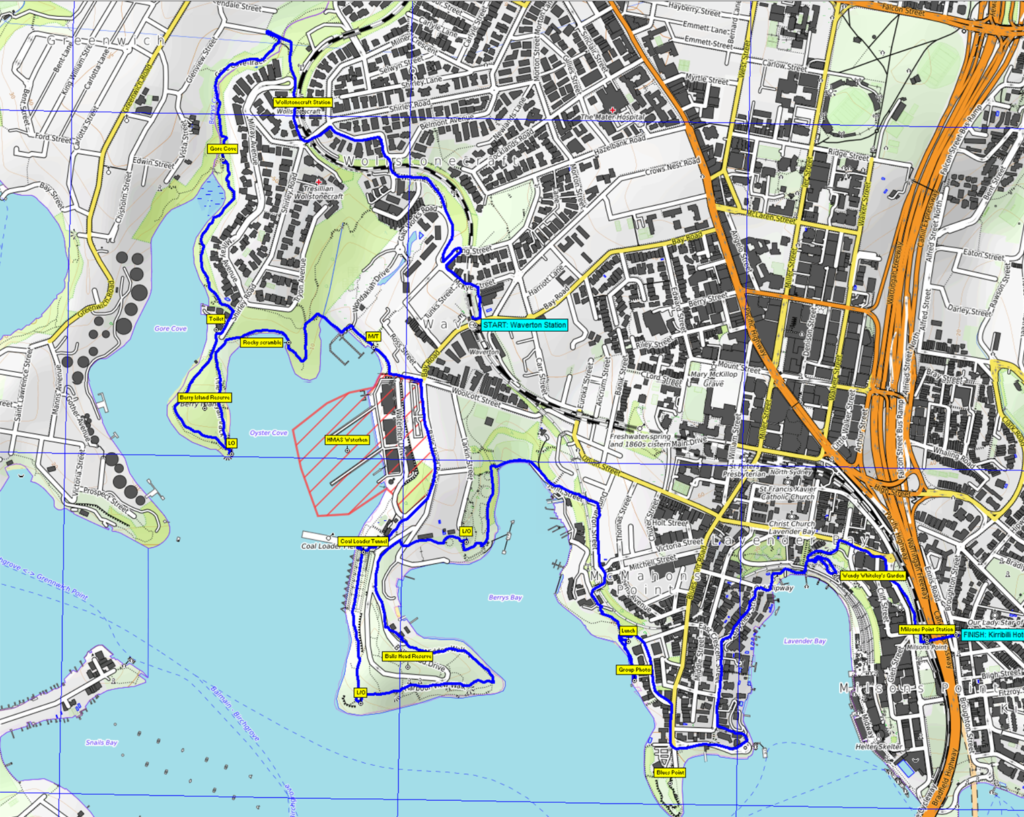
We met at Waverton station, passed Wollstonecraft station and then entered the bush, going down along Berry Bay to Berry Is. Despite this being an urban walk, there are several patches of very nice bush on the harbour foreshore. These provide welcome shade and relative coolness.

Past Berry Island we met a tricky bit of rock scrambling, something which looked slippery but wasn’t. This was negotiated with a helping hand where needed. There was also a longer path which a couple of people took. 

We continued to wind around the harbour foreshore, each time circling back close to Waverton. This way we passed Balls Head and the very interesting Coal Loader. Morning tea was eaten in a nice patch of shade on grass and lunch likewise.

The last stop of the walk was the cool Wendy Whiteley’s Garden, before well-earned drinks at the air- conditioned Kirribili Hotel. Well done all for a summer walk on a hot day.

Peter edit: We actually saw Wendy Whiteley happily out watering her plants at the top of her garden!

Cedar Brush Walk to the Basin Campground

Saturday 23 August 2025
Cedar Brush Walk to Basin Campsite

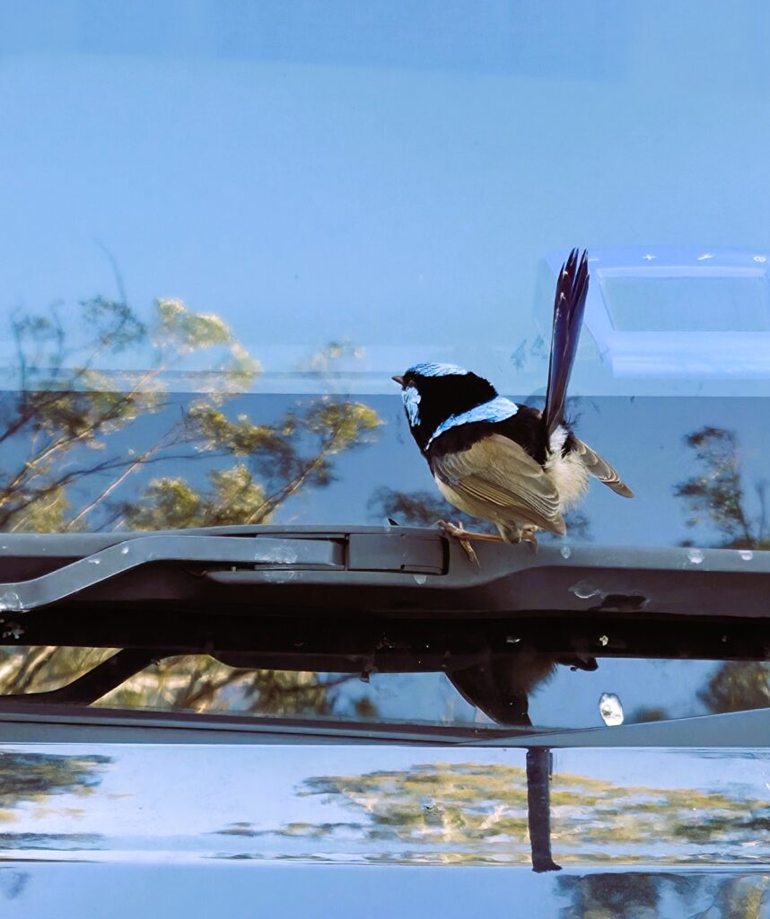
After a week of solid rain, 8 walkers still signed up to do this walk. 7 met at the designated spot. Very unfortunately, due to a map mix-up and a serious lack of connectivity, 1 walker did not reach the starting line, despite a delay in leaving there for the car shuffle. One beautiful small bird (pictured) seemed keen to join us, flitting around our vehicle for quite some time, apparently looking for a mate in the reflection on our windscreen.

From the car shuffle, we headed downhill on the Great North Walk and soon met our first obstacle. The first creek was higher than expected. Most walkers crossed a bit upstream, using the yellow tape to get across on the slippery mossy boulders. One walker opted for the slightly submerged plank provided, thus ensuring wet feet, but much less chance of a fall.

From here it was steeply up, with another couple of easier creek crossings. Morning tea was at the walkers’ rest area, with some seats provided (the same planks as provided for the creek crossing). All enjoyed the sun and blue sky, but not the multiple small leeches which needed to be removed. Then it was on to lunch, walking on a fire trail now. We found a nice spot slightly off the fire trail, again in the sun but without the leeches.

We had already decided as a group to follow the fire trail down to the Basin Campground and thus avoid the creek section. This would have entailed multiple creek crossings of a much larger creek than the first one. The catchment was much bigger than the first creek with a few side creeks coming in. Everyone agreed that we did not want to get half-way down after a few tricky crossings only to find that we could not proceed and had to go back.

We soon reached the cars and after another car shuffle headed to Mangrove Mountain Memorial Club for welcome drinks and a nice hot plate of chips between us. We soaked up the sun on the enclosed veranda, all very pleased that we were able to get out in sunshine to enjoy a walk together in the bush. Thanks to all for attending and making the walk so enjoyable.
Peter’s Photos including the map and altitude profile:
https://photos.app.goo.gl/­dfsSZsp8xv3eLhHc7
Video of Creek Crossing

Safely crossing a slightly swollen Brush Creek near the start of the walk – taken from Fernando’s video
Blue Fairy Wren looking for a mate in a car window
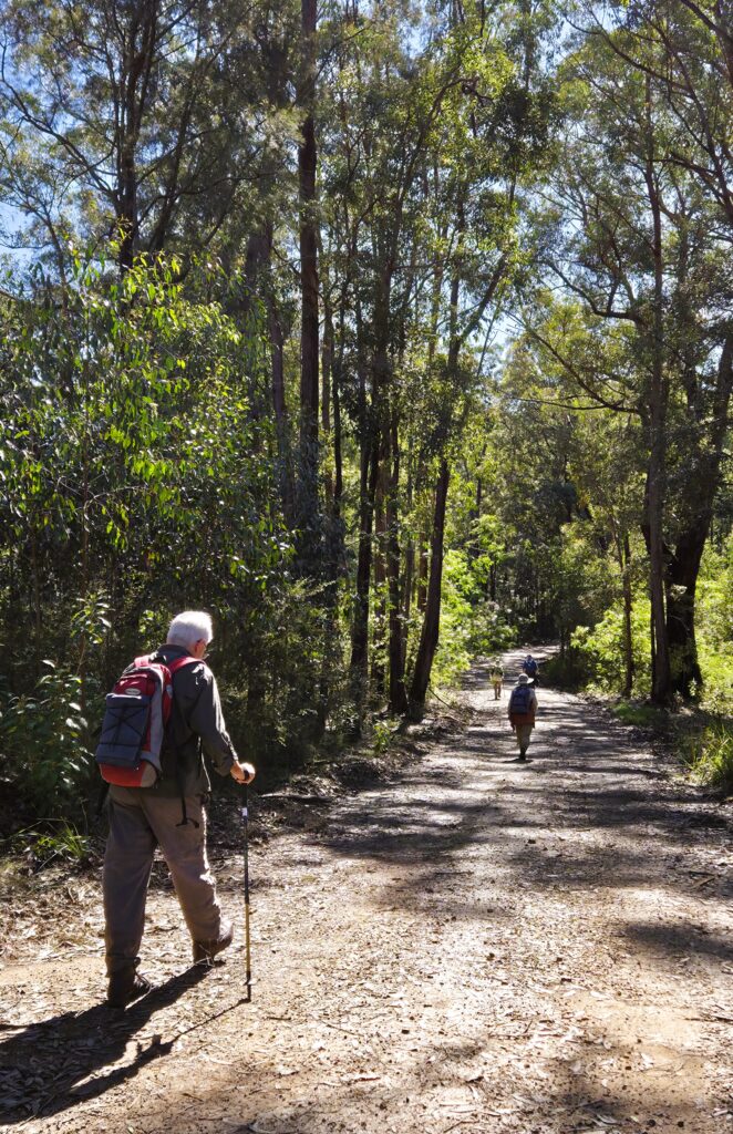
Now on the fire trail
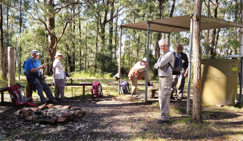
Our morning tea spot after the climb
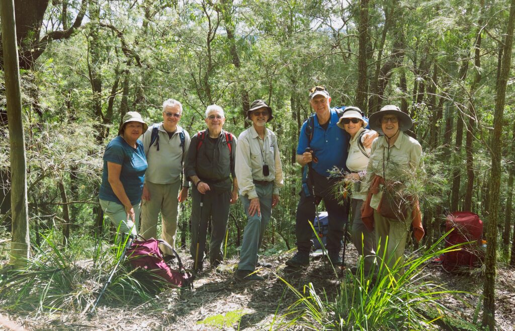
Group at our nice lunch spot just off the road

Engadine to Loftus via Audley and Temptation Creek

Sat 26th July 2025
11 keen walkers met at Loftus station for the 8.52 am train to Engadine, where the walk was to start. The forecast rain looked as if it was all past, and this proved to be the case. We had not one more drop the entire day. By morning tea the clouds were clearing, and we ate lunch in the sun, out of the wind. The creeks on the way to morning tea were only slightly up and the more major creek also presented no problem.

The group stuck closely together as we navigated through criss-crossing bike tracks and then gradually down to morning tea at Kangaroo Creek. The crossing of the side creek was achieved with everyone helping each other as well as a spot of bush bashing through creek-side vegetation. It was then up several flights of steel stairs before we wound around to the start of the loop up to the views of Robertson Knoll. This was a side trip off the track which led straight to Audley. There was a bit of grumbling about the decision not to go straight to Audley, but all agreed that the views were worth it.

After Robertson Knoll we walked straight through Audley, resisting the temptation to visit the restaurant or cafe, across the weir and up the Honeymoon Track. This was another lot of stairs, but this time mostly stone. It was decided to have lunch at the top on the sunny steps of the amphitheatre attached to the NPWS education centre. It was here that we decided to vary the walk slightly by going out to a lookout over Audley and leaving out the Temptation Creek section.

After the lookout, we followed the fire trail and then walking track, first along the old National Park rail line and then through the bush. This brought us out the crossing of a major road. We crossed safely by waiting for the lights in various places to create gaps in the traffic. After we returned to Loftus station, we went to Club on East in Sutherland for long and very interesting drinks. We learned about Janus, the Rubicon and the origin of cis and trans, as well as butt implants (a set of these had gone past us on the way up the Honeymoon Track).

Thanks to all for a very enjoyable day with good company and, as usual, all helping each other to ensure a great day.