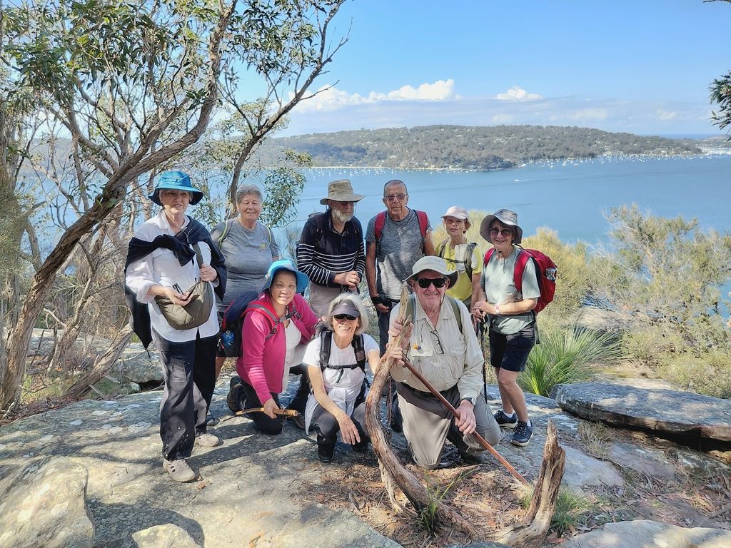
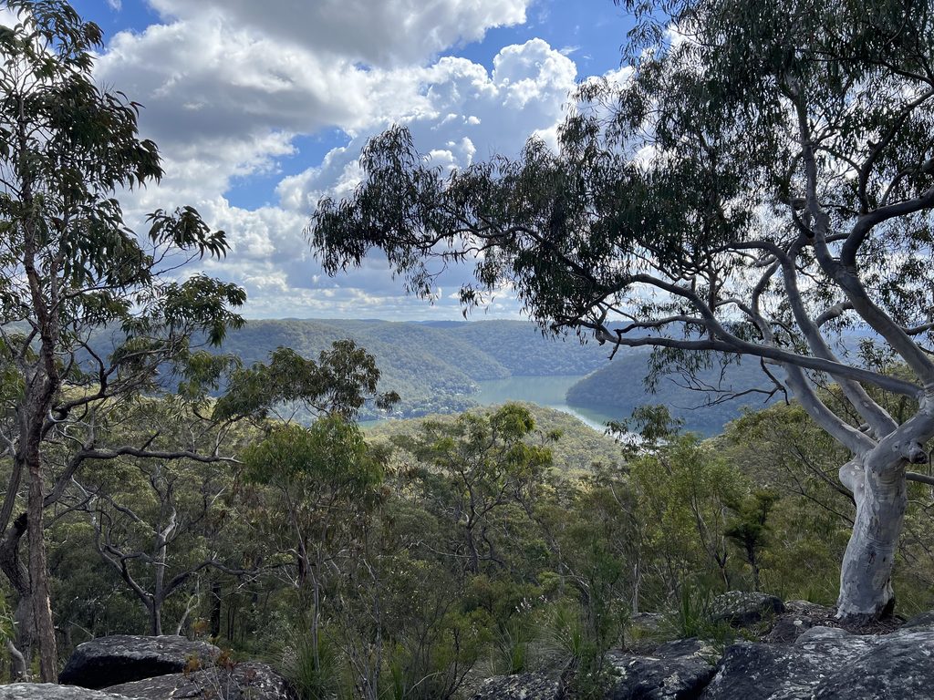
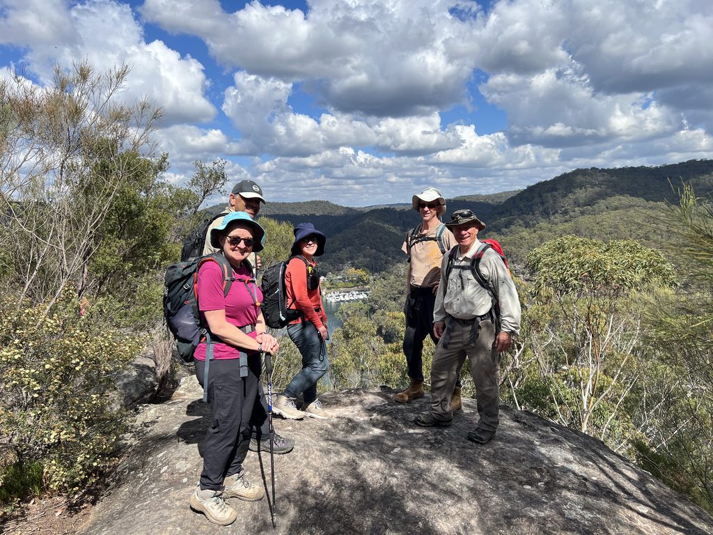
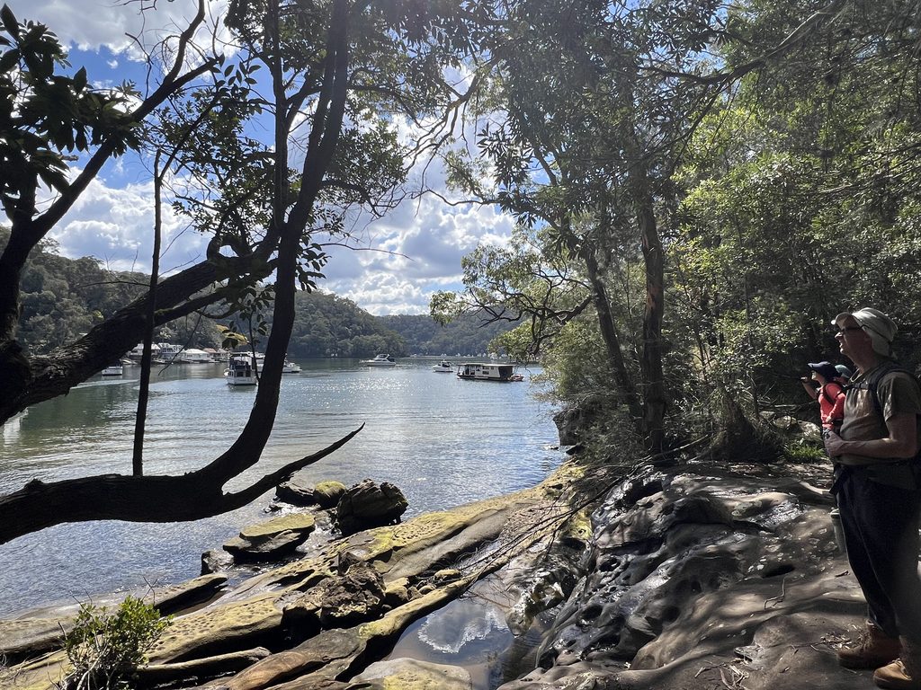
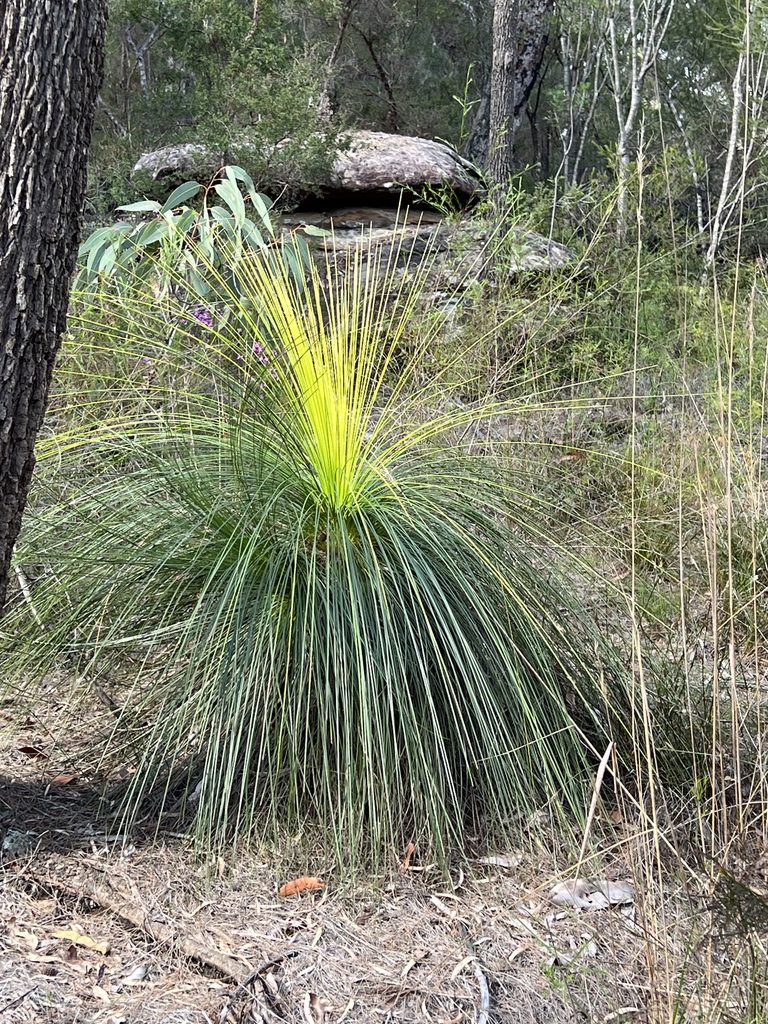
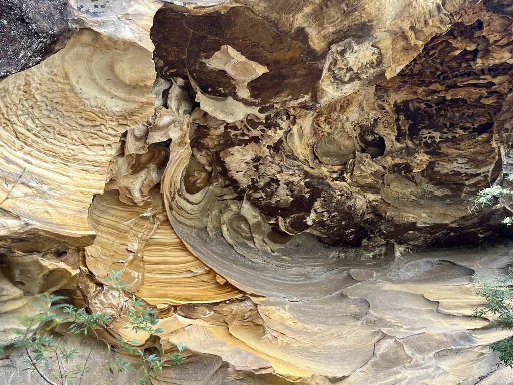
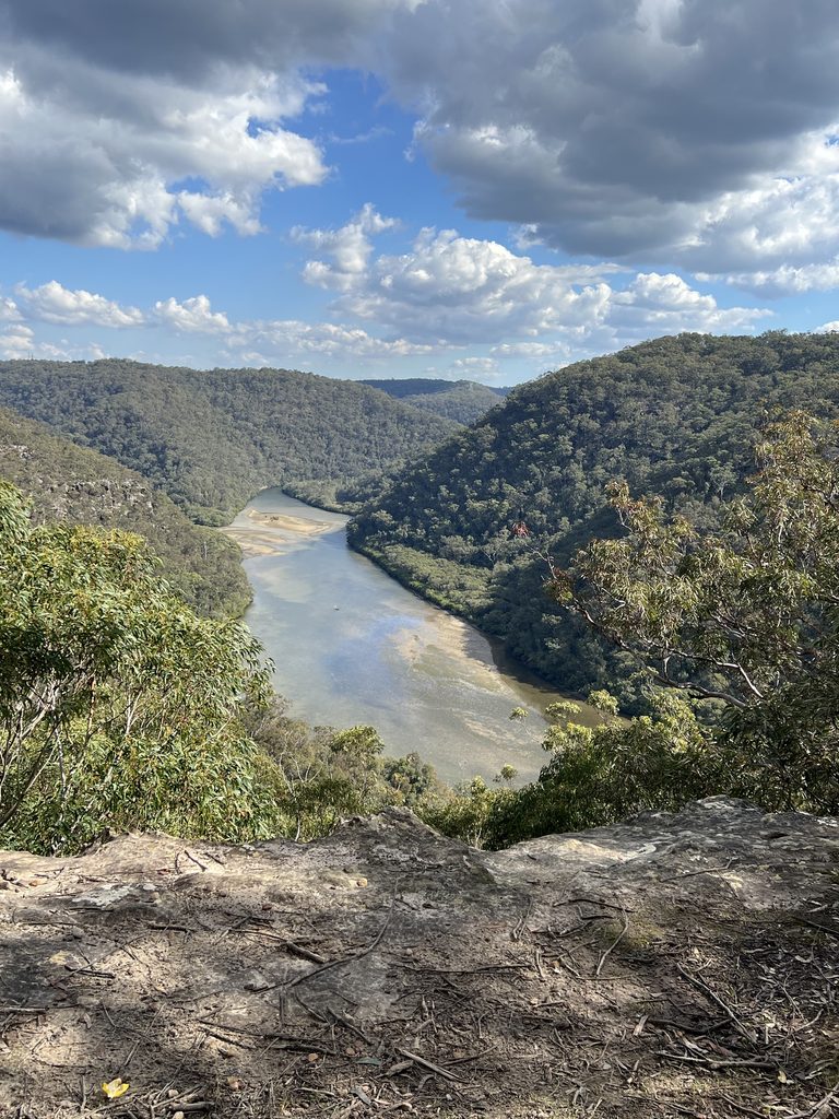
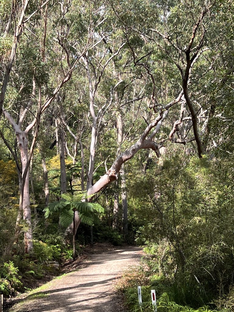
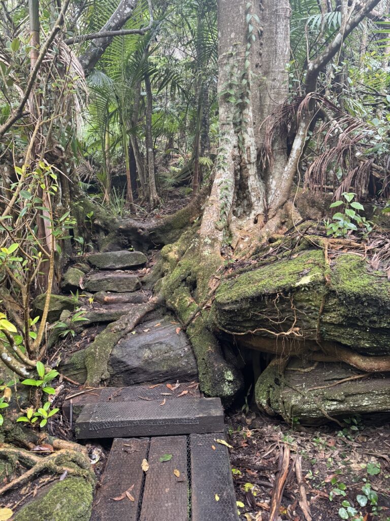
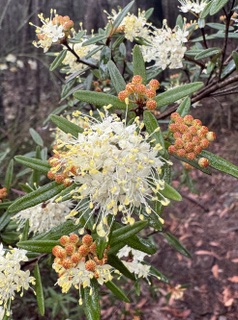
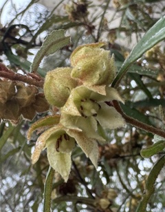
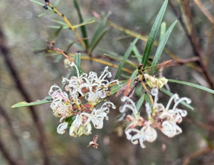
Unfortunately the Cowan to Berowra walk reported here was a bit much for some of us, many of whom are recovering/recuperating/just not fit enough! But the day was too good to waste so we enjoyed an easier ramble on some of the tracks. First up to the well maintained and explained aboriginal engravings site off the Basin Track and then to the Bairne Track.
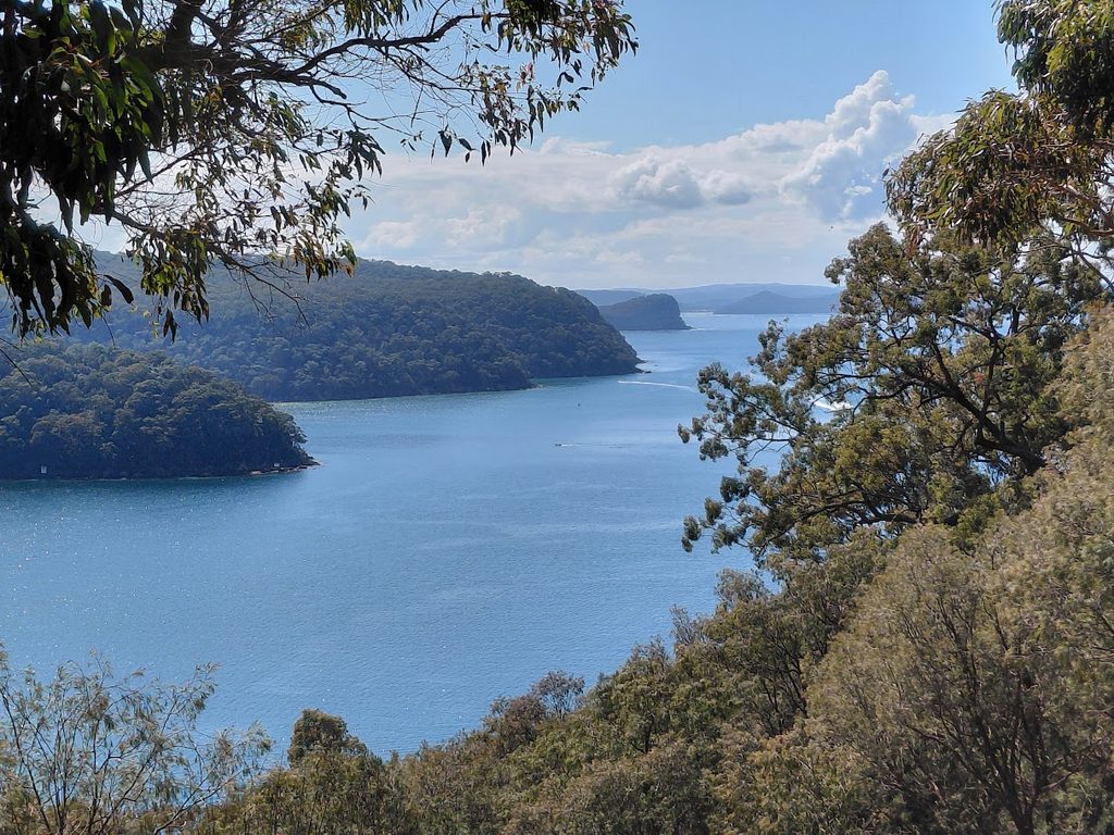
Morning tea (a little late) at Longnose Point Lookout overlooking upper reaches of Pittwater then on to Soldiers Point for great views northwards for our lunch break.
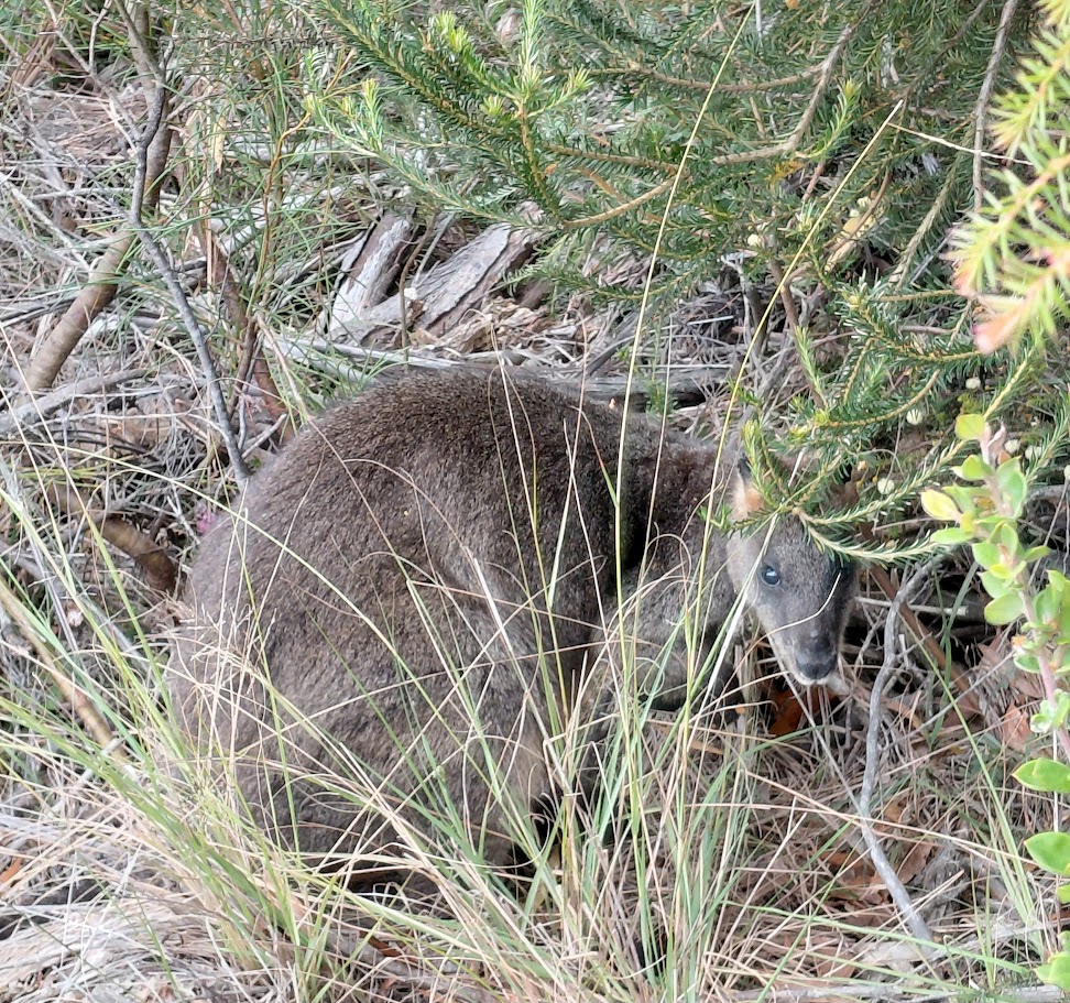
Great wildflowers, a swamp wallaby, good company (the people, not the swamp wallaby!). Refreshments enjoyed at Terrey Hills Tavern. Well done all.
Our day began at Berowra Station, where a train delay gave us plenty of time to socialise and soak up the morning sunshine. After meeting our final walker at Cowan, we noticed a massive hiking group heading for the same track. To stay ahead of the crowd, we did a quick introduction circle and hit the trail at a brisk pace.
The conditions were perfect: dry tracks, stable footing, and a beautiful display of seasonal wildflowers lining the route. We paused for morning tea on a sunny ridge, taking in the spectacular valley views.
After a brief stop at Berowra Waters, we tackled the long, seemingly endless climb up the ridge. A well-deserved lunch break near the summit fueled us for the next stretch down the valley and back up to the stunning Naa Badu Lookout.
After conquering one final hill, we arrived back in Berowra with excellent timing, wrapping up a fantastic day with cold drinks at Club Berowra.
Walkers: Wendy LR, Justin, Jas, Karina, Gary and Julie.
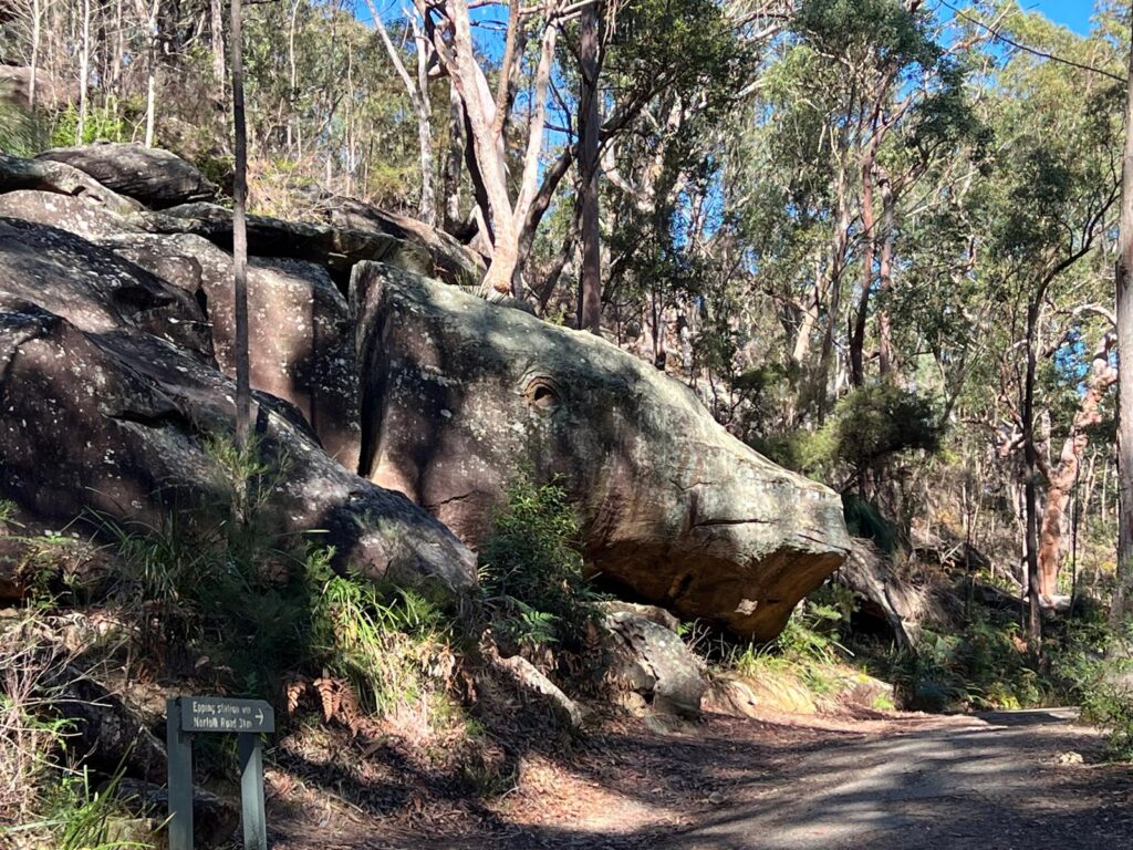
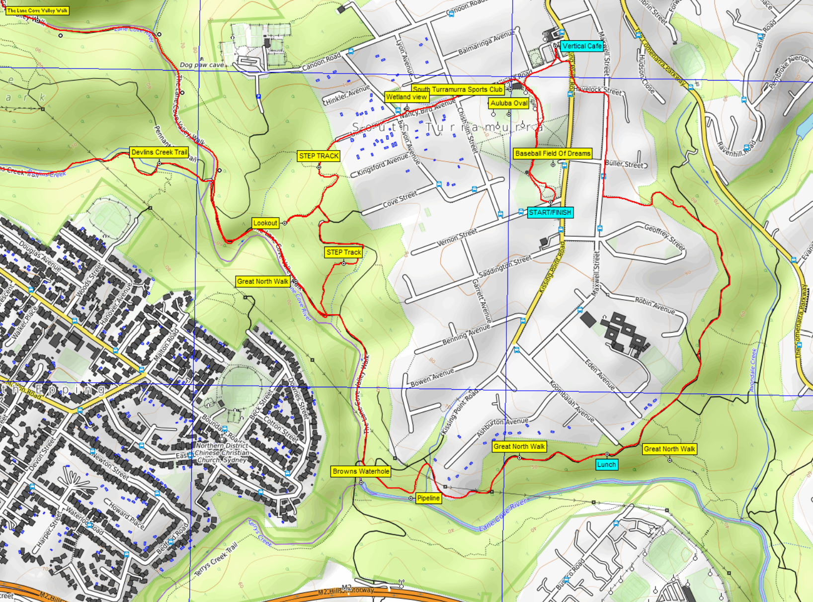
A lovely sunny and warm winter’s day greeted 4 enthusiastic walkers in South Turramurra. We quickly set off, passing Auluba Oval and the Wetlands on Nancy Bird Avenue before joining the S.T.E.P. Track at Ulm Avenue. A quick visit to the STEP track lookout then continuing to the Lane Cove River, we turned to head NW along the Lane Cove Valley Walk / The Great North Walk. It was not long before we left that track to head West up the Devlins Creek Trail to Whale Rock.
Whale Rock
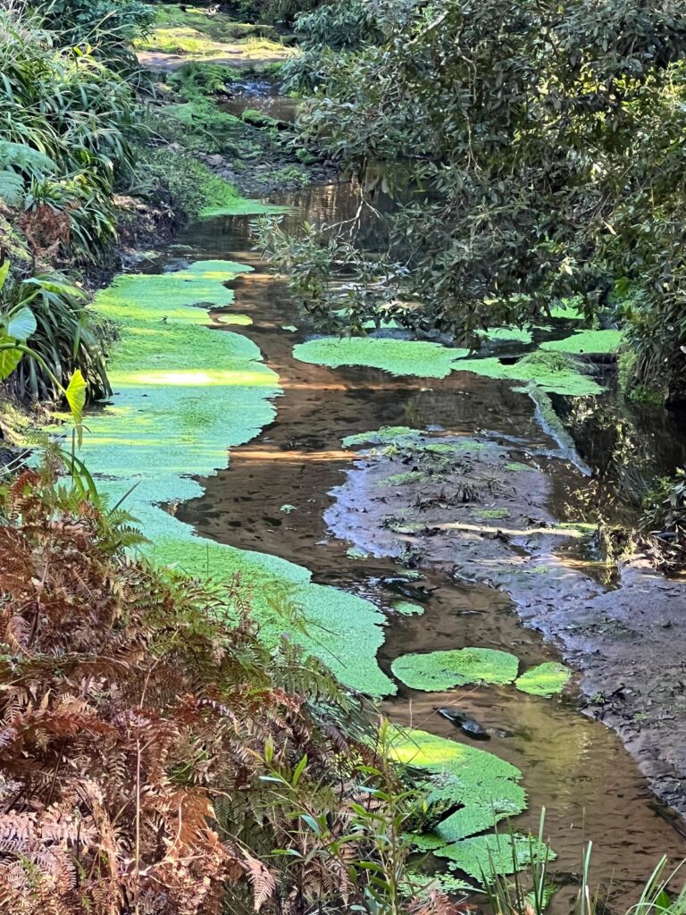
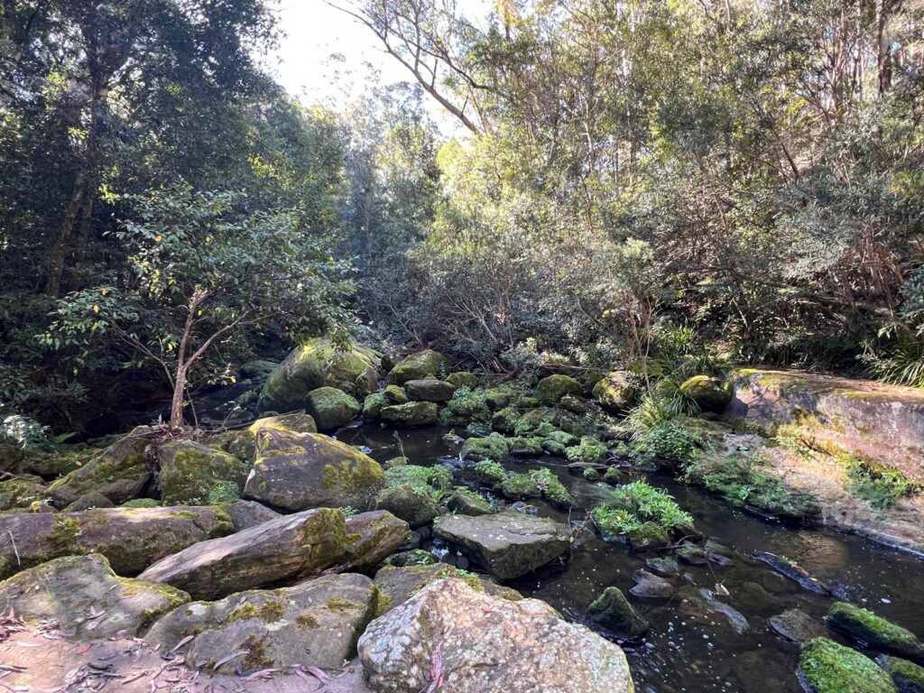
Pond on Devlins Creek
Creek
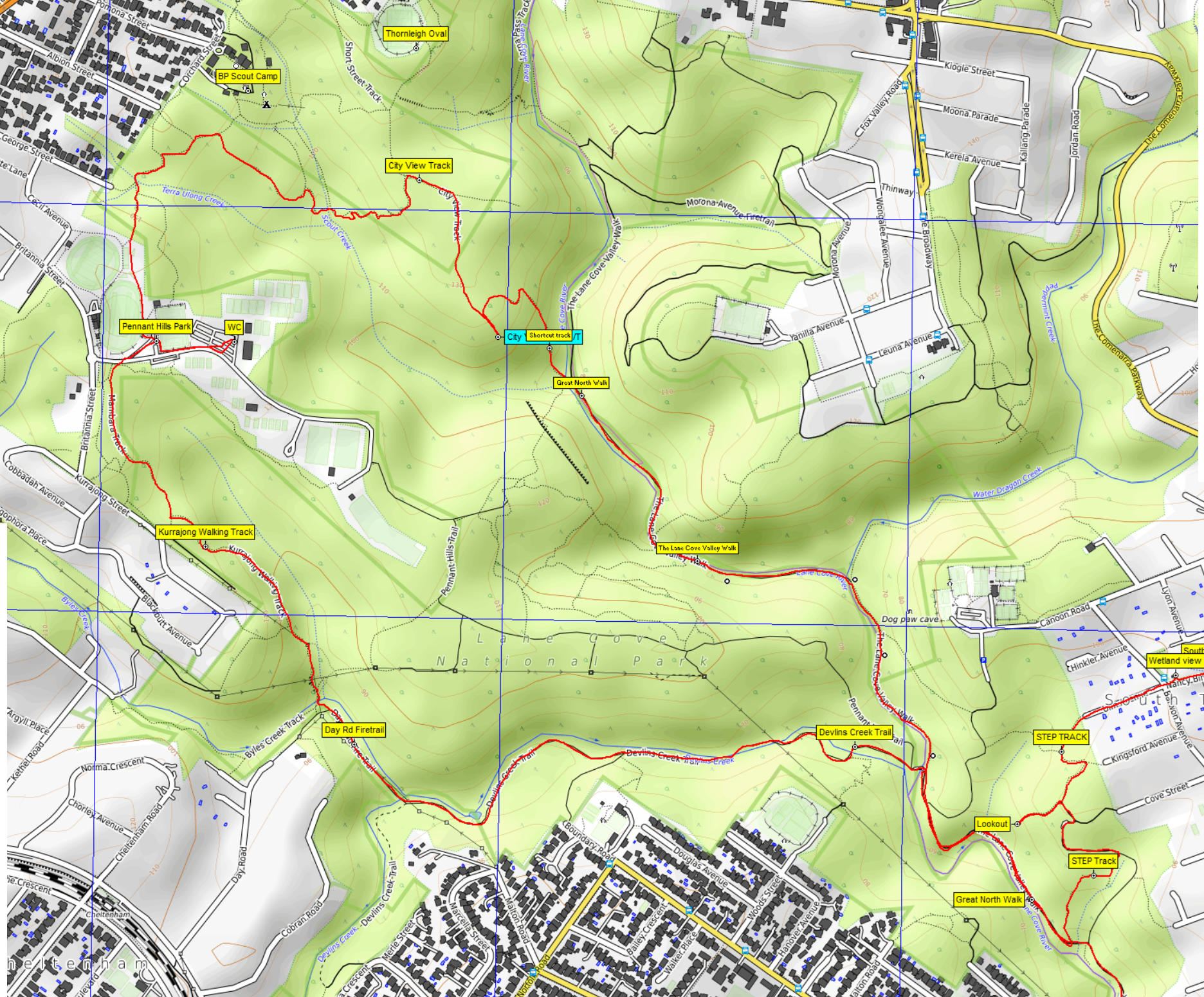
Continuing, we soon diverted from the Day Rd exit to Cheltenham, turning North onto the Kurrajong Walking Track to Pennant Hills Park. Talk about traffic! So much sport happening and so many cars. It’s much quieter on a Friday.
After a loo break, we exited the sporting chaos back into the quiet bush, heading east in the gully below Baden Powell Scout Camp.
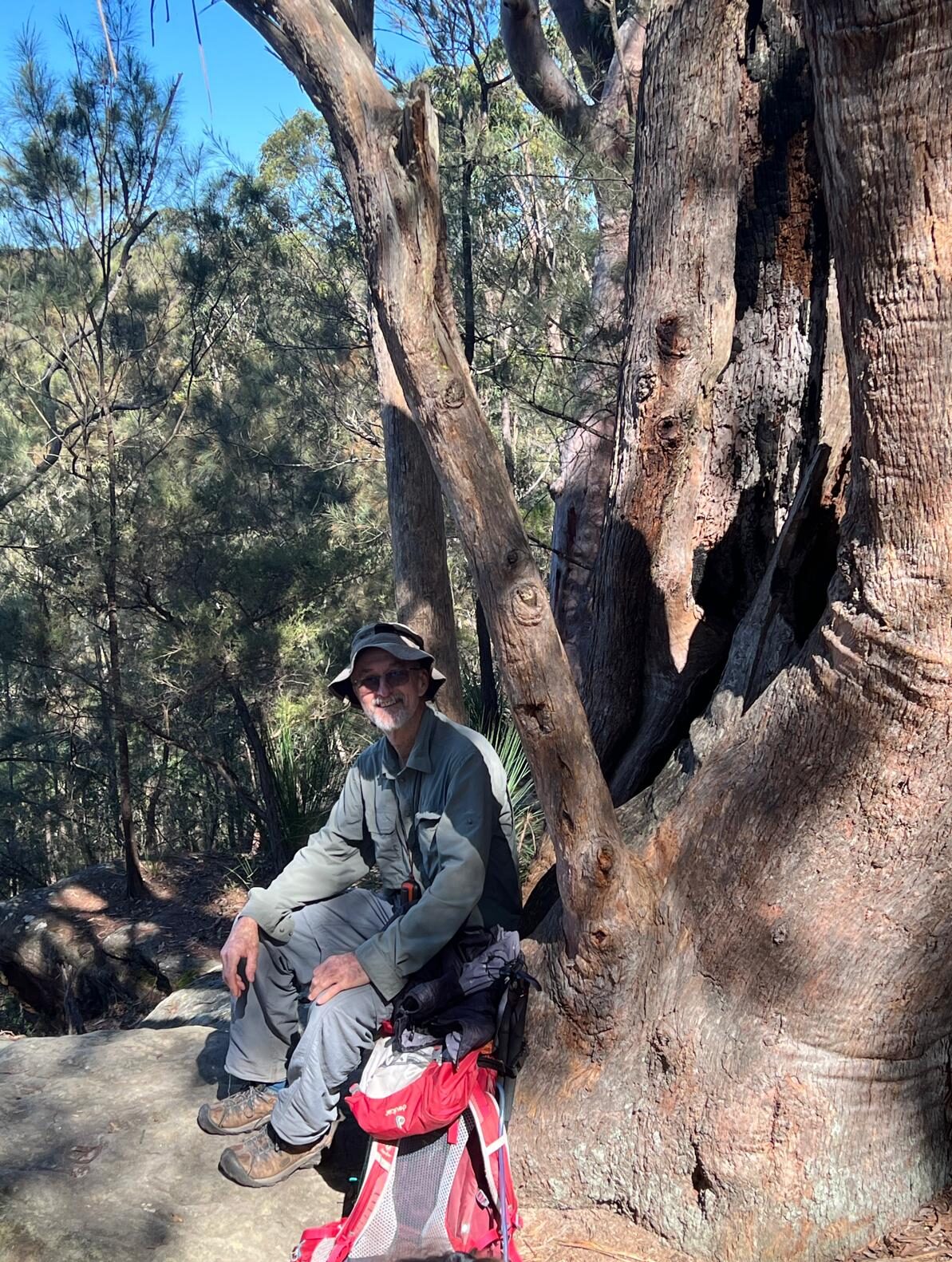
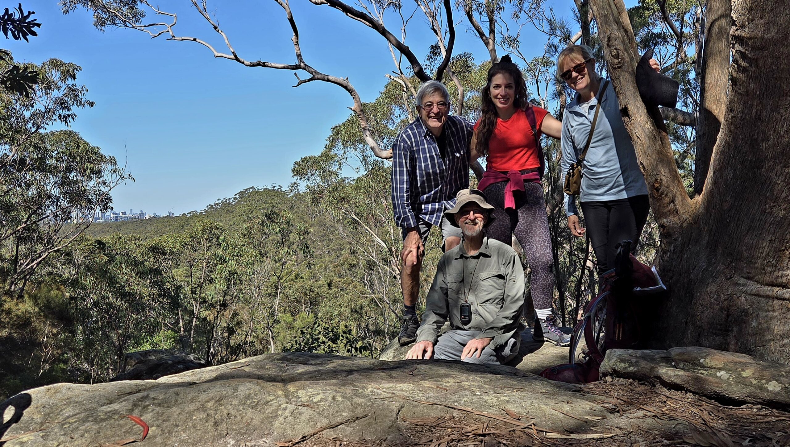
We soon found the turnoff to City View Lookout and headed out there for morning tea. The seat in the tree with a view, has been upgraded and was very comfy (leader privilege?)
Peter sitting on renovated seat at City View Lookout
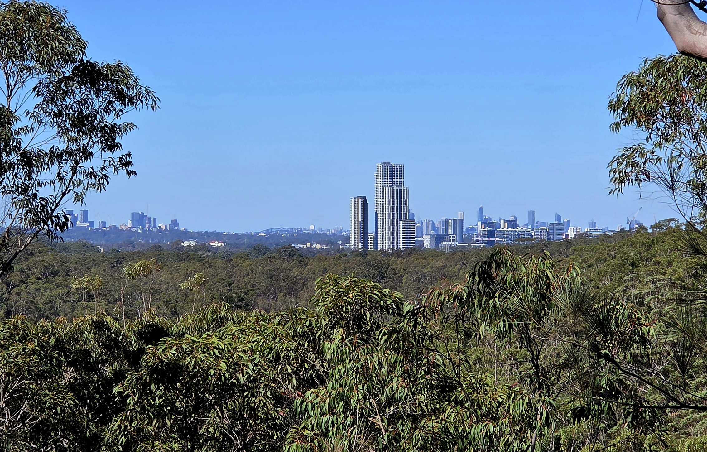
Macquarie Centre towers, Chatswood (left) and top of harbour bridge between – click to open in new tab
We decided the new tall buildings to our SE were at Macquarie Park, with Chatswood to the left and a distant Harbour Bridge just poking up above the horizon in the centre of those.
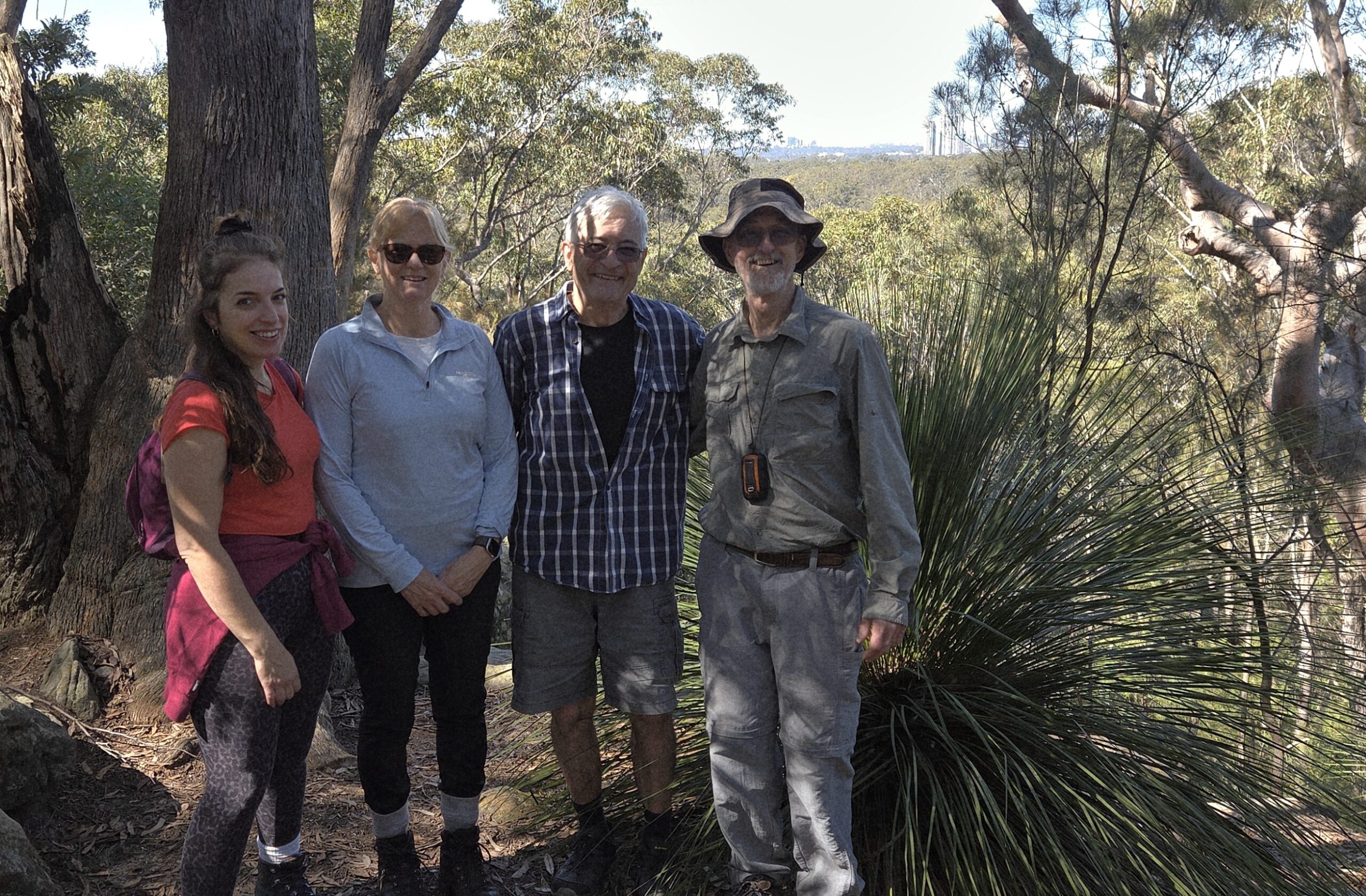
Group at City View Lookout – click to open in new tab
Group at City View Lookout – click to open in new tab
Group and distant photos taken, we headed back for 60m to then take the shortcut eastward back down the hill to cross the Lane Cove River and join the Great North Walk once again. We were now heading SE towards South Turramurra. After a couple of creek crossings, we were soon passing the Devlins Creek turnoff & the Canoon Rd exit to find ourselves at Browns Waterhole. Thinking about lunch spots, we headed up the hill to turn right onto the minor track passing the pipeline. Back onto The Great North Walk, we now headed east, skirting the southern parts of South Turramurra. Lunch on the track in the sun and then after continuing for a short while, we exited onto Maxwell Street to eventually end up at Vertical Café for afternoon tea where Jenny joined us. Another short stroll through the bush found us finishing at the cars on Vernon St.
Many thanks to Wendy LR, Marilia & Fernando for a nice day out.
Peter T
MAP 1 – click to open in new tab
MAP 2 – click to open in new tab
Distance covered was 15.45km, a little more than the planned 14.5km.
After a week of glorious late winter weather it was somewhat disappointing that Saturday dawned grey and overcast (just as forecast!).
But 7 determined walkers gathered at the end of White Cross Rd Winmalee and optimistically set off. Shaw’s Ridge trail was quite busy with local runners/walkers/cyclists but forest very healthy and wildflowers starting to appear.
Once down to Blue Gum Swamp Creek, the beautiful eucalypts impressed all. Turning onto Bees Nest Hill Trail, the pace reduced as the slope increased! Turning right onto Springwood Ridge Trail we were soon at Grose Head South Lookout for morning tea with great views over the river valley below.
All opted to continue on to Grose Head South trig point. This is a short but challenging clamber in both directions. One walker decided part way was enough, others all persisted. There is a walkers’ log book in a plastic container there, but as it was totally saturated we couldn’t add a record of our visit!
Now to return to the lookout point and the challenging clamber delivered a nasty dive for one of us but thankfully no major drama, just lots of antiseptic and large bandaids!
Not the best lunch location, but as we’d lost some time and it was now an intermittent drizzle, we paused for lunch at the intersection of Springwood Ridge Trail and Bees Nest Hill Trail then carefully made our way down Bees Nest Hill and turned right onto Blue Gum Swamp Trail. This section of the walk is beautiful forest and there were many many birds.
Back at cars at 2.15pm and group decided to grace the Lapstone Inn with our presence. Group remarked it was an interesting combination: 3 women, 4 men. And drink selections were 6 coffees to 1 Guinness (for the injured party)! Spot beside the fire was very pleasant. Thanks to all for stepping up to the challenges that the day presented. Val and David
Even as a bushwalking club, it’s nice to occasionally take a break from the bush and head to the coast for a refreshing change. We couldn’t have asked for a better day, with perfect, warm weather providing ideal conditions for our coastal adventure.
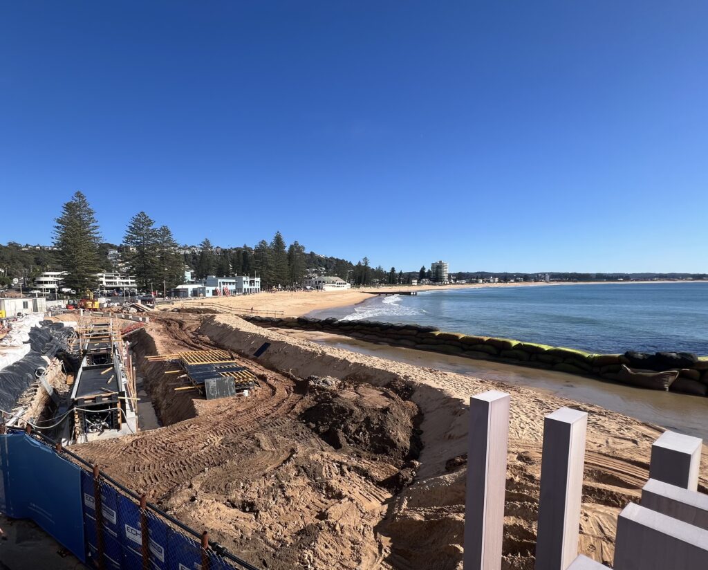
We began the walk on the beach near North Narrabeen SLSC, where we were fortunate to find a stretch of firm sand near the outgoing tide. We followed the beach for approximately 3.8 km until reaching Collaroy. There were major works happening here including reconstructing 70 metres of damaged seawall, upgrading stormwater drainage and rebuilding beach access stairs.
Works at Collaroy Beach
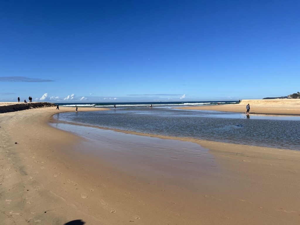
Dee Why Lagoon open to the ocean
We then joined the Dee Why to Curl Curl coastal walk. The weathered and rocky track slowed our progress a little over approximately 1.5 km, but the section offered some marvellous coastal lookouts along the way.
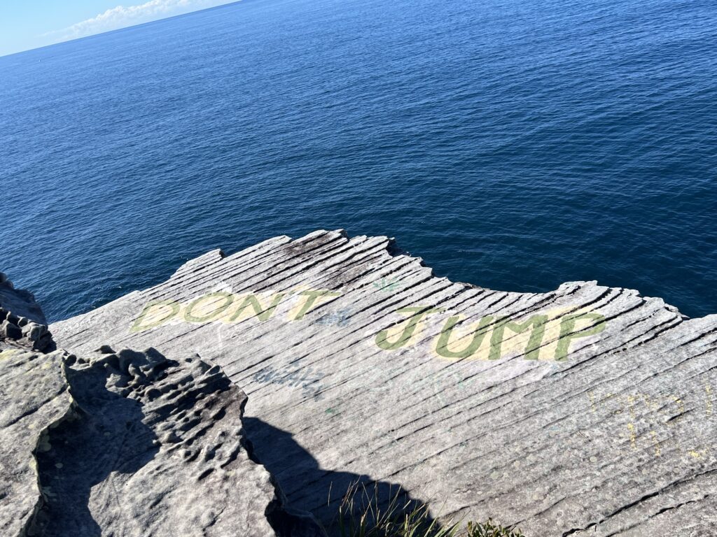
A previously undiscovered exit, at least by the leader, took us out to the aptly named ‘Don’t Jump Rock’, where we stopped for lunch and enjoyed the views. In bushwalking, this is known as either excellent route-finding or getting lucky. It certainly appeared to live up to its rather dramatic name!
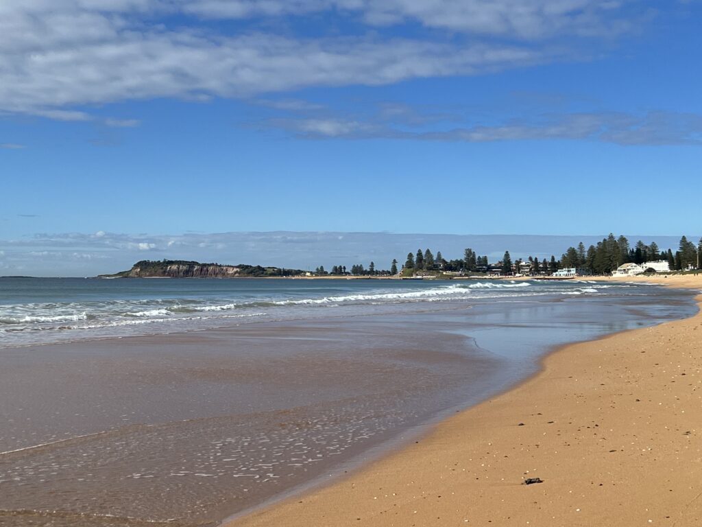
Looking towards Long Reef Headland
From Collaroy, we made our way up to Long Reef Headland for morning tea, enjoying sweeping views both up and down the coastline. There were plenty of fishermen out on the water, as well as several anglers making use of the rocks below the headland.
After morning tea, we continued past the stunning Long Reef Golf Course and down onto Long Reef Beach. Here we received an unexpected surprise – Dee Why Lagoon was open!
Fortunately, the tide was going out, so we took advantage of the opportunity to remove our shoes and socks and wade across.
Naturally, once we had gone that far, someone decided walking barefoot was now a perfectly legitimate hiking technique so we continued barefoot along Dee Why Beach until reaching the Dee Why Concourse, where footwear was put firmly back on.
Dont Jump Rock / Suicide rock?
At North Curl Curl 2 walkers took their pre-arranged exit, demonstrating the highly advanced bushwalking skill of knowing when to leave before the leader finds another obstacle, while the remainder of the group continued along the full length of Curl Curl Beach. We then followed the boardwalk around the Freshwater/Harbord Headland before enjoying more sand walking along Freshwater Beach.
The final challenge was a steep climb over Queenscliff, followed by the descent to the Manly Concourse and The Corso, marking the end of our 15.5 km coastal walk. The leader had promised there wouldn’t be much sand walking. In hindsight, this may have been an overly optimistic assessment of the route, as the group did spend a considerable portion of the day becoming very familiar with the beach.
By Manly, the group had well and truly earned a gelato. Unfortunately, half of Sydney appeared to have had exactly the same idea, so we decided to head straight to the bus for the journey back to our cars. Half way into our journey the bus driver gave a standing oration of the reasons behind industrial action being taken by the RTBU in the Northern Beaches and lower North Shore. The union argues that the privatisation of public transport networks has forced drivers to “do more with less” to protect corporate profits at the expense of employee welfare. He did seem very frustrated and we gave him a hearty applause.
The day was then rounded off with drinks and a relaxing catch-up at the Narrabeen Sands Hotel – the traditional and scientifically proven treatment for 15+ km of walking.
Overall, it was an enjoyable and varied coastal walk, combining beaches, headlands, rocky tracks, lookouts and a few unexpected adventures along the way. The excellent weather and good company made it a particularly enjoyable day out.
Walkers: Wendy LR, Loic, Jas, Pauline, Pragati, Fernando, Effie, Chris, Iren, David and Val. Distance: 15.5 km. Walking time: 4 hours 40 minutes. Total time: 5 hours 30 minutes.
Early morning showers did not deter 20 walkers who set off under cool and cloudy conditions. We were pleased that despite some threats, further showers held off until after the walk was completed. Entering Explosives Reserve, the track took us on a couple of loops through healthy bushland, with Scribbly gums, Casuarinas and a variety of early wildflowers showing their faces. Exiting the reserve in Camerary Rd, a short road walk took us ot HC Press Park and along the edge of Sugarloaf Bay. All walkers took the detour up to Wilkins castle which generated discussion of how much it would cost to buy and why anyone would build a castle.
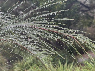
Casuarina after rain
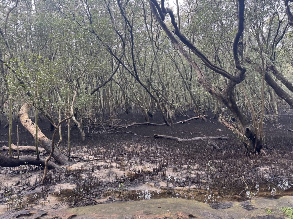
Scott’s Creek mangroves
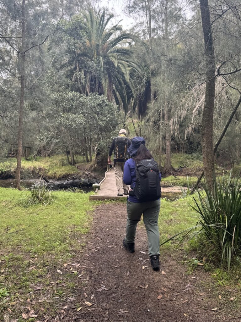
Returning to the track, we made our way along the North Arm Walking Track, with many forms lining the track, and morning tea along the way. The track crossed Scott’s Creek and followed the creek along before some steep steps took us up to the road. A few leeches were encountered and dealt with.
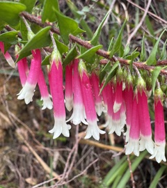
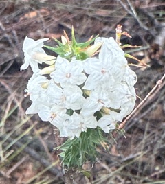
Epacris longiflora
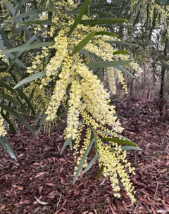
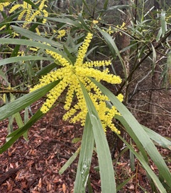
Acacia floribunda (?)
Crossing Scott’s Creek
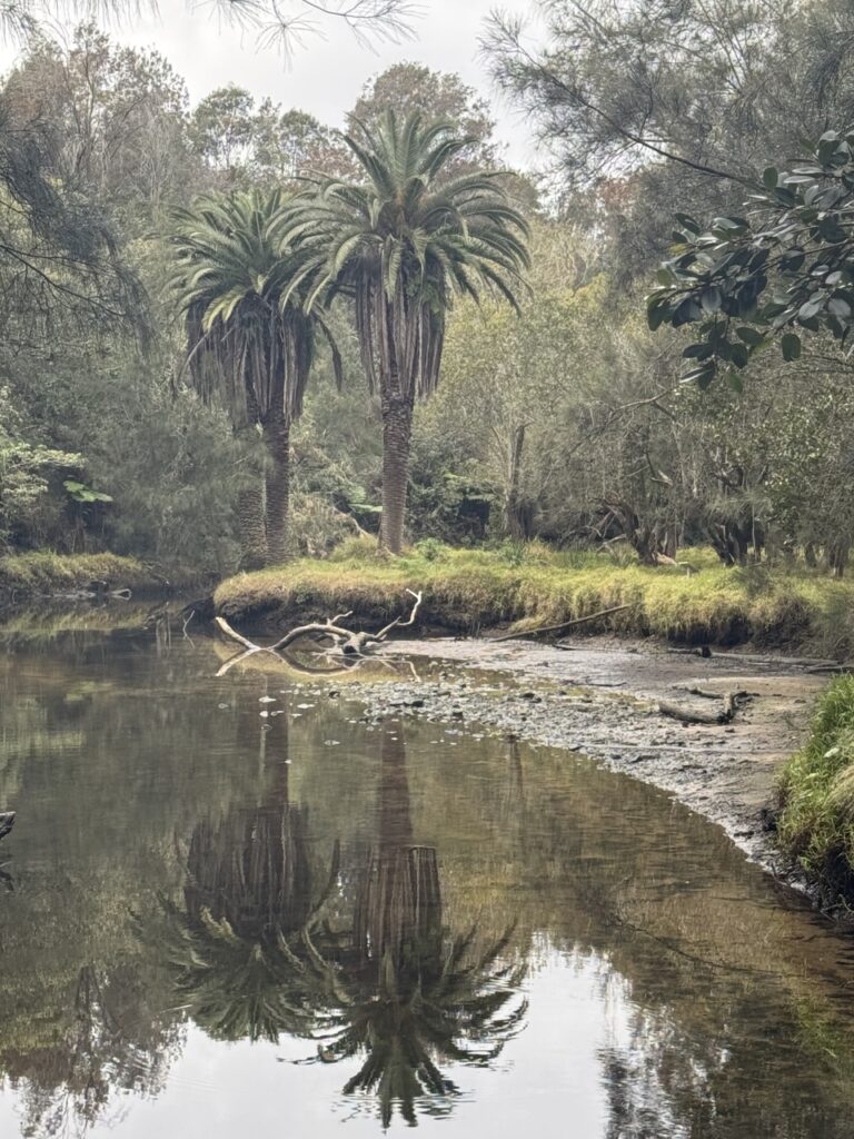
Reflections in Scott’s Creek
Another short road walk took us up to the Harold Reid Foreshore Track, around the base often Sugarloaf and then up to Harold Reid Reserve lookout for lunch with a view. completing the loop on top of the Sugarloaf, we returned to the start of the Harold Reid Foreshore Track and retraced out steps over Scott’s Creek, taking the paved trail back to Deepwater Rd adn then street walked back to the cars.
Drinks were enjoyed at the Castlecove Golf Club where the locals were friendly to the point of encouraging us to join their club, claiming that gold was “just like bushwalking, only with more swearing!”