Archives October 2026

#078 Hilltop-Bargo State Conservation Area
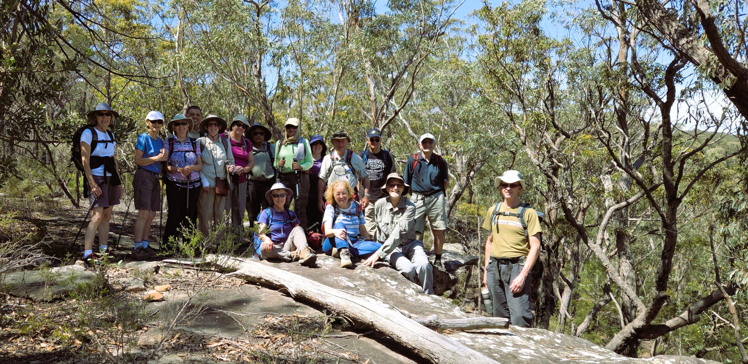
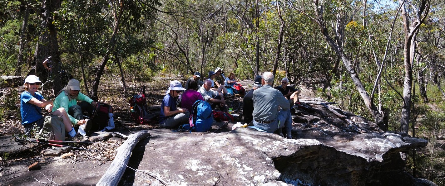
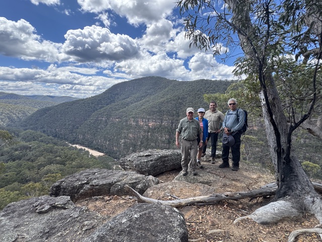
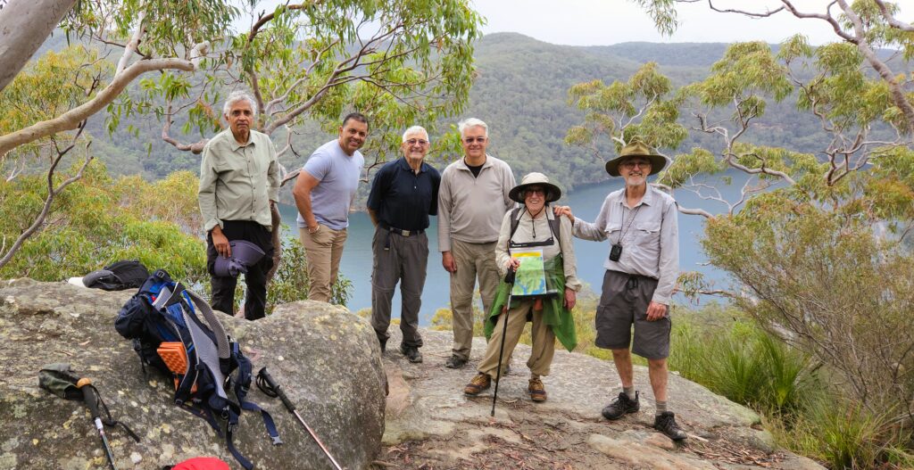
Group shot at morning tea lookout

This walk traverses an area which is different to our usual haunts. The bush is lower and undergrowth is sparser. The ground is mostly quite rocky. The hills are fairly low and creeks small.

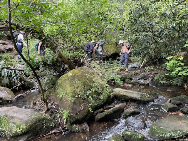
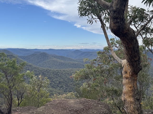
We (16 walkers) met at Hilltop (some of us very early, as the meeting time was half an hour later than usual). We then piled into 4 cars for the short trip to the start. After a briefing and circle (in the wrong order) we set off. The morning was uneventful, with lots of chatter as we strolled along a mostly flat bushwalking track to morning tea overlooking a view of hills and creeks. We then descended to a small creek, easily crossed as it was lower than usual, and then wound our way up a side creek.

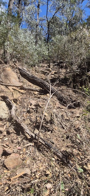
This was followed by the only really steep section of the day. Halfway up this section, one of the walkers fell over and gashed her arm. A joint effort ensued to clean and bandage the injury. This was later augmented by an antiseptic spray applied at lunch to further clean and disinfect. As a result of this, several of us have realised our first aid kits need an upgrade.

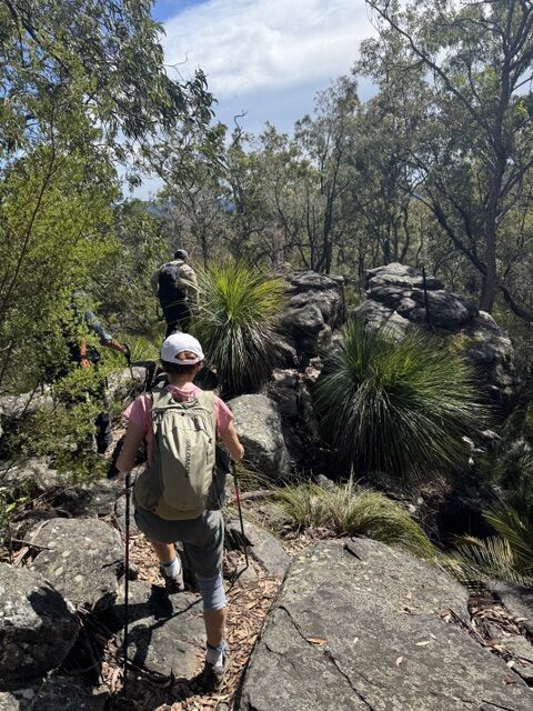
By lunch time the weather had become quite warm and humid and dark clouds were gathering. One group, some of them with pre-existing injuries, followed the fire trail back to the cars, as planned. Another group left to follow what turned out to be a very overgrown track parallel to the fire trail. This group found that the narrow track was so overgrown that they picked a point where it was only 60 m from the fire trail and left it to also follow the fire trail back to the cars.

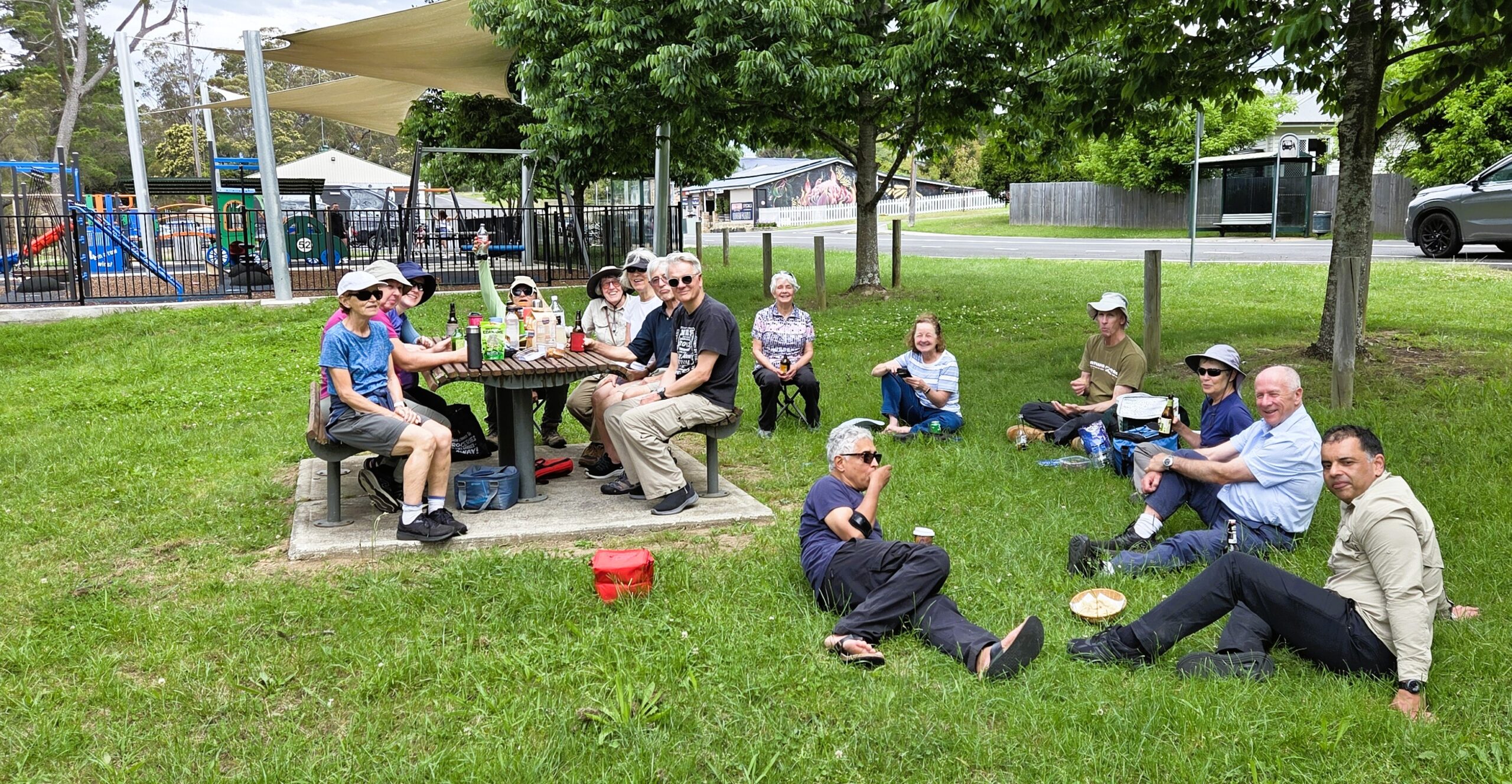
We had bought drinks and snacks to eat at the cars, but the threat of rain and the noise of gunfire from the rifle range and sirens from an unknown source made us decide that the park in Hilltop was a much better option for drinks. It was very shady and grassy, with picnic tables supplied. Since the last time we visited this area, the options for post walk drinks have improved. There are now 3 small cafes in Hilltop, which could be possible venues for drinks in the future. Thanks to all walkers for their company, enthusiasm for walking, and willingness to pitch in to help others.

Jenny
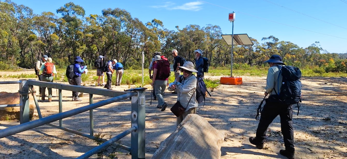
Gate at start – photo: Fernando
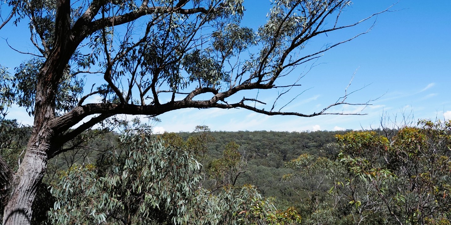
View from morning tea lookout – photo: Karina
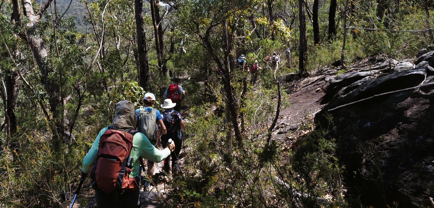
Morning descent – photo: Karina
Group on rock at Morning Tea – photo: Karina
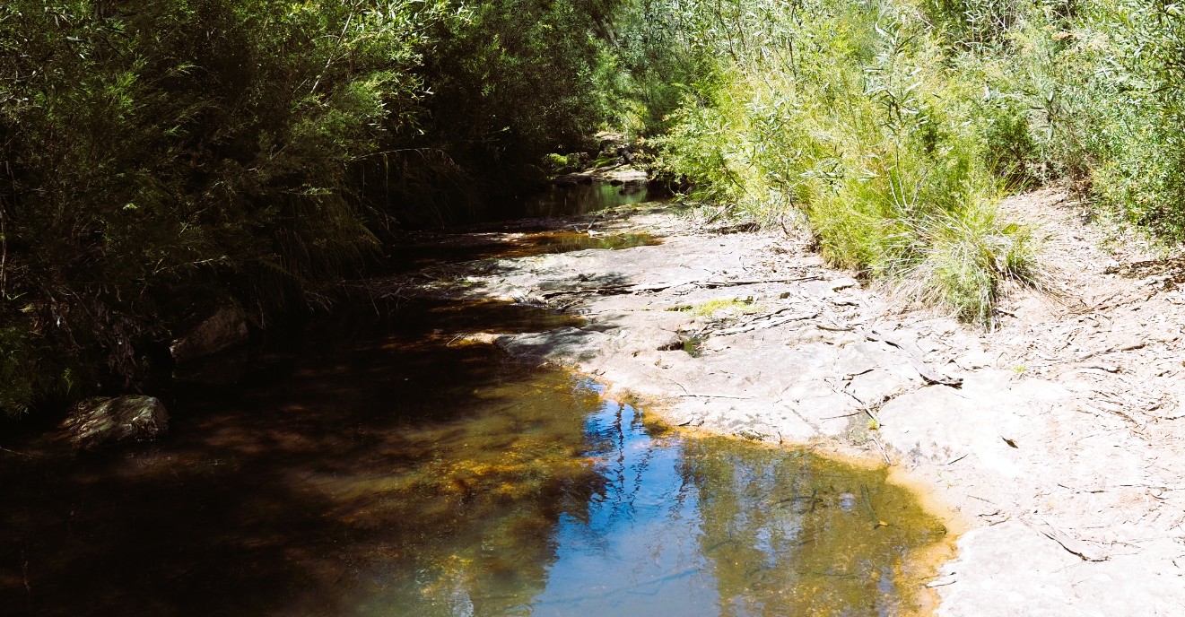
Approaching the creek – photo: Karina
Creek crossing- photo: Karina
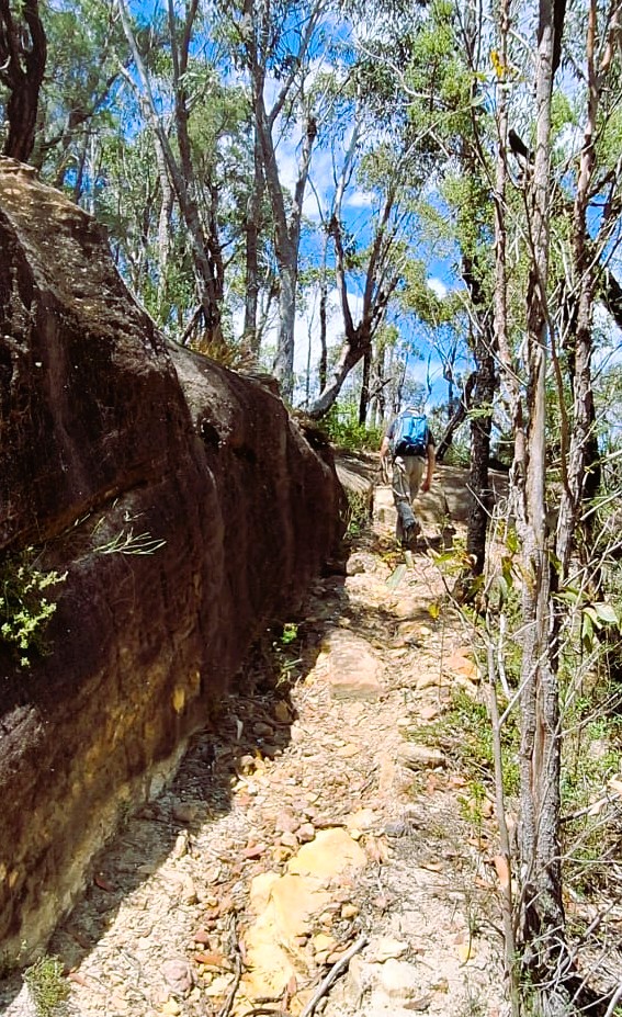
Half way up track after creek – photo: Fernando
Climbing hill after creek – photo: Fernando
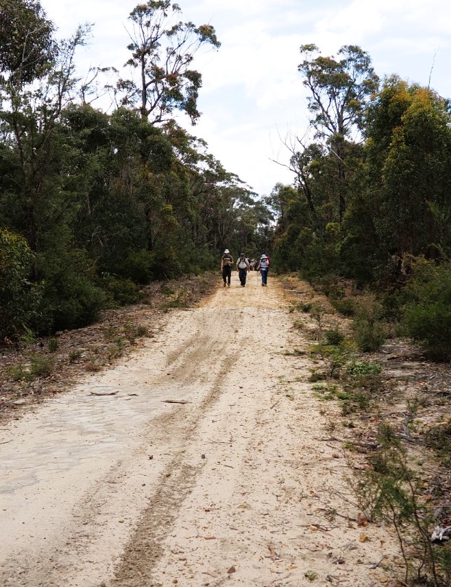
Return along power line track – photo: Karina
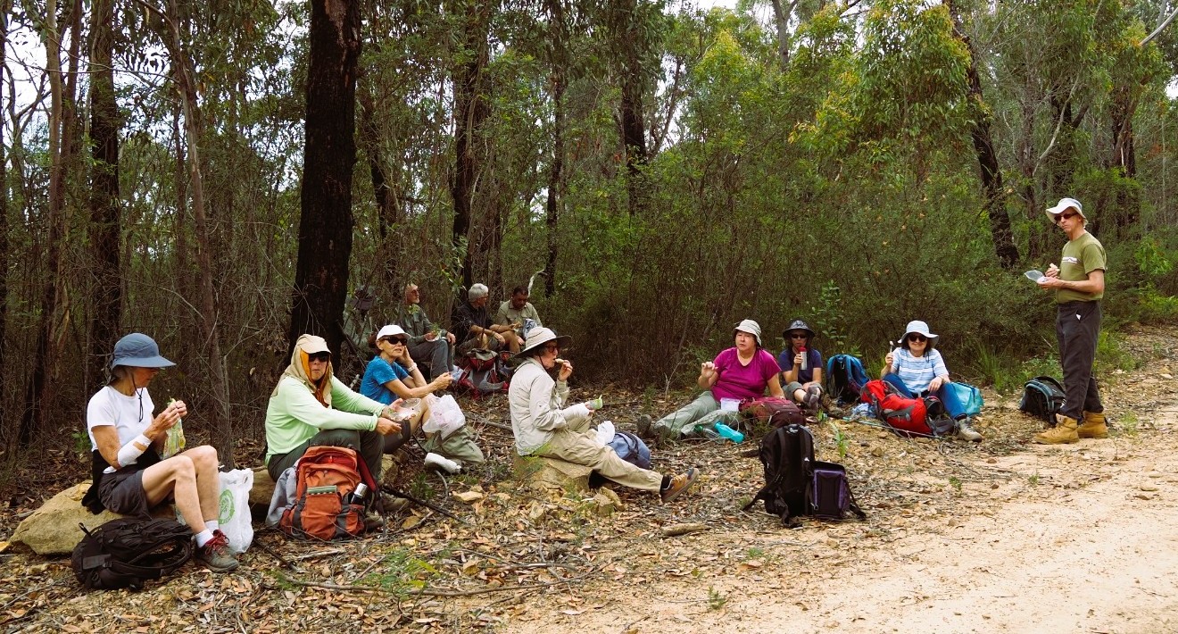
Group at lunch – photo: Karina
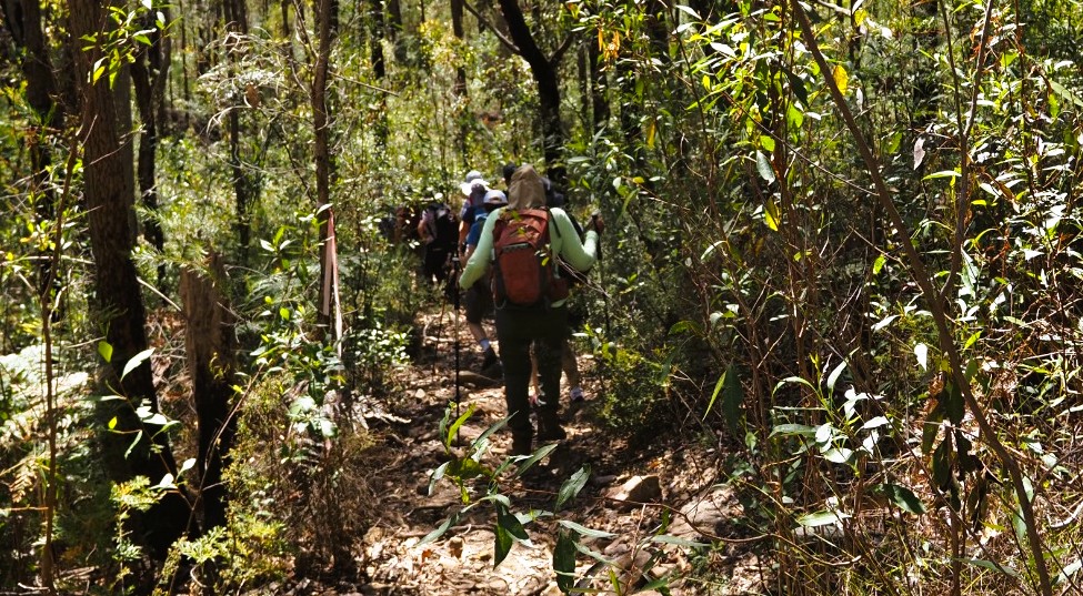
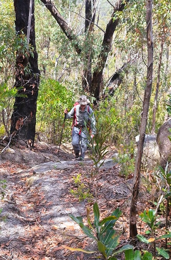
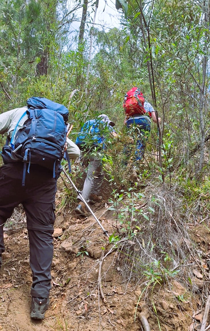
Climbing rough track after lunch – photo: Fernando
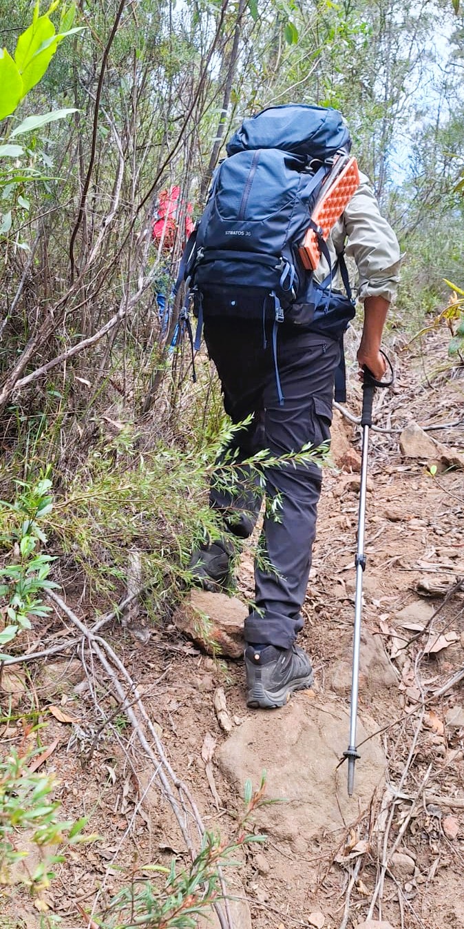
Climbing rough track after lunch 2 -photo: Fernando
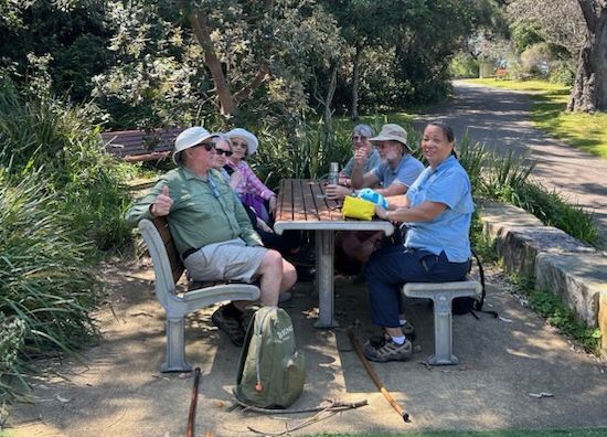
Group in Hilltop Park after walk

Cronulla to Hungry Point and Return 24 October 2026

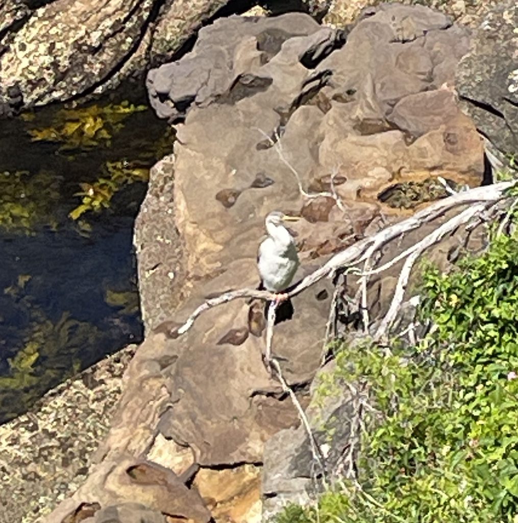
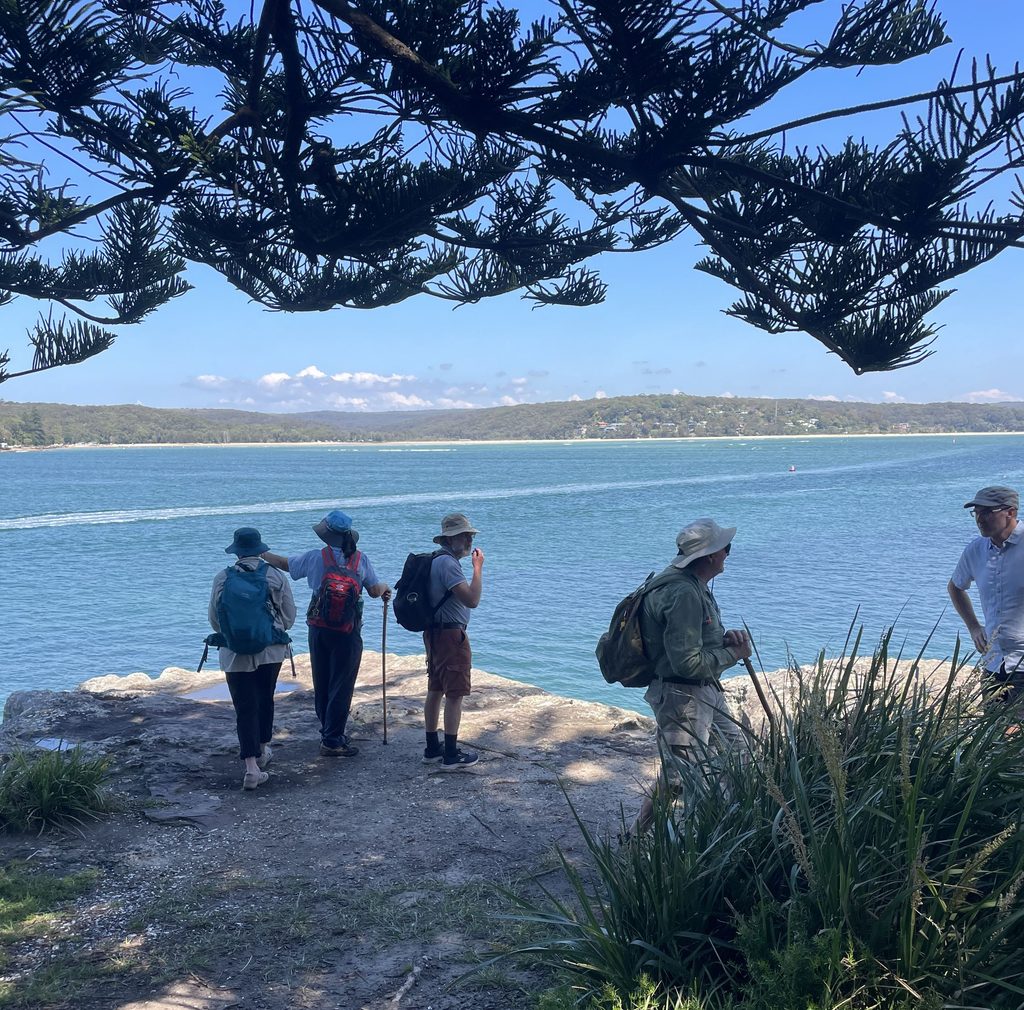
Six walkers made a later than usual start from Cronulla Station. The weather was ideal for an ocean-side walk and there were a lot of walkers, dogs and swimmers out. We followed The Esplanade south around the coast, first to Shelley Beach, then on to Oak Park. Morning tea was in Salmon Haul Bay Reserve near the historic Bass and Flinders Point memorial – views across to Bundeena and out to sea. On the positive side, we saw a couple of Australasian Darters. On the negative side there was a serious infestation of jet skis. We finished the outward walk at Hungry Point on the site of the old NSW Fisheries station.

We backtracked to Shelley Beach where four of the group had a slightly colder than expected swim, and those who were carrying lunch ate. Finally we walked back to Cronulla Beach where kebabs, coffee and ice cream were had as required.

Morning tea at Salmon Haul Bay
Australasian darter
Hungry Point looking across Port Hacking.
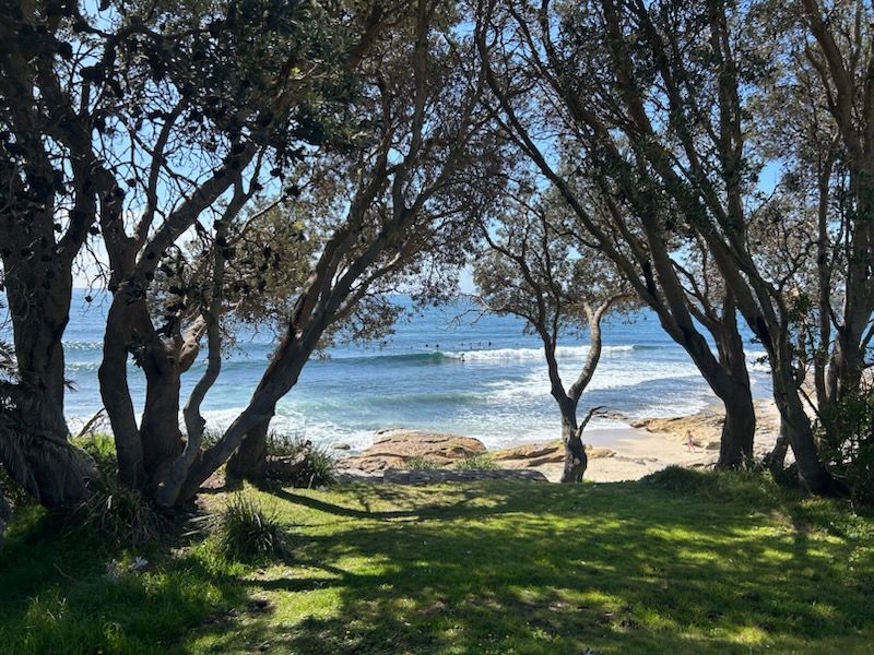
Sandshoes surf break, Oak Park.

079 6ft track from Megalong cemetery to Cox’s River with bonus wine tasting.

After 2 full days of rain prior to the walk, we were a bit concerned that the inclement weather might continue into the Saturday. As it turned out, it was a beautiful morning with clear blue sky and temperature in the low 20’s.

In total there were 10 walkers most of whom had made the 2 hour trip up from Sydney. Janet, Di and John had planned to camp at Megalong Valley Farm but decided on an AirBnb when we hit the rain Thursday afternoon. Smart move.  The walk coincided with a wine tasting at Dryridge Winery which is in the Megalong Valley just by the 6ft Track Route.

We slightly cheated by starting the walk by the Winery which is 2kms along the route. Despite that we ended up doing 12kms in total.

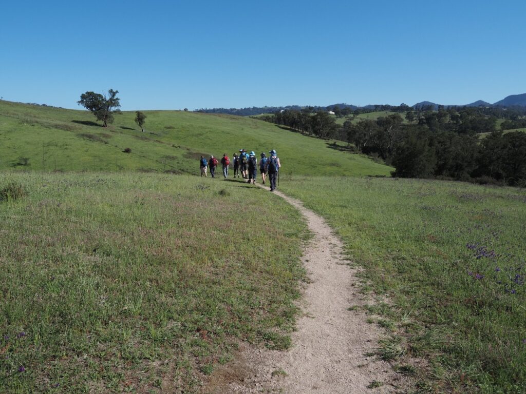
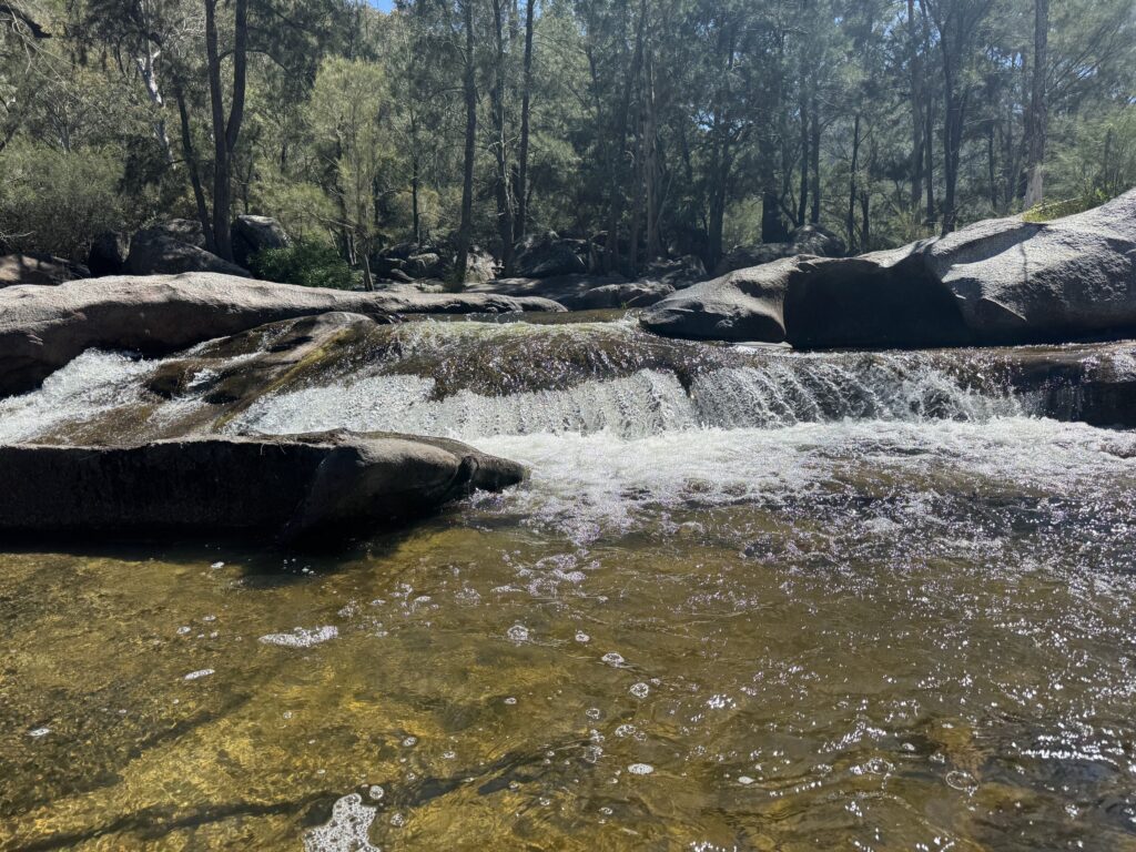
The track starts by crossing some fields with sweeping views of the Megalong Valley and then descends towards the Cox’s river. The track is clearly defined and meanders down along a ridge to the left of the Cox’s. Although we could hear the river it did not come into view until 55 minutes into the walk. The terrain down to the Cox’s was through bush which afforded a little shade from the sun. We expected the river to be higher because of the rain but nevertheless it was running at a good flow.

Setting out across the hills.

There were views towards Kananagra from Ron’s Roost which is a bench seat in the shade about 40 minutes into the walk and which was ideal for a drink stop. 

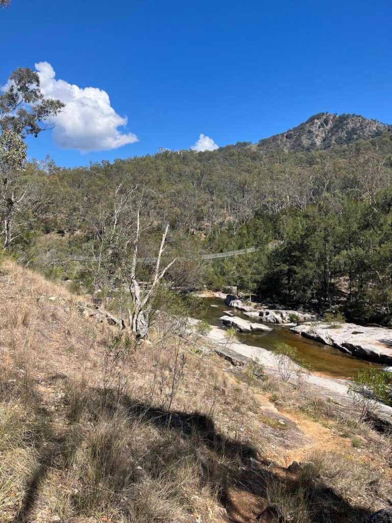
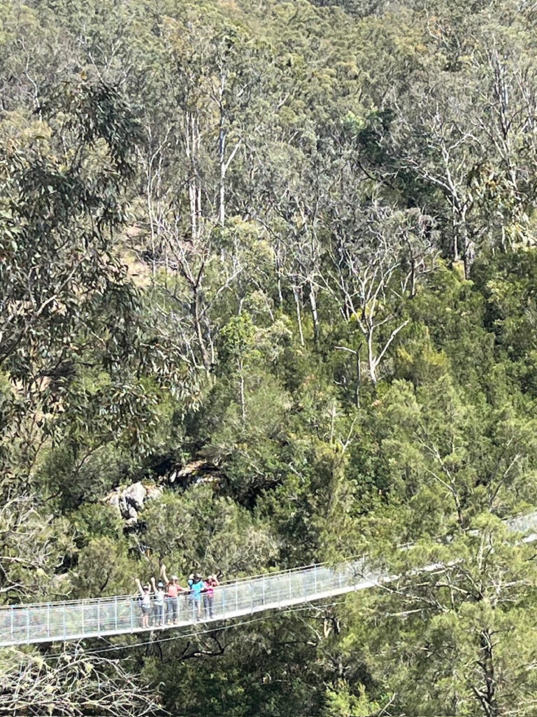
We continued to walk down to the river and along it until Bowtell’s Suspension Bridge came into view. The original Bowtell’s Bridge was built in 1991 and was named after Corporal Bob Bowtell an engineer who died during the Vietnam war on Jan 11 1966. It is a 100m suspension bridge enabling walkers doing the full 6ft Track (42kms) to cross the Cox’s when the river is flowing hard. The new bridge which is a U Shaped configuration capable of supporting 5 people was opened on 13 September 2024. 

Bowtell’s Bridge coming into view.
Bowtell’s Bridge

We all decided to cross the bridge to get views from the other side before returning along the Cox’s to find shelter for morning tea along the bank.

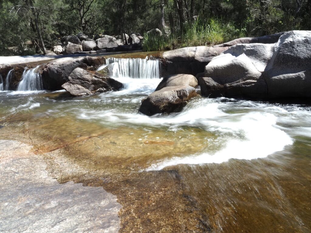
Cox’s River near Bowtell’s bridge.
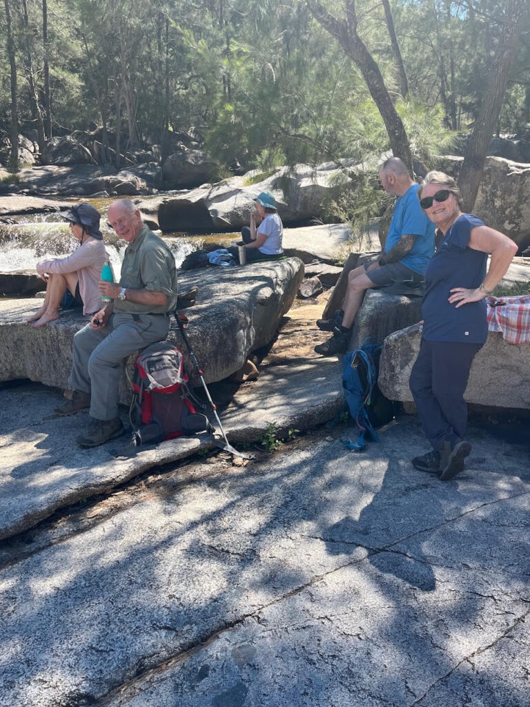
Morning tea by Cox’s River
Cox’s River at morning tea.

The walk returned on the same route with Di leading and John plodding at the rear. Many wonderful birds were seen and or heard on the route including a Black Cockatoo.

The walk up was a steady 350m up from the river which we did in 1.45 hrs owing to the higher temperature (which we estimated at 25c) and instead of returning to the start of the walk we entered the Dryridge Winery just off the track.

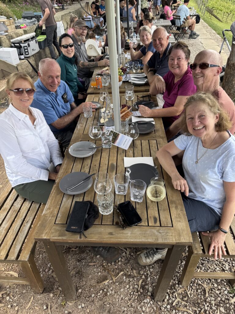
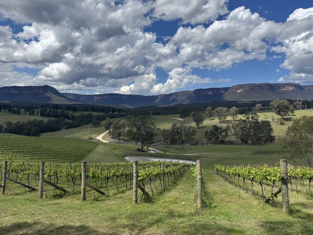
The winery has sweeping views of the Megalong Valley and is very popular for wine tasting with their ploughmans, cheese and charcuterie boards.  It made a very nice change and everyone felt that it was a great way to finish the walk. 

This section of the 6ft Track is probably the most scenic and is a nice way to experience one of Australia’s landmark walking tracks.

Our thanks to everyone who did the walk and we hope that everyone enjoyed it

Best Regards

John & Di 

Wine tasting at Dryridge Winery
View from the tasting table

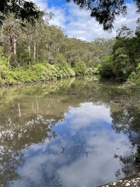
West Pymble to Field of Mars via Lane Cove River

Well the forecast was a bit sketchy, but the weather was certainly not! A lovely spring day met 13 walkers who started the walk at West Pymble rather than the advertised Christie Park start point due to Lane Cove River being up after recent rains.

The leader was somewhat distracted by her new and very nerdedly wonderful bird call detection app – Merlin by Cornell Labs, which identified 16 different bird calls during the walk. Bushwalks may never be the same. Highlights were definitely the large number of small birds now uncommon in the suburbs like variegated fairywren, yellow-faced honeyeater, Lewin’s honeyeater, Scarlet myzomeia, Brown Gerygone, Gray fantail, Golden whistler, and Eastern yellow robin. We heard all of them but saw none of them. Was still tops!

We made good time down to the weir and was reminded how very lovely the Lane Cove River Valley is in many parts despite its suburban catchment. We pushed on through Fairy land and the mangroves next to Pittwater Road before heading up the final leg past the Field of Mars cemetery where a swamp wallaby briefly outshone the bird life for attention.

Everyone had a good day, I think and the noisy drinks at the rooftop bar of ‘the Governor’ were of at least of interest to those who wondered why this enormous pub was tucked down in the backwaters of North Ryde on the way to the waste transfer station.

Thanks all for a great day and a warm welcome to our visitor Jonelle. Cheers to all, Julie and Garry

073 Mountain Lagoon to Colo River

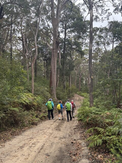
5 walkers undertook the challenge, meeting at Mountain Lagoon and then slowly driving 2.3km along the uneven fire trail to park the cars. There were some spots of rain falling as we prepared to set out- just enough to persuade us to don rain gear. The first 3km of walking was along pleasant fire trail, with tall trees shading the undulating track and some wildflowers adorning the sides of the track. There was quite a lot of accompanying bird song. With the rain reducing to zero, rain gear was packed away before we reached the end of the fire trail.

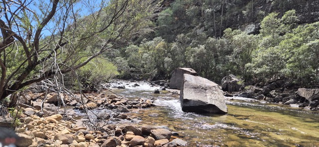
Colo River
Pleasant shady firetrail
View over Wollemi NP

The bush section of the track took us down a ridge line, with wide views over the Wollemi National Park at the top (and where we stopped for morning tea) and then a series of drops over rocky edges with more gradual slopes in between. There were a lot of yellow bloodwood trees, and at times we were pushing through head high undergrowth. On reaching the lookout point, 2 walkers elected to wait while the other 3 continued the last 1.3km down to the Colo River.

At the view point-looking down to the Colo River
The last descent to the river was ill-defined in places and was slow going.
Rough bush track

The last section of track is quite steep, and in places ill-defined, with some debris across the path, making it slow going. However, the river had a good level of running water, and walkers were able to take in the majesty of the cliffs above. The group re-united back at the lookout and all set off back up the ridge line, clambering up and over the rocky points and pushing ever upwards (or so it seemed). It was a relief to get back to the fire trail and we really appreciated having left the cars part-way along the fire trail. Coffee, cider, ice cream and muffins (with apple pie to take away) were enjoyed at Bells Mountain Cafe on the way home. Well done all on a challenging day!

Long Track Duffys Forest – including off track exploratory

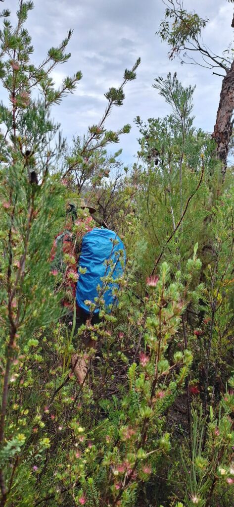
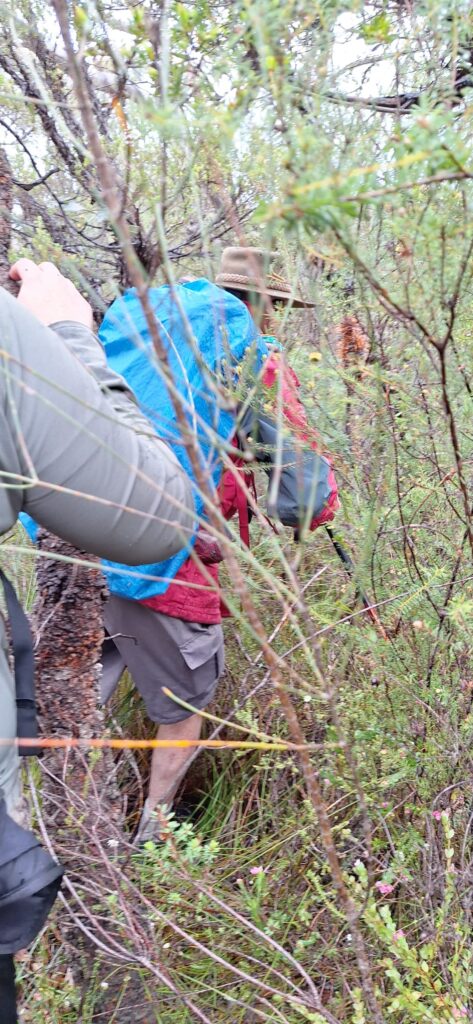
Six keen walkers attended the extra walk put on over the long weekend. With rain forecast, the U&D rain gods once again shone on us. No rain experienced all day! Raincoats were useful on the bush bash with wet foliage to negotiate.

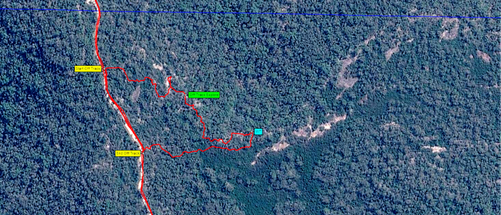
The plan was to do the cancelled exploration of the Western ridge of the Mt. Murray Anderson trail (programmed for 5th Sept), to find more of the published Aboriginal engravings. Once again however, we had to modify that plan as the original Hazard Reduction burn was expanded and included both sides of that main track. Avoiding damaging sensitive burnt bush, we opted to explore some rock shelves to the north of Long Track instead.

With 2 options based on satellite images, we decided on trying the first section, 2.3km along Long Track.
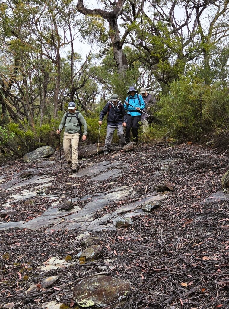
This proved to be a true bush bashing adventure (as Matthew described it). Fighting through dense scrub with the odd reprieve of rock, we stopped about 350m in, for morning tea on a sunny and rocky outcrop with a view to the north.
Here we decided that we had had enough and would take a shortcut back to Long Track.

The 600m of bush bash took us an hour to get through, not counting our 20m morning tea stop!

We decided to now have an easy day by getting to the end of Long Track with great views of Cowan Creek.
Lunch back down the track at the other lookout, then back to the cars with the promise of coffee at Terry Hills.

It was a fun day out. Thanks to all.

Distance covered 10.5km

Peter’s photos: https://photos.app.goo.gl/J2YYujxjjawMMxoP8

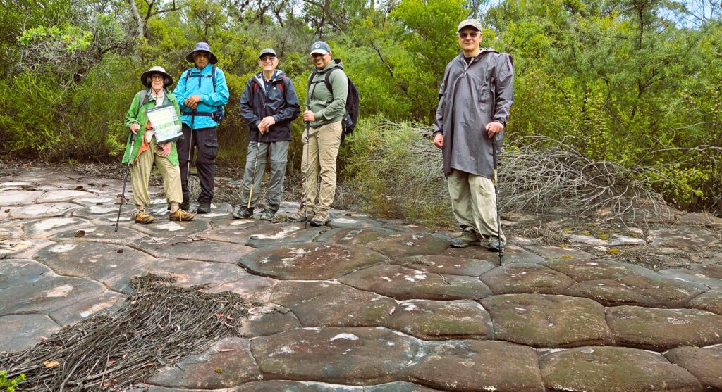
On Tessellated Pavement for a reprieve on the bush bash
Some more easy rock as we escape the bush bash for a moment
Group with the view of Cowan Creek at end of Long Track
The 600m bush bash to find rock shelves and hopefully, Aboriginal engravings. None found.
example of the fun bush bash – photo: Fernando