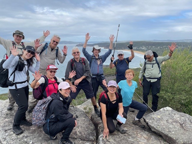
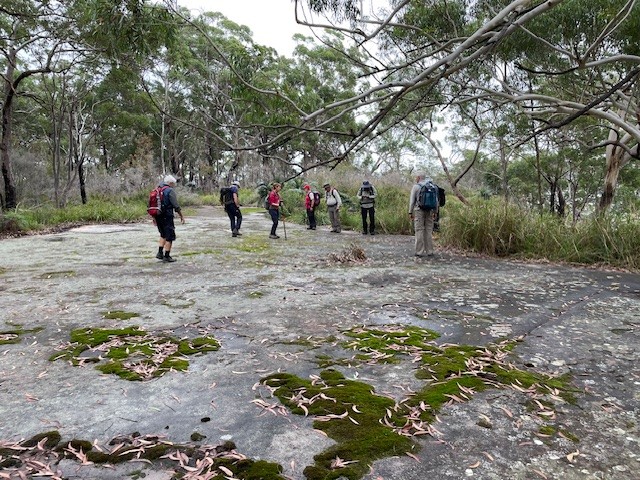
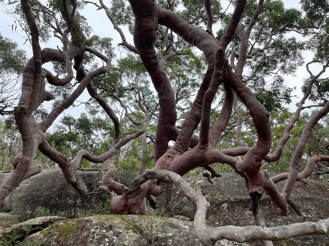
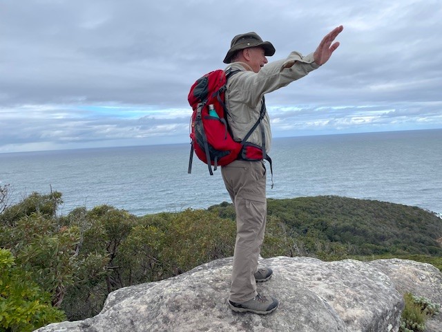
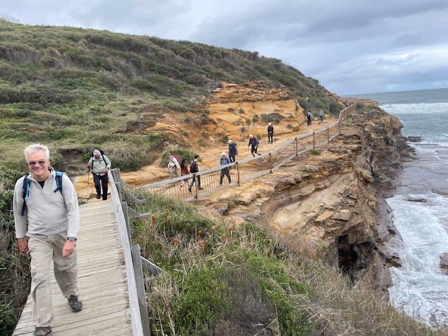
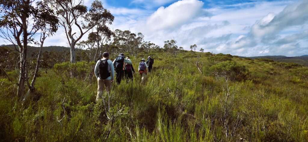
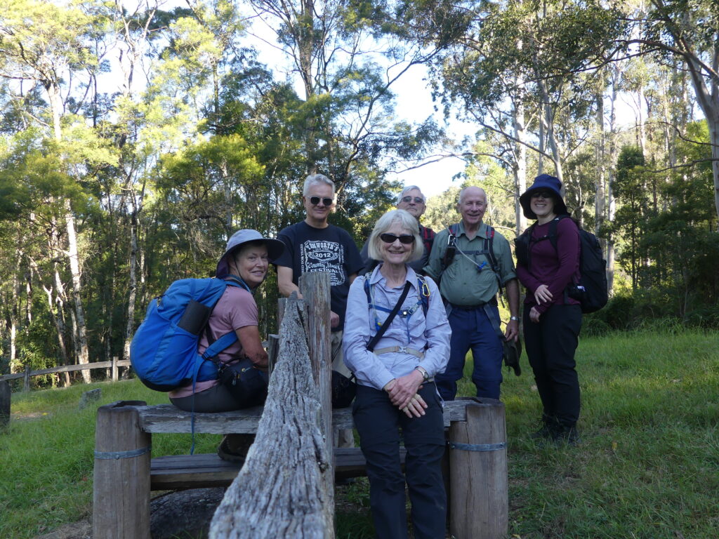
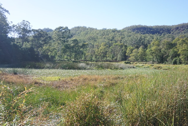
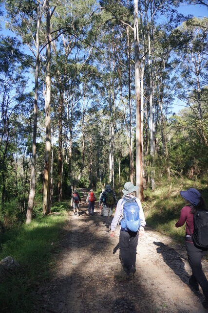
12 walkers stared down the weather forecast to have a mostly dry walk around Daley’s Point and Boudii NP. We saw some Aboriginal Art, many grass trees and angophoras, a huge sea eagle doing laps along the coast, some amazing views to Maitland Bay/ Killcare Beach and out to sea, nudi-branchs on the beach, singing honey-eaters, ringing bell birds, baby butcher birds… and yes leeches. Morning tea with a view inland over Brisbane Water was followed by Lunch at Hardy’s Bay. The day finished with a couple of big hills which tested Julie’s new heart rate monitor (174bpm) and every-one’s wet weather gear. We finished at Ettalong Diggers in good spirits and where the last stealthy hitchhikers were removed from legs, shoes and socks.
Well, what can I say? The weather was fabulous, the views were stunning, the company was good, we escaped the rain in Sydney.
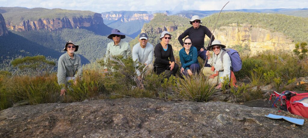
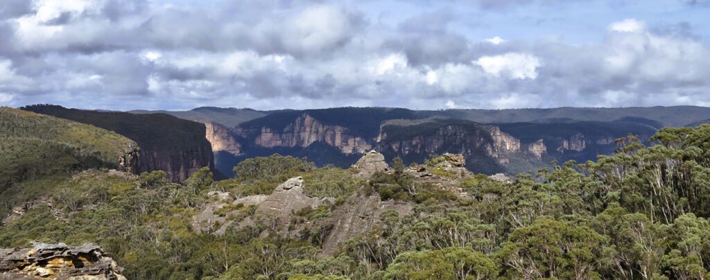
Wilkinson Hill was first. The track out was fire trail at first then bush track, then possibly guesswork as far as where the track was. However, we easily arrived at our destination, at the cliff edge overlooking the Grose Valley. We could see several places the club has been before, Ikara Head, Valhalla Head, Thor Head, the way into Asgard swamp, the creek we scrambled into to get to all those places. We had morning tea here to enjoy the view, making sure we did not get too close to the edge with its vertical fall of at least 100 metres.
After morning tea, we retraced our steps until we came to the turnoff to Jinki Ridge. This track was much more distinct, possibly because it’s the exit from Dalpura Canyon. We proceeded quite well along here until we came to a place where the head of a creek needed to be crossed onto another part of the ridge. The group judged this to be too difficult, as the rocky slope was wet and slippery after recent rain, so the decision was made to have lunch on top of a pagoda and enjoy the view.
After lunch there was some more scouting around, first of another ridgeline of pagodas and then of a possible way to get around the slippery slope. This walk was exploratory, so this route will be left to be investigated on another occasion. Despite the fact that we fell short of our planned objective for this part of the walk, the area we traversed was beautiful, with small pagodas and meadows of low vegetation. Drinks were at the Blue Mountains Botanic Gardens café.
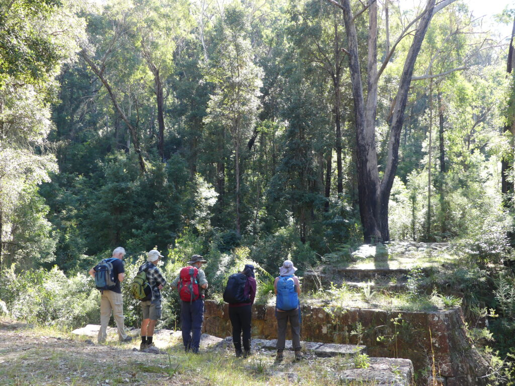
Walkers, Wilkinson Hill – view to Dalpura, Thor & Valhalla HeadsLooking at the elusive end of Jinki Ridge with pagodas in the foregroundReturning from Jinki Ridge
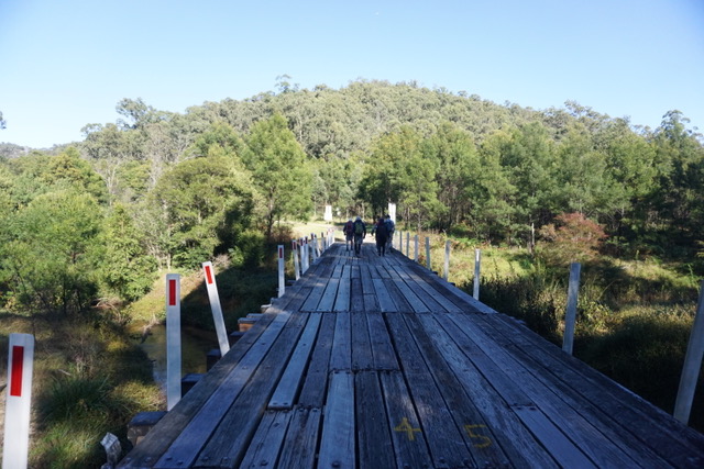
A bright sunny morning but with a touch of winter chill saw 7 walkers gather at Mangrove Mountain to tackle a walk which, at 25 klms, is much longer than our usual walks. After driving as far down Dubbo Gully Rd as possible ( a locked gate preventing further progress), we set off downhill on good fire trail. After 2 klm, we took the left fork at the Y junction and crossed a long bridge over Mangrove Creek.
Bridge over Mangrove Creek
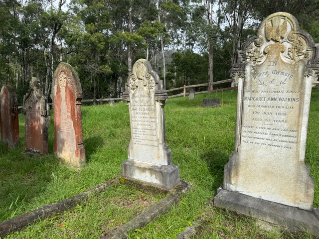
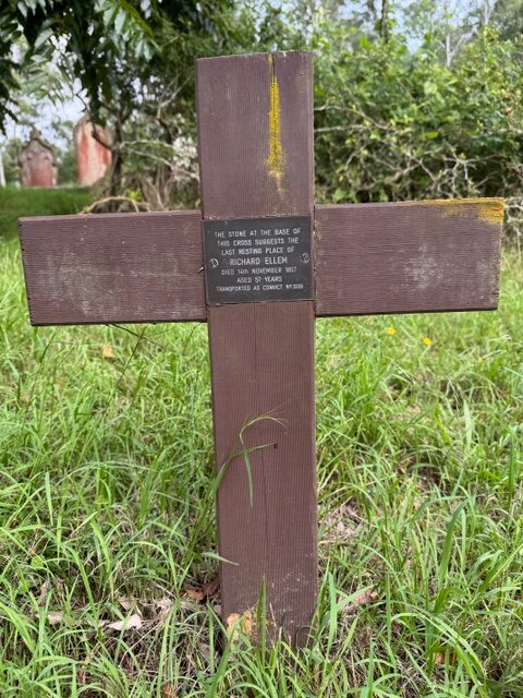
At the 4klm mark, we stopped to explore the historic cemetery, finding graves dating back to the 1850’s, including one for a former convict.
Cemetery
Oldest marked grave in the cemetery
Group photo on the stile entrance to the cemetery
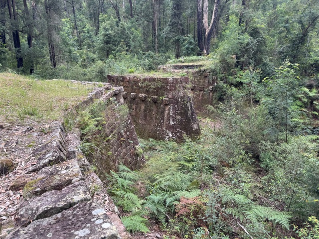
A short time later, another Y junction marked the started of the Dubbo Gully Loop. We took the left hand track, doing the loop clockwise. The trail loosely follows Mangrove Creek and has remnants of historic embankments and culverts visible at the side. We paused here for morning tea, above the creek.
After passing through a low, swampy area, the track started to climb gradually, but it was a sustained incline.
Swampy area where Purple Swamphens were spotted.
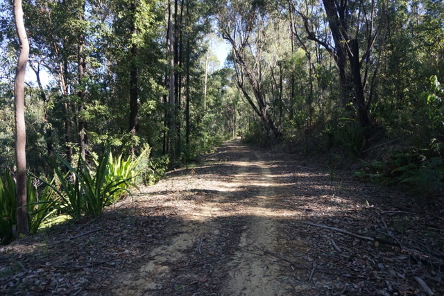
Firetrail
Forest we passed through
Just after the half way mark, we encountered the Ten Mile Hollow camp ground, equipped with a toilet, table and bench seats and fire pits. Turning right onto the Old Great North Rd, it was about 1 klm to reach Clares Bridge, constructed in 1830 and named for the overseer of construction. There is no decking on the bridge, but the support structures are impressive and made a good spot for lunch.
Old Great North Road
Clares Bridge
Clares Bridge
After lunch, there was a little more uphill and then started downhill, which was a little steeper than the long ascent. We stopped to admire a good view looking down on our earlier pathway. A lyrebird was spotted on the way, a nice surprise after hearing (but not seeing)several earlier in the day among a lot of other birdsong. We had also seen Purple Swamp-hens and a brown cuckoo dove.
Having completed the loop, we retraced our steps back to the cars, a very welcome sight for some of us. It had been a long walk, but with excellent weather and good spirits maintained, the walk was completed in good time. Drinks at the Mangrove Mountain Memorial Club were appreciated.
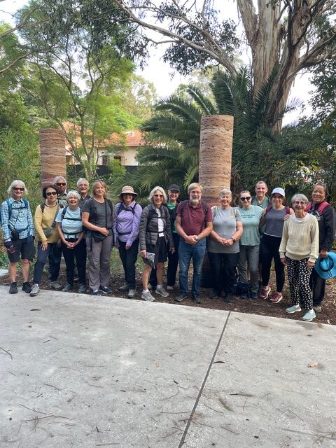
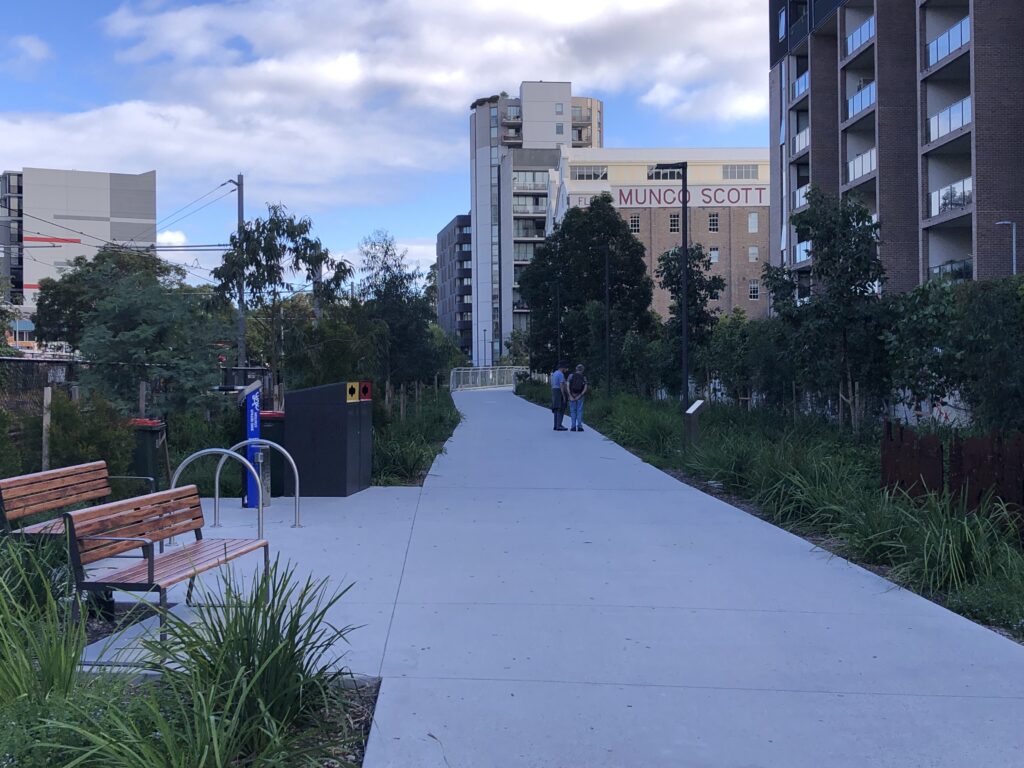
16 walkers met at Hawthorne light rail station for the start of our walk. The Greenway is a mixed cycle and walkway in the inner west. For a Saturday morning it was not as busy as feared
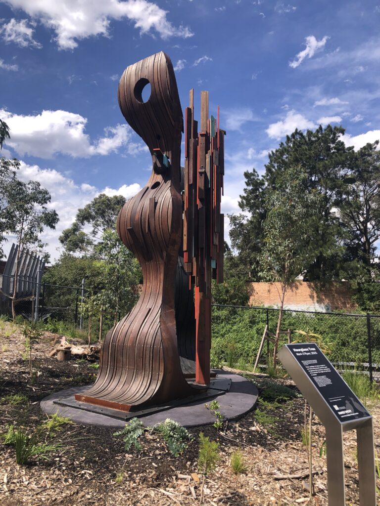
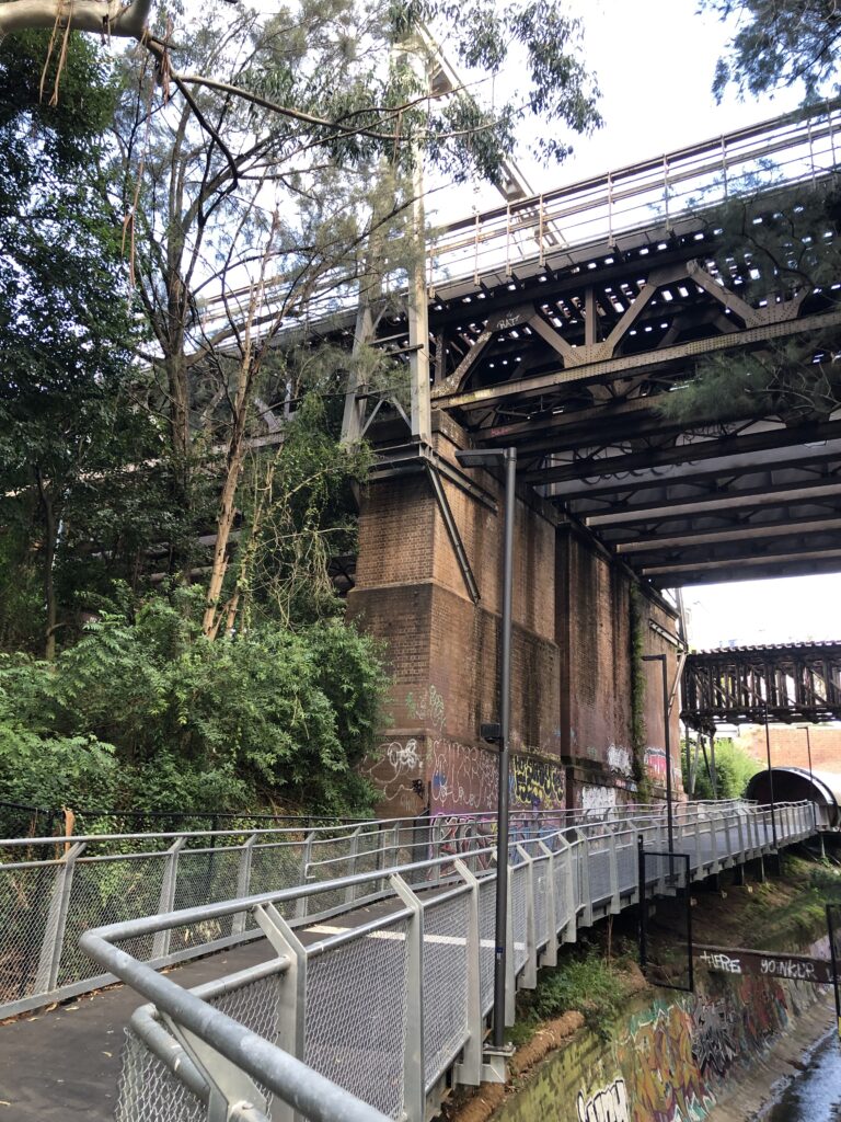
As the walk along the Greenway is only short we had ample time to stop and admire the commissioned art installations, parks, industrial heritage, tunnels and bridges.
Arriving at Cooks River we ran into a Coffee cart- long awaited by some. Morning tea was had in a picnic shelter and then we retraced our steps back to the Dulwich Hill light rail back to Hawthorne
Most of us elected to walk further north along the canal to the Bay Run where we had lunch
By the time we returned to Hawthorne we had clocked up about 11kms