Category Last Walk Report

Blue Mountains NP: Winmalee, Shaw’s Ridge, Grose Head, Blue Gum Swamp

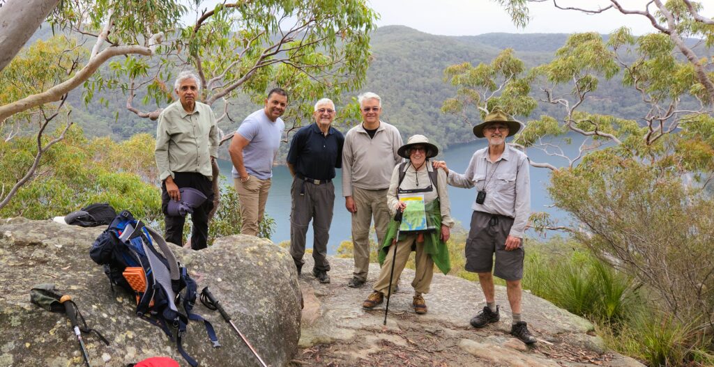
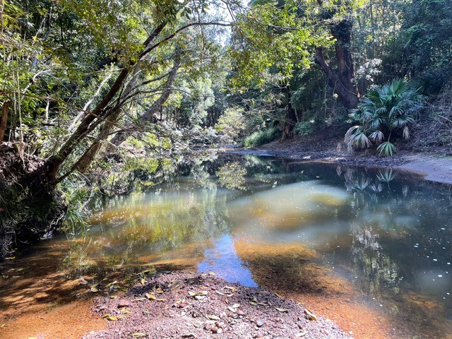
After a week of glorious late winter weather it was somewhat disappointing that Saturday dawned grey and overcast (just as forecast!).

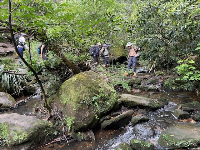
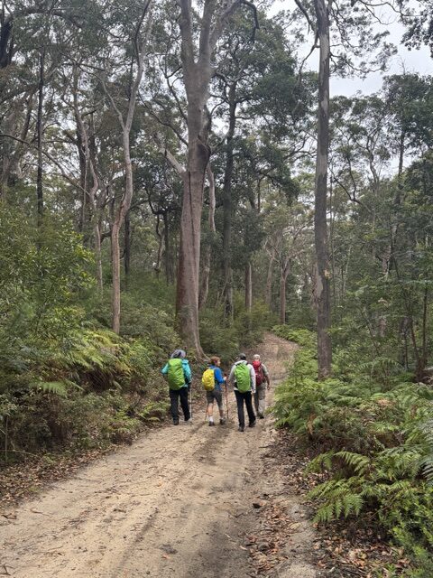
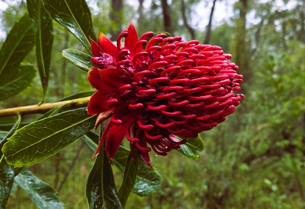
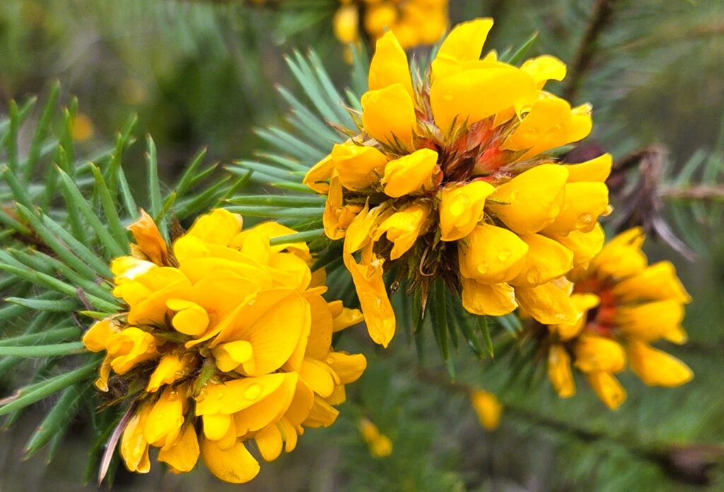
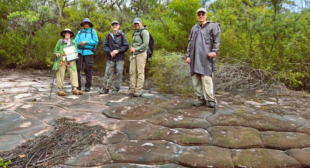
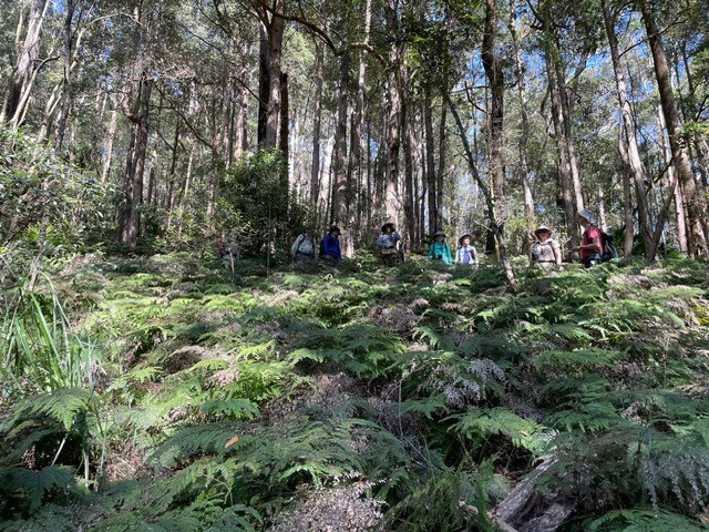
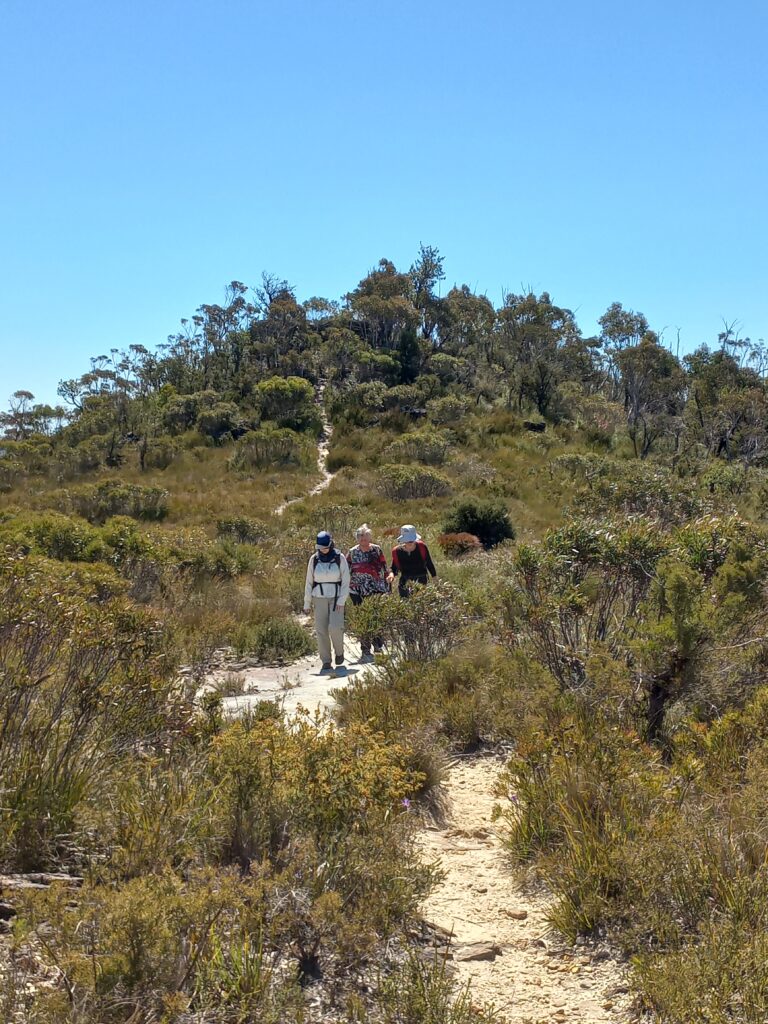
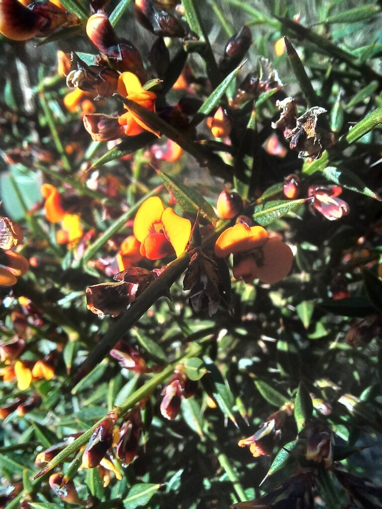
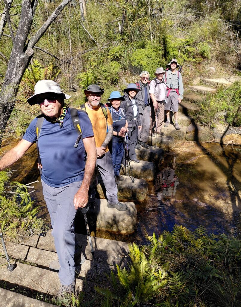
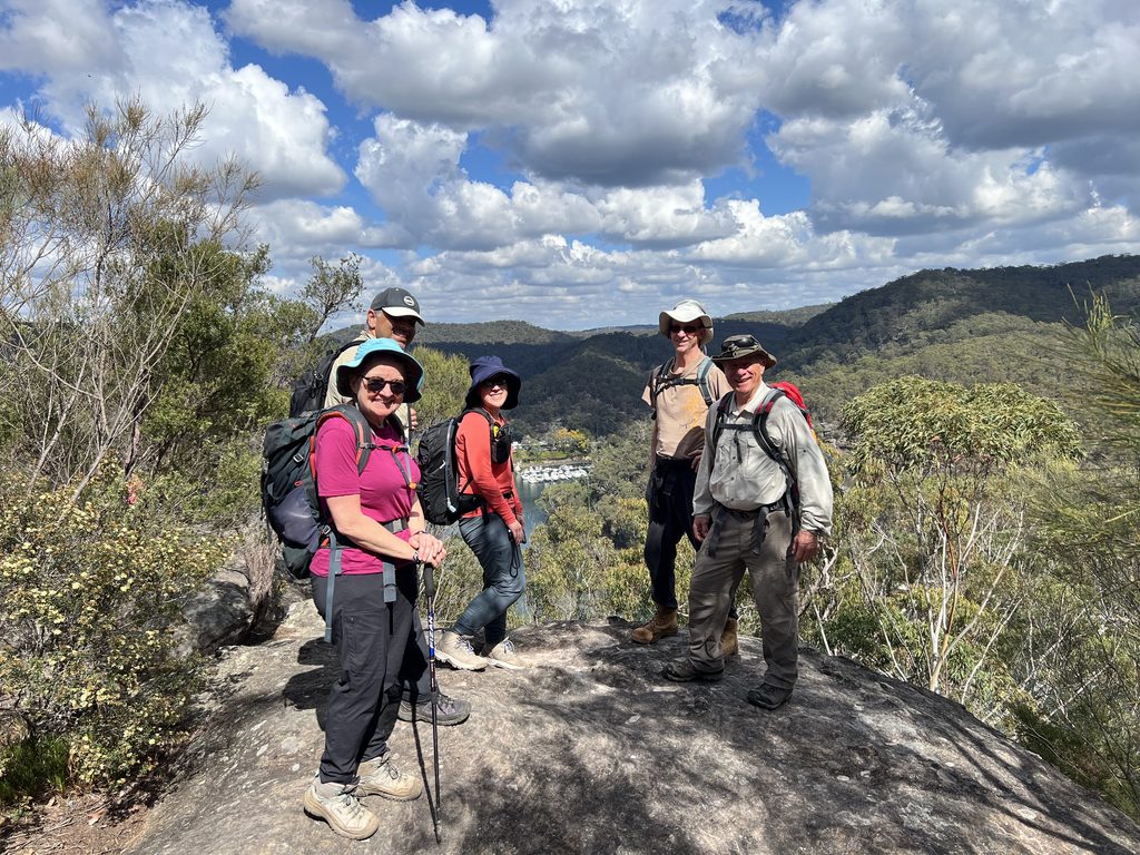
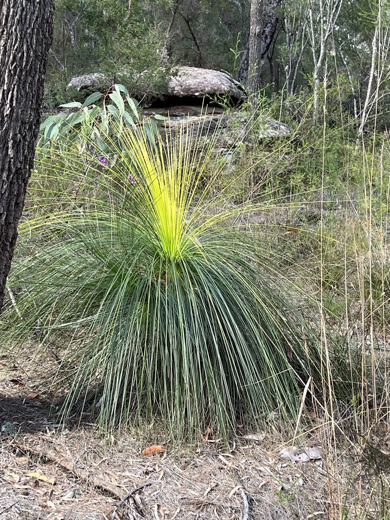
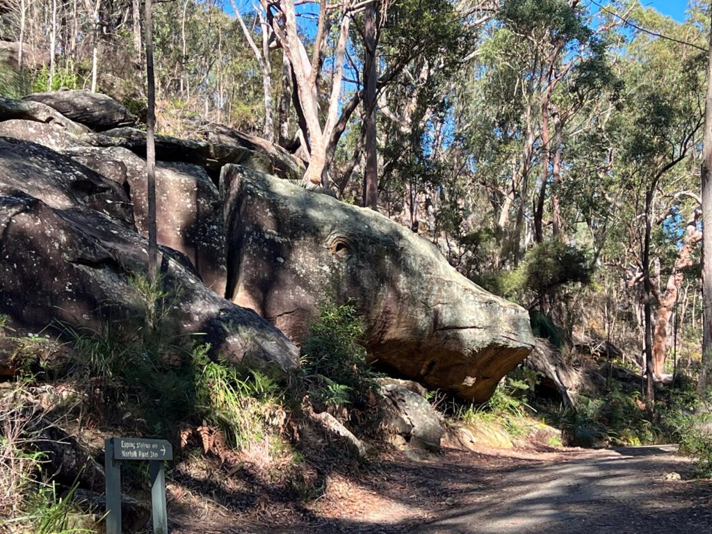
But 7 determined walkers gathered at the end of White Cross Rd Winmalee and optimistically set off. Shaw’s Ridge trail was quite busy with local runners/walkers/cyclists but forest very healthy and wildflowers starting to appear.

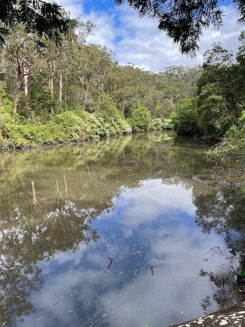
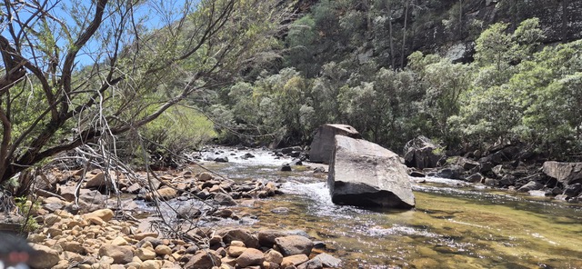
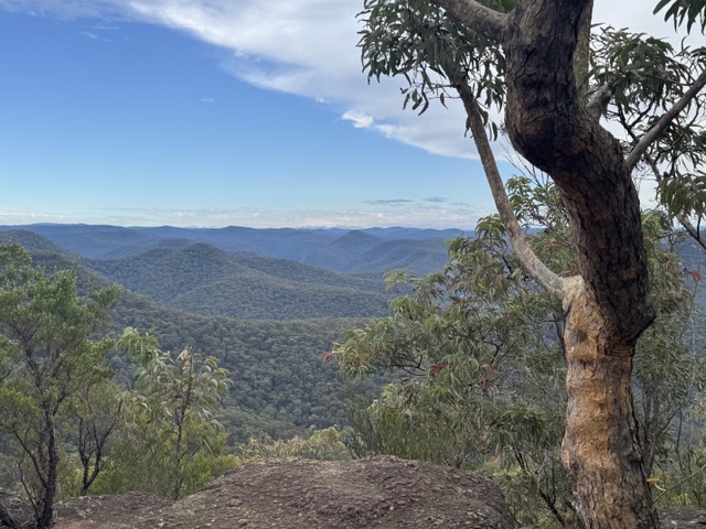
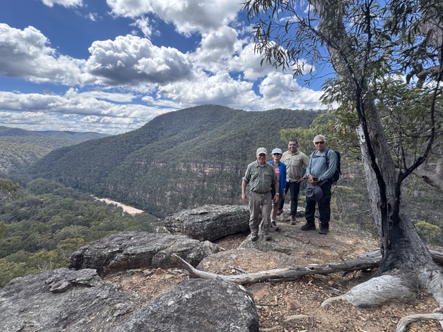
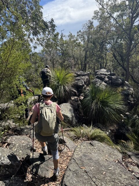
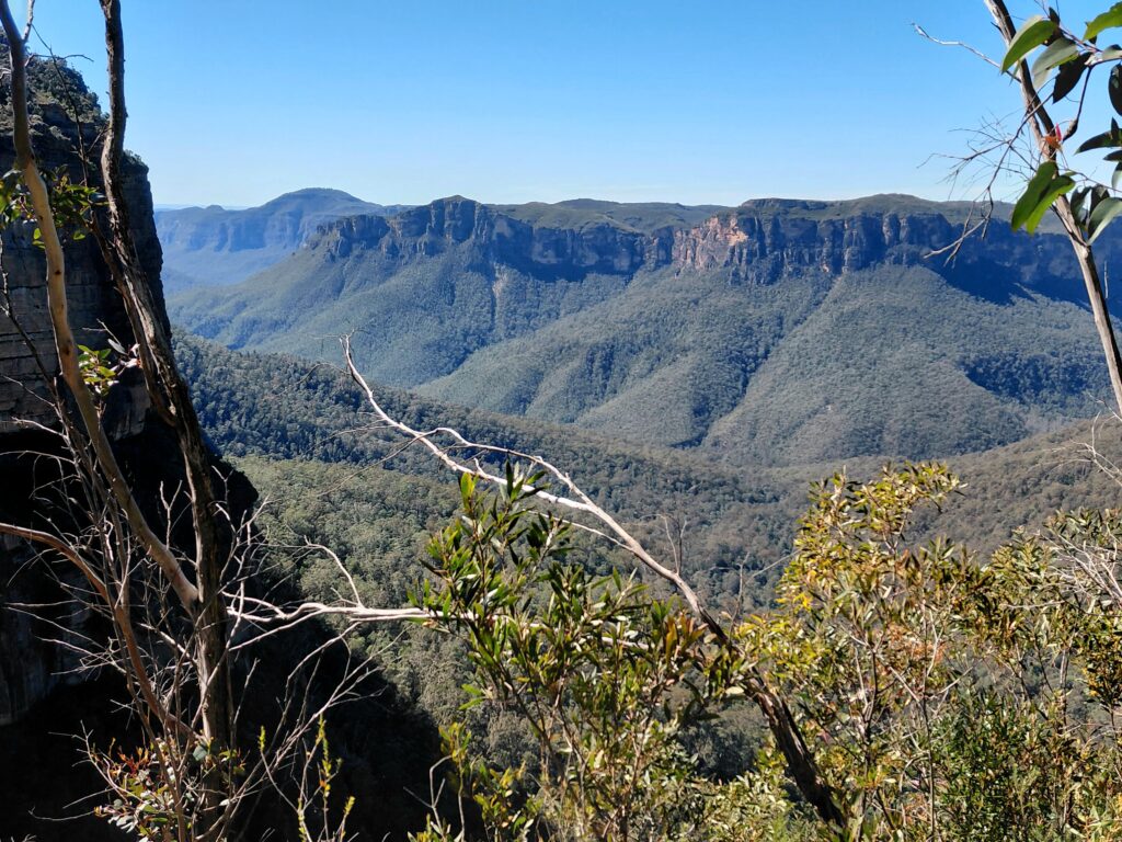
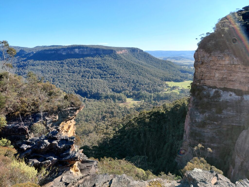
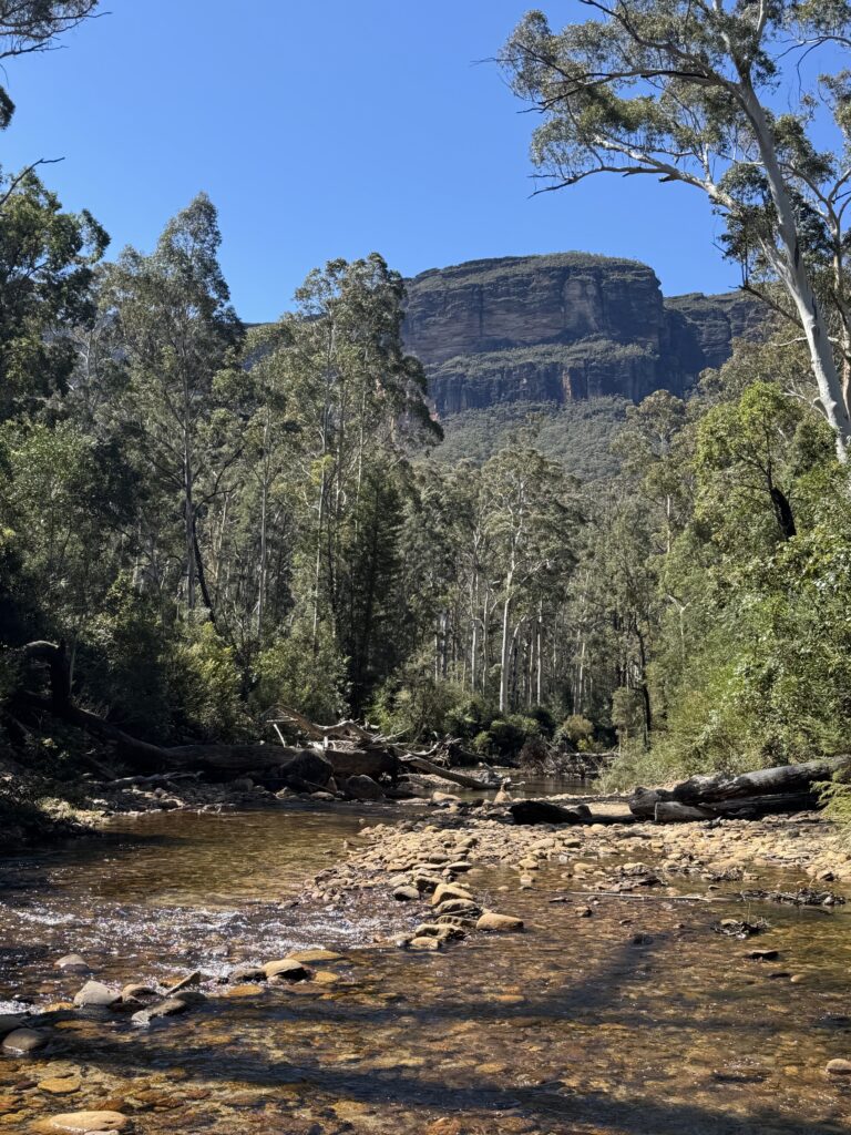
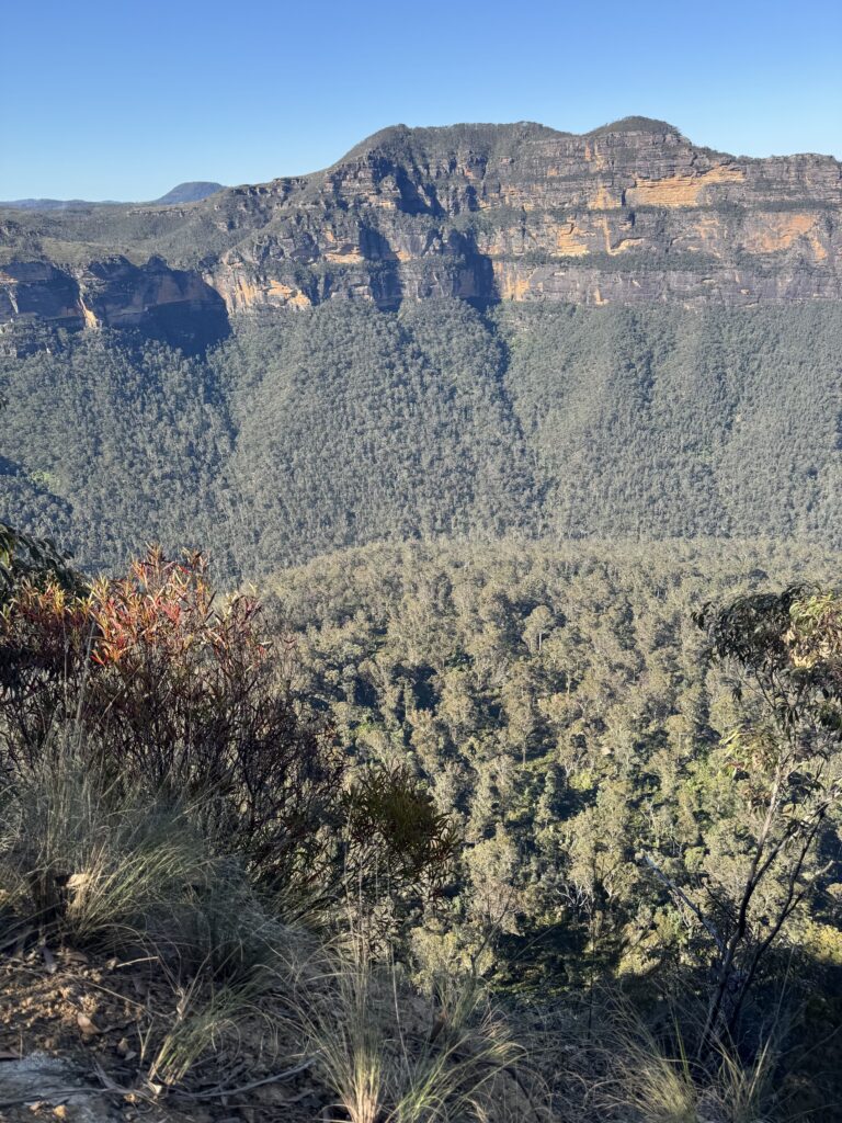
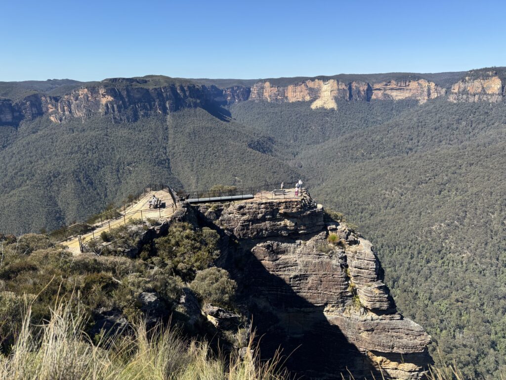
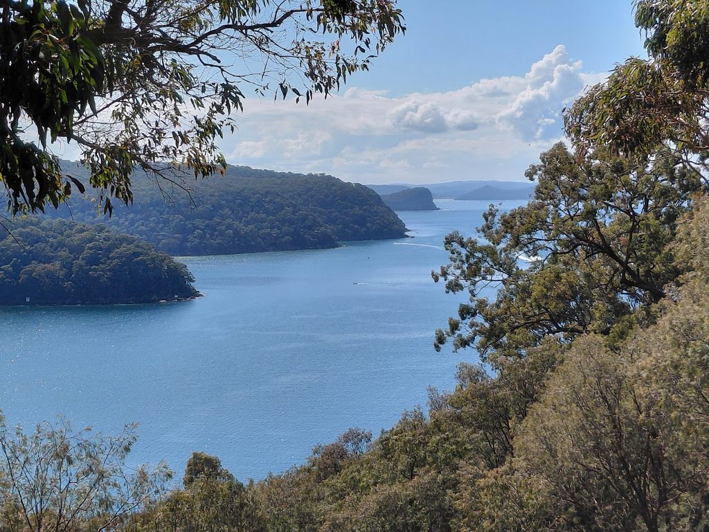
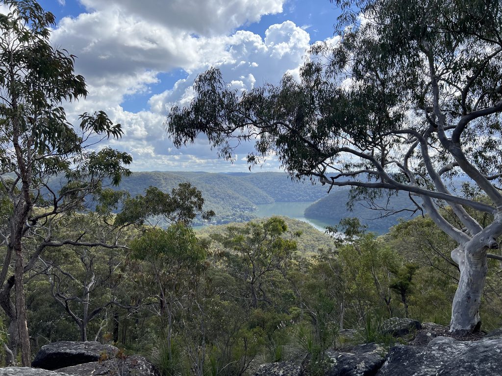
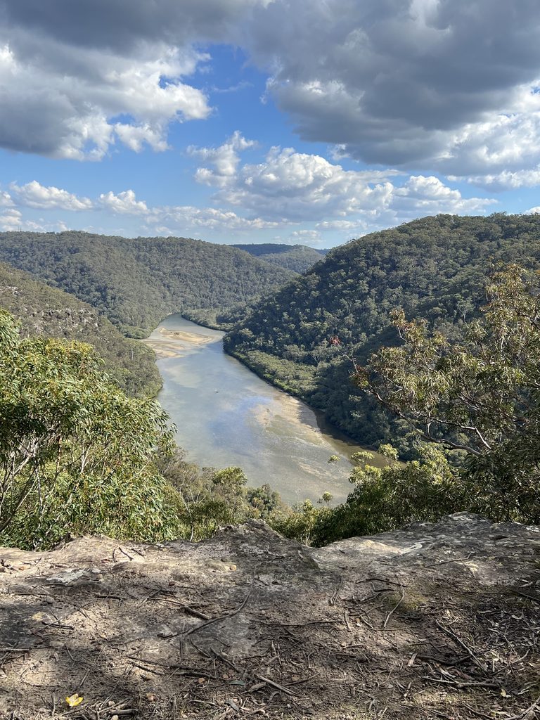
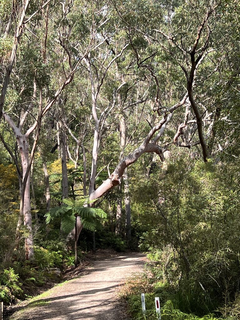
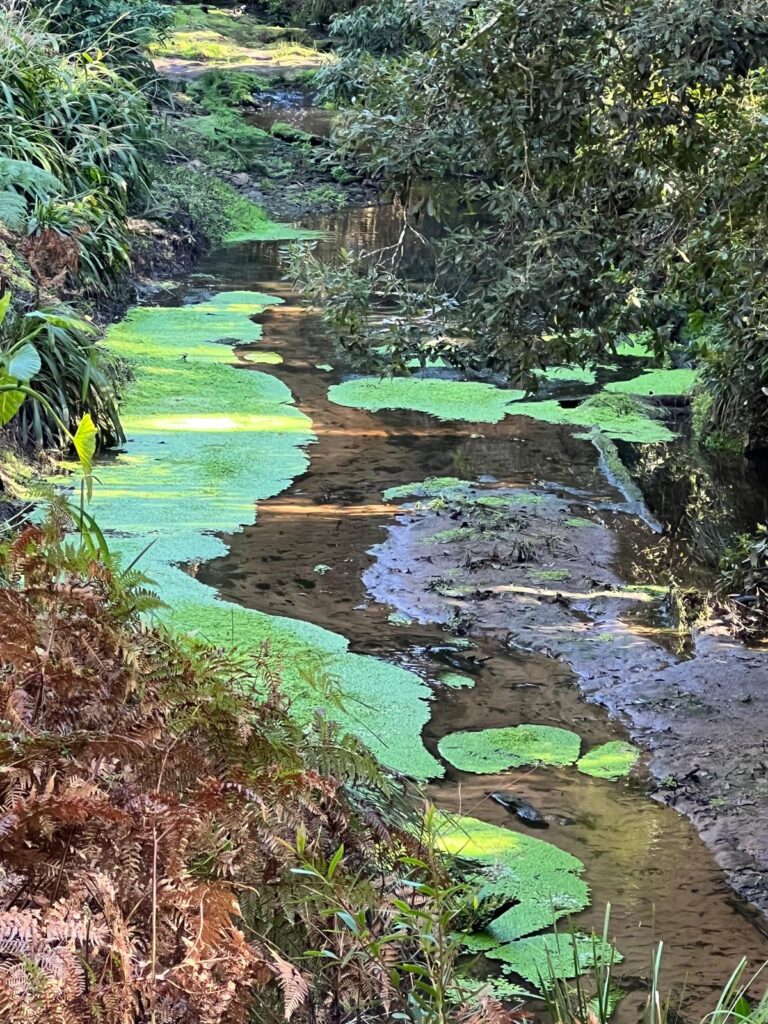
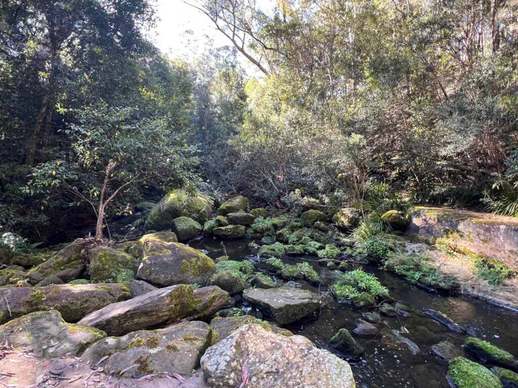
Once down to Blue Gum Swamp Creek, the beautiful eucalypts impressed all. Turning onto Bees Nest Hill Trail, the pace reduced as the slope increased! Turning right onto Springwood Ridge Trail we were soon at Grose Head South Lookout for morning tea with great views over the river valley below.

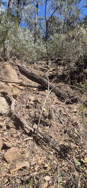
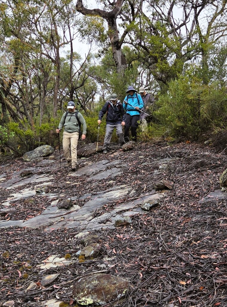
All opted to continue on to Grose Head South trig point. This is a short but challenging clamber in both directions. One walker decided part way was enough, others all persisted. There is a walkers’ log book in a plastic container there, but as it was totally saturated we couldn’t add a record of our visit!

Now to return to the lookout point and the challenging clamber delivered a nasty dive for one of us but thankfully no major drama, just lots of antiseptic and large bandaids!

Not the best lunch location, but as we’d lost some time and it was now an intermittent drizzle, we paused for lunch at the intersection of Springwood Ridge Trail and Bees Nest Hill Trail then carefully made our way down Bees Nest Hill and turned right onto Blue Gum Swamp Trail. This section of the walk is beautiful forest and there were many many birds.

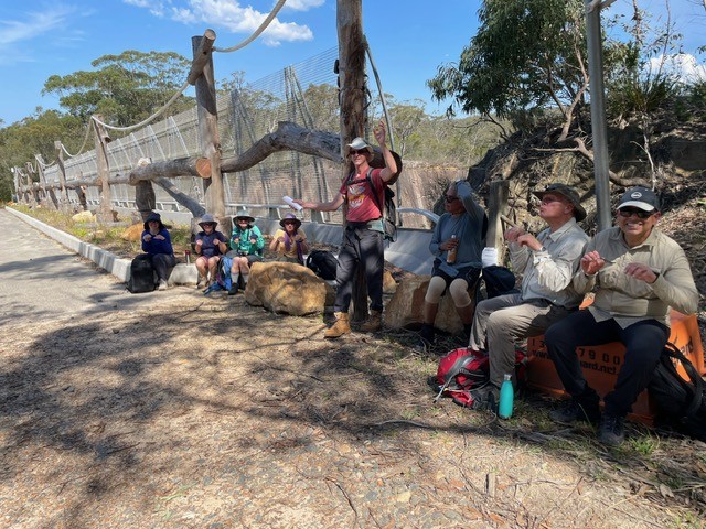
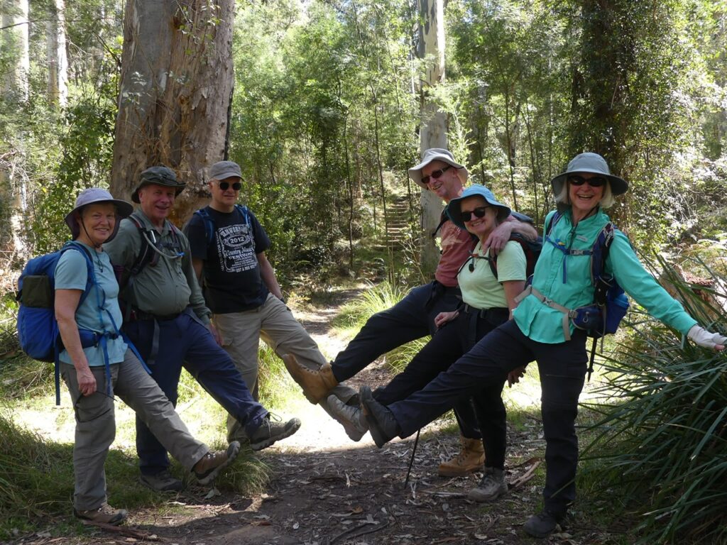
Back at cars at 2.15pm and group decided to grace the Lapstone Inn with our presence. Group remarked it was an interesting combination: 3 women, 4 men. And drink selections were 6 coffees to 1 Guinness (for the injured party)! Spot beside the fire was very pleasant. Thanks to all for stepping up to the challenges that the day presented. Val and David

# 75 North Narrabeen to Manly

Even as a bushwalking club, it’s nice to occasionally take a break from the bush and head to the coast for a refreshing change. We couldn’t have asked for a better day, with perfect, warm weather providing ideal conditions for our coastal adventure.

We began the walk on the beach near North Narrabeen SLSC, where we were fortunate to find a stretch of firm sand near the outgoing tide. We followed the beach for approximately 3.8 km until reaching Collaroy. There were major works happening here including reconstructing 70 metres of damaged seawall, upgrading stormwater drainage and rebuilding beach access stairs.

Works at Collaroy Beach
Dee Why Lagoon open to the ocean

We then joined the Dee Why to Curl Curl coastal walk. The weathered and rocky track slowed our progress a little over approximately 1.5 km, but the section offered some marvellous coastal lookouts along the way.

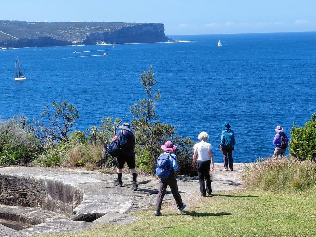
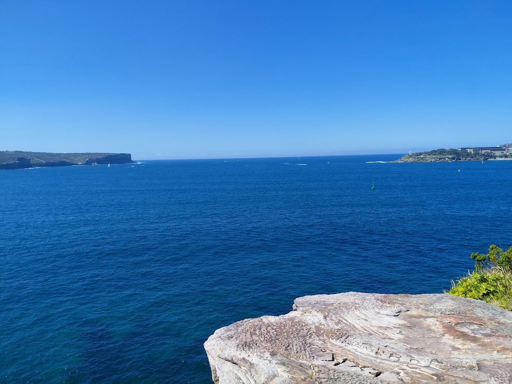
A previously undiscovered exit, at least by the leader, took us out to the aptly named ‘Don’t Jump Rock’, where we stopped for lunch and enjoyed the views. In bushwalking, this is known as either excellent route-finding or getting lucky. It certainly appeared to live up to its rather dramatic name!

Looking towards Long Reef Headland

From Collaroy, we made our way up to Long Reef Headland for morning tea, enjoying sweeping views both up and down the coastline. There were plenty of fishermen out on the water, as well as several anglers making use of the rocks below the headland.

After morning tea, we continued past the stunning Long Reef Golf Course and down onto Long Reef Beach. Here we received an unexpected surprise – Dee Why Lagoon was open!

Fortunately, the tide was going out, so we took advantage of the opportunity to remove our shoes and socks and wade across.

Naturally, once we had gone that far, someone decided walking barefoot was now a perfectly legitimate hiking technique so we continued barefoot along Dee Why Beach until reaching the Dee Why Concourse, where footwear was put firmly back on.

Dont Jump Rock / Suicide rock?

At North Curl Curl 2 walkers took their pre-arranged exit, demonstrating the highly advanced bushwalking skill of knowing when to leave before the leader finds another obstacle, while the remainder of the group continued along the full length of Curl Curl Beach. We then followed the boardwalk around the Freshwater/Harbord Headland before enjoying more sand walking along Freshwater Beach.

The final challenge was a steep climb over Queenscliff, followed by the descent to the Manly Concourse and The Corso, marking the end of our 15.5 km coastal walk. The leader had promised there wouldn’t be much sand walking. In hindsight, this may have been an overly optimistic assessment of the route, as the group did spend a considerable portion of the day becoming very familiar with the beach.

By Manly, the group had well and truly earned a gelato. Unfortunately, half of Sydney appeared to have had exactly the same idea, so we decided to head straight to the bus for the journey back to our cars. Half way into our journey the bus driver gave a standing oration of the reasons behind industrial action being taken by the RTBU in the Northern Beaches and lower North Shore. The union argues that the privatisation of public transport networks has forced drivers to “do more with less” to protect corporate profits at the expense of employee welfare. He did seem very frustrated and we gave him a hearty applause.

The day was then rounded off with drinks and a relaxing catch-up at the Narrabeen Sands Hotel – the traditional and scientifically proven treatment for 15+ km of walking.

Overall, it was an enjoyable and varied coastal walk, combining beaches, headlands, rocky tracks, lookouts and a few unexpected adventures along the way. The excellent weather and good company made it a particularly enjoyable day out.

Walkers: Wendy LR, Loic, Jas, Pauline, Pragati, Fernando, Effie, Chris, Iren, David and Val. Distance: 15.5 km. Walking time: 4 hours 40 minutes. Total time: 5 hours 30 minutes.

072 Middle Harbour Wander

Early morning showers did not deter 20 walkers who set off under cool and cloudy conditions. We were pleased that despite some threats, further showers held off until after the walk was completed. Entering Explosives Reserve, the track took us on a couple of loops through healthy bushland, with Scribbly gums, Casuarinas and a variety of early wildflowers showing their faces. Exiting the reserve in Camerary Rd, a short road walk took us ot HC Press Park and along the edge of Sugarloaf Bay. All walkers took the detour up to Wilkins castle which generated discussion of how much it would cost to buy and why anyone would build a castle.

Casuarina after rain
Scott’s Creek mangroves

Returning to the track, we made our way along the North Arm Walking Track, with many forms lining the track, and morning tea along the way. The track crossed Scott’s Creek and followed the creek along before some steep steps took us up to the road. A few leeches were encountered and dealt with.

Epacris longiflora
Acacia floribunda (?)
Crossing Scott’s Creek
Reflections in Scott’s Creek

Another short road walk took us up to the Harold Reid Foreshore Track, around the base often Sugarloaf and then up to Harold Reid Reserve lookout for lunch with a view. completing the loop on top of the Sugarloaf, we returned to the start of the Harold Reid Foreshore Track and retraced out steps over Scott’s Creek, taking the paved trail back to Deepwater Rd adn then street walked back to the cars.

Drinks were enjoyed at the Castlecove Golf Club where the locals were friendly to the point of encouraging us to join their club, claiming that gold was “just like bushwalking, only with more swearing!”

Well done all!

Acacia longifolia
Woolsia pungens
North Arm Walking Track
Pheballium squamulosum
Lasiopetalum ferrugenium
Grevillea linearifolia

#82 Palm Jungle Loop Track including Figure 8 pools. 

By Jas Gill / Last Walk Report

We had 16 walkers turn up for a great walk, meeting at Garrawarra Farm Car Park. 

It was a great Winter morning, starting exactly on time. The walk started as normal with bushrocks and platforms making the walk alot more enjoyable. 

We made our way down to the Burning Palms beach, at the end of the beach, some of the walkers continued to the Figure 8 Pools. Whilst other walkers awaited our return. The walkers that remained had an early and longer morning tea. 

In the end 7 of us, made it to the Figure 8 pools, the swell was well and truly up — big sets were exploding over the platform near Figure 8 Pools, throwing spray metres into the air, so the pools themselves were putting on more of a show than a swim-through today. 

We rejoined the coast track by going up Robin Rill, and made our way up the many many steps. 

We pushed on south to Werrong Lookout for an early lunch, perched with sweeping views back up the coastline.  two of the walkers claimed a rock ledge with legs dangling over the edge and simply sat with it for a while. Whales had been flagged as a possibility for the day with no fins or blows to report. 

From Werrong we picked up the fire trail for the return leg back to Garrawarra Farm, a gentler, more sociable stretch after the morning’s scrambling. 

Day ended with a well-earned drink at the Heathcote Hotel. 

Thanks all for a great day

071 Golden Stairs Ruined Castle Furber Steps

For the four (4) walkers, they day started with some concern that we would only see a blanket of white fog for the day. We shouldn’t have worried, as the sky started to open and the views appeared before us.
We started our day walking along Narrow Neck to the top of the Golden Stairs and along the way we saw a lot of bird life. This was the story for the first part of the day – from Lyrebirds through to LBB’s (little brown birds).

We arrived at Ruined Castle in time for morning tea with a view as the fog started to lift and saw glimpses of the end of Narrow Neck and Mt Solitary. Our merry band then started to climb down to the main track. The walk back to the bottom of the Golden Stairs entailed dodging lots of walkers going the other way and skipping over the muddy track.

The track after the Golden Stair turn-off and through to the Scenic Railway was a path less well used. By this time the fog was gone, fewer walkers, the sky a brilliant blue and lovely views appearing in the openings of vegetation. We lunched near the land slip and had great views up the Kadumba Valley, the Three Sisters and Mt Solitary.

Our day finished climbing up the Furber Steps and visiting every lookout on the way to the top. The day finished at the Scenic Railway café with a beverage, several satisfied laughs and a great view.

After a solid day’s walk, I thank our small but merry band for the wonderful company, views, laughs, birdlife, and satisfying weariness.
Walking through the mist to Ruined Castle
Waterfall next to Furber Steps
Narrow Neck and Ruined Castle from the Landslide
Three Sisters viewed from the base of the Golden Stairs

Centennial Park Loop Walk

Ten walkers met up near Central to take a bus to the Randwick main gates of Centennial Park, where we picked up our eleventh member.
The plan was to walk the main inner loop of the park, and then take a more ad hoc perimeter loop in the reverse direction. The inner loop was heaving with runners, walkers, dogs, bikes and at least one horse. By Busby’s Pond, we moved in to the pond, where we started to see lots of birds and it was much quieter. We mostly stayed inward from the main loop from there. The views were better, too.

We had a pause while we reported an injured goose to rangers, and then tracked around the ponds. The ranger later caught up with us to let us know WIRES had taken the goose into care, and also to tell us we were walking too fast lol.

Taking the reverse direction, as close to the perimeter as possible, gave a quieter experience, with some beautiful old trees. Despite the heavy use, there are some beautiful views through different areas of the park. We had lunch back at the cafe and Fearnley Grounds picnic area.

We finished by walking around the Kensington Pond to the bus stop. We saw quite a few birds around the water: Eurasian coot. purple swamphen, whitefaced heron, Pacific Black duck, black swan (nesting) crested pigeon, dusky moorhen, pied cormorant willy wagtail, bin chickens and a very big gaggle of domestic geese.

041 Resolute Beach Track

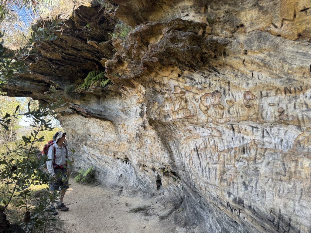
The day statrted in thick fog which made for an exciting drive to West Head dodging barely visible cyclists. The fog created an atmospheric start to the walk past Aboriginal engravings and a magnificent cave overhang. 

The track to Mackeral was rough as expected but fortunately had been recently cleared by NPWS making it much safer

The sun was out  by the time we arrived at Mackeral Beach. We had the perfect spot for morning tea – a view to die for , warm sun and even comfy chairs to sit in. 

On the way to West Head we diverted to West Head Beach with amazing views to Barrenjoey

Returning to the Resolute Picnic area for a pit stop and then out to Koolewong Lookout for lunch

A real Goldilocks day. Even so most of us felt that we had done a walk.

Misty morning on the Resolute Beach track
Morning tea at Great Mackerel Beach. If you need a public phone box, you know where to go!
View from West Head Beach
Boronia ledifolia
Conospermum
Hakea in the morning mist.

063 Brisbane Water NP: GNW Girrakool Picnic Area to Reservoir Road, Somersby

This walk includes some of the best parts of the Great North Walk. We descended into deep creeks, walked beside healthy mangroves and salt marsh, spotted a huge variety of fungi and enjoyed lush glades of ferns. There were waterfalls, lookouts, rushing streams (more on that later), a dam and highways to pass over and under.

Fresh walkers at the start – Girrakool Picnic Area
Piles Creek East track now joins the Great North Walk

We (19 walkers) started with a car shuffle from Reserve Rd to Girrakool. Once walking, we descended steeply into Piles Creek until it met Mooney Mooney Creek. Along the way, we stopped at the suspension bridge over Piles Creek for morning tea. This was free of leeches, but that soon changed, with increasing numbers trying to hitch a ride. The walk along Mooney Mooney Creek passed through some beautiful bush

Crossing the suspension bridge over Piles Creek
Easy fire trail after crossing the Old Pacific Hwy

We stopped for lunch on some leech-free rocks at the point where we had to cross Mooney Mooney Creek.

Crossing Mooney Mooney Creek after lunch

There was no helpful suspension bridge in sight, and the creek was flowing quite fast. The track could be seen continuing on the other side, but how to get there? Peter scouted out several routes across, but finally it was decided that the best route involved crossing a short fast-flowing bit with the aid of the trusty yellow tape. Dave provided the main anchor, with Peter assisting walkers to get down the slippery first part into the water and get hold of the tape. Gradually most of the group crossed here, with a few deciding one of Peter’s other routes was viable. Once across with the tape, there were still some other tricky slippery bits to negotiate. Everyone worked together, until all were safely (and maybe slightly damply) across. This was a great team effort in true Up and Downer style and especially so, as for some walkers this was their first experience of crossing a creek in this way.

It was a good idea bringing my safety tape (Peter). Lucky we had a small but tough bush to tie onto.
The exposed rock was very slippery but not so bad in the knee deep, fast flowing water.

After the creek crossing, the track wound steadily upwards, past Lower Mooney Mooney Creek Dam. There were more spectacular ferns and interesting fungi until we walked out to the water tanks on Reserve Rd.

Turkey tail mushroom
Coral fungi
Nodding Greenhood – Orchid
Red Spider Flower

The car shuffle was undone, and drinks (and crisps) were enjoyed at the Mount Penang Gardens before heading home. Thanks to all walkers for an enjoyable day on the track with great teamwork and good company.

More Photos: Contributed by: Ray, Annmarie, Helen, Hazel and Peter:
https://photos.app.goo.gl/kyJcPLe3LR3LcgoQ8

MAPS – click images below to open full maps

Map 1 of 3
Map 2 of 3
Map 3 of 3
Altitude v Distance Profile: Total Distance walked = 14.7km (ignore below water vertical GPS device inaccuracies = Z plane)

047 Blue Mountains NP: Portal Lookout, Glenbrook

Morning tea with 180 degree views
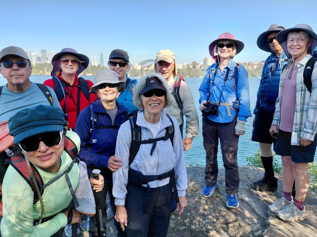
The walking crew
Nepean River from Portal Lookout
There was a male blue wren in this photo 2 seconds ago
Very lovely creekline next to the campground
View to Penrith from Portal Lookout

8 walkers headed out to Portals Lookout from Glenbrook, covering around 15 km in excellent winter conditions. It was a clear, mild day with great visibility, and the track delivered early with expansive views over the Glenbrook rail tunnels and surrounding valley. The lookout provided a good vantage point to reflect on the area’s railway heritage, including early tunnel works that allowed trains negotiate the steep eastern escarpment.

The walk continued with views out toward the Nepean River and plenty of open bush to enjoy along the way. Lunch was taken at Euroka Campground beside a shaded creek, which made for a relaxed and unhurried break. Birdlife added to the day, with blue wrens and rosellas spotted around the campsite and along the track.

The walk included tackling the Lapstone Monocline, a distinctive geological feature where rock layers have been steeply folded, shaping the local terrain and escarpment profile. It was a solid but manageable climb that was rewarded with some amazing views. The group wrapped up with smoothies and coffee at Glenbrook Park, rounding out a very enjoyable day that was appreciated by all. Many thanks Julie and Garry

052 Hen and Chicken Bay – Parramatta River

Eleven walkers met at Abbotsford Wharf on a beautiful clear day. We walked to the old quarantine centre used up until the 1980s, then followed the shoreline around the east side of the bay where we saw a number of wading birds on the tidal flat.

The walk follows the shoreline for quite a way until we hit the golf course where we had morning tea at the entrance. No access is provided through the golf course so we had to cross the road (Path works). At this point, 9 walkers crossed back after the golf course and 2 (including one leader, Effie) proceeded on engaged in conversation.

Eventually all came back together and we headed along the west side of the bay through parks and street walking. We had a leisurely lunch at Cabarita Park and a very short ferry ride back to Abbotsford. Thanks to everyone who participated.