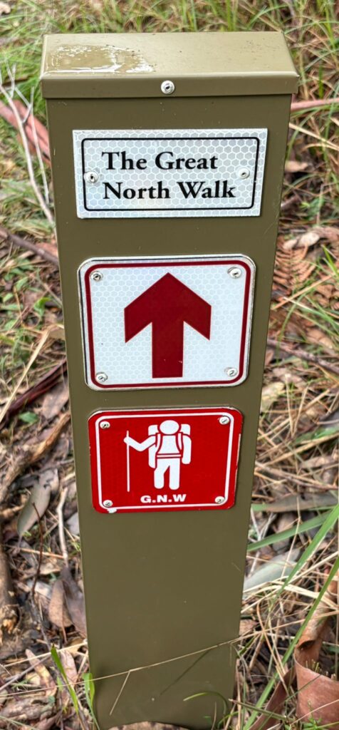
063 Brisbane Water NP: GNW Girrakool Picnic Area to Reservoir Road, Somersby
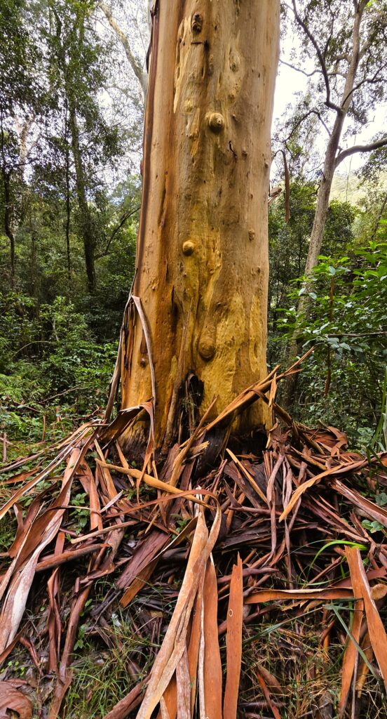
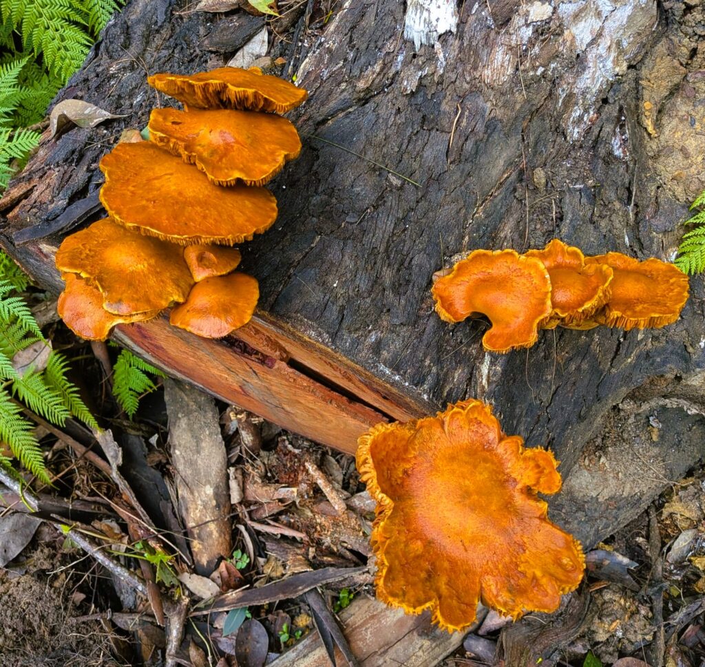
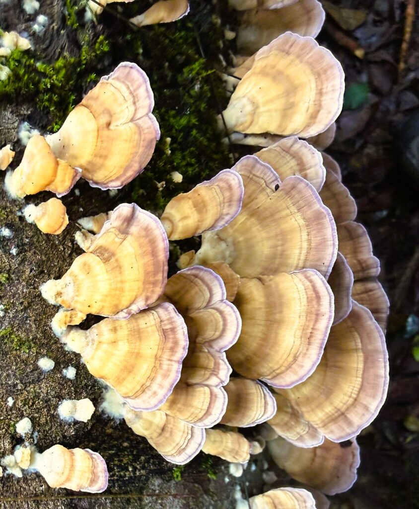
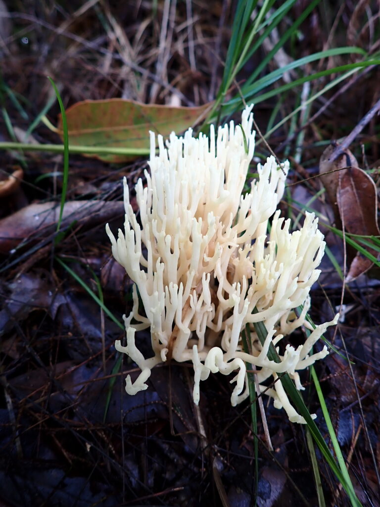
This walk includes some of the best parts of the Great North Walk. We descended into deep creeks, walked beside healthy mangroves and salt marsh, spotted a huge variety of fungi and enjoyed lush glades of ferns. There were waterfalls, lookouts, rushing streams (more on that later), a dam and highways to pass over and under.
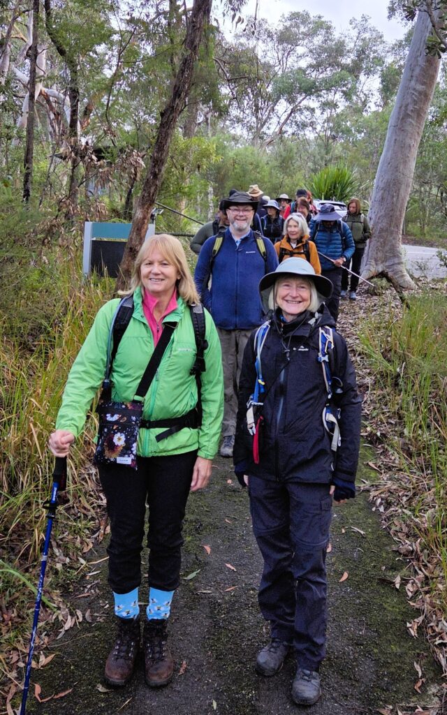
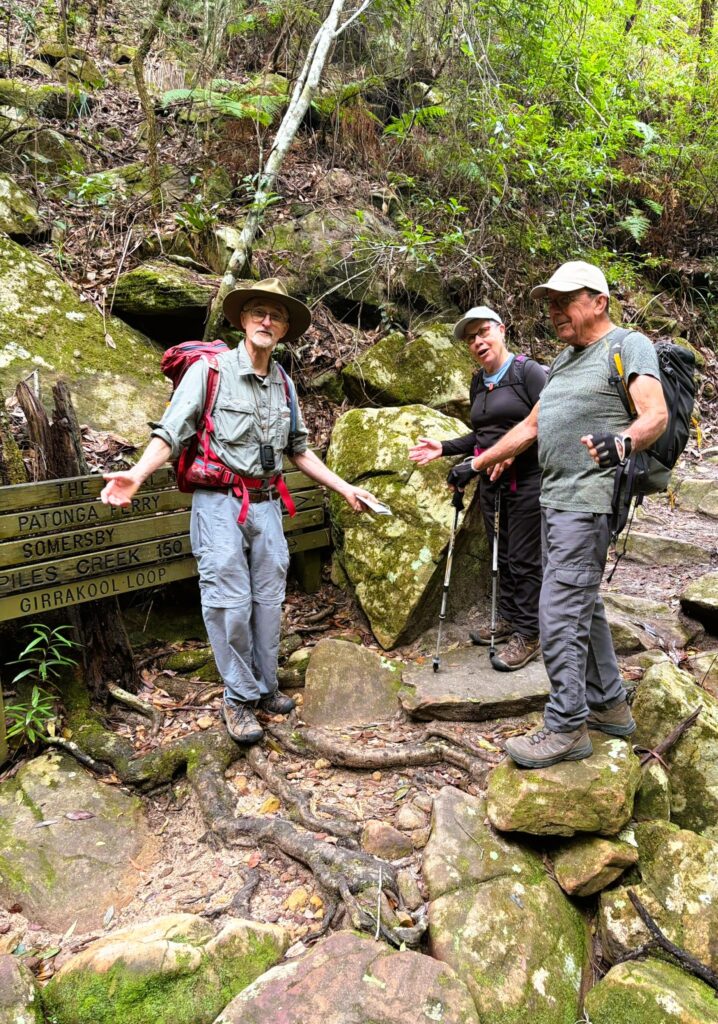
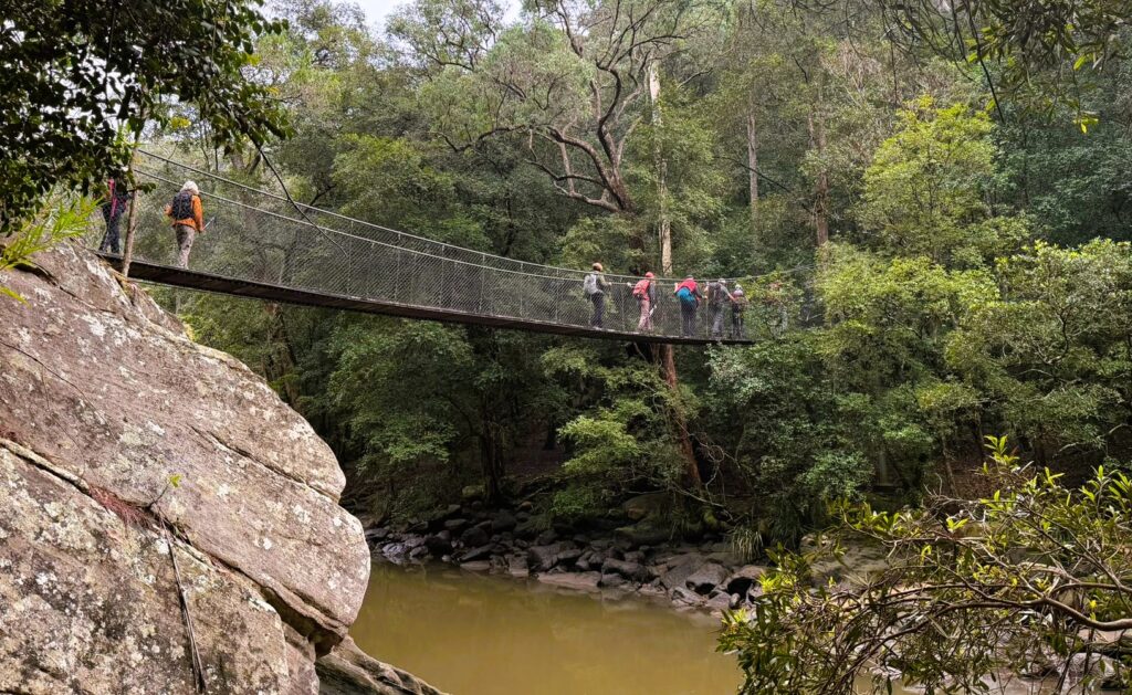
We (19 walkers) started with a car shuffle from Reserve Rd to Girrakool. Once walking, we descended steeply into Piles Creek until it met Mooney Mooney Creek. Along the way, we stopped at the suspension bridge over Piles Creek for morning tea. This was free of leeches, but that soon changed, with increasing numbers trying to hitch a ride. The walk along Mooney Mooney Creek passed through some beautiful bush
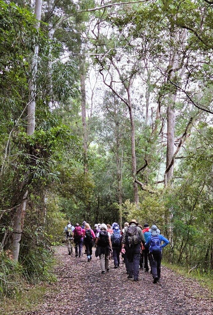
We stopped for lunch on some leech-free rocks at the point where we had to cross Mooney Mooney Creek.
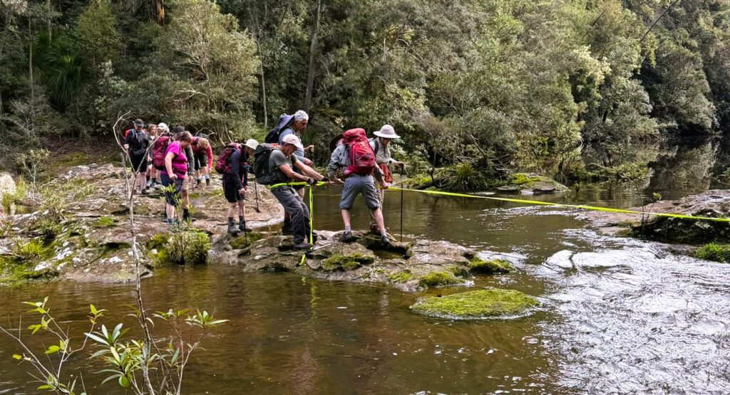
There was no helpful suspension bridge in sight, and the creek was flowing quite fast. The track could be seen continuing on the other side, but how to get there? Peter scouted out several routes across, but finally it was decided that the best route involved crossing a short fast-flowing bit with the aid of the trusty yellow tape. Dave provided the main anchor, with Peter assisting walkers to get down the slippery first part into the water and get hold of the tape. Gradually most of the group crossed here, with a few deciding one of Peter’s other routes was viable. Once across with the tape, there were still some other tricky slippery bits to negotiate. Everyone worked together, until all were safely (and maybe slightly damply) across. This was a great team effort in true Up and Downer style and especially so, as for some walkers this was their first experience of crossing a creek in this way.
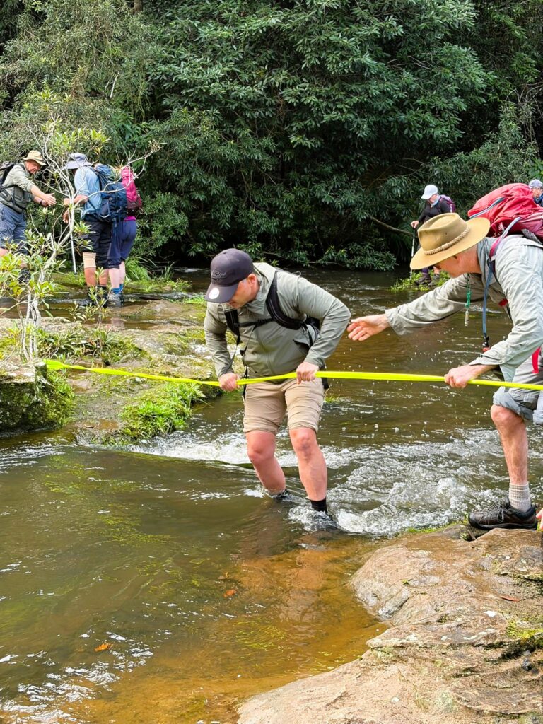
The exposed rock was very slippery but not so bad in the knee deep, fast flowing water.
After the creek crossing, the track wound steadily upwards, past Lower Mooney Mooney Creek Dam. There were more spectacular ferns and interesting fungi until we walked out to the water tanks on Reserve Rd.
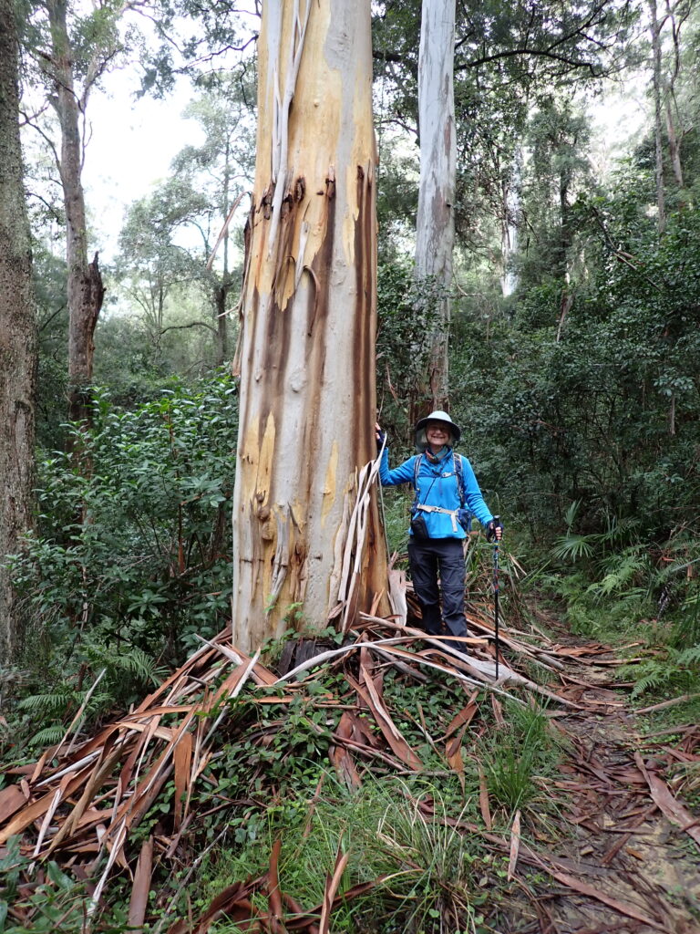
The car shuffle was undone, and drinks (and crisps) were enjoyed at the Mount Penang Gardens before heading home. Thanks to all walkers for an enjoyable day on the track with great teamwork and good company.
More Photos: Contributed by: Ray, Annmarie, Helen, Hazel and Peter:
https://photos.app.goo.gl/kyJcPLe3LR3LcgoQ8
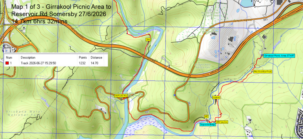
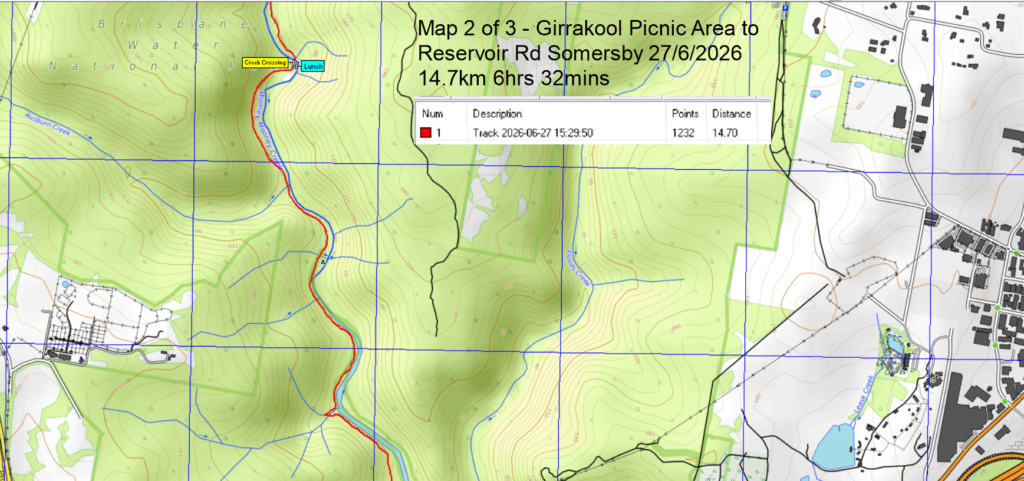
MAPS – click images below to open full maps


Related Posts