All posts by Wendy Cairns

079 6ft track from Megalong cemetery to Cox’s River with bonus wine tasting.

After 2 full days of rain prior to the walk, we were a bit concerned that the inclement weather might continue into the Saturday. As it turned out, it was a beautiful morning with clear blue sky and temperature in the low 20’s.

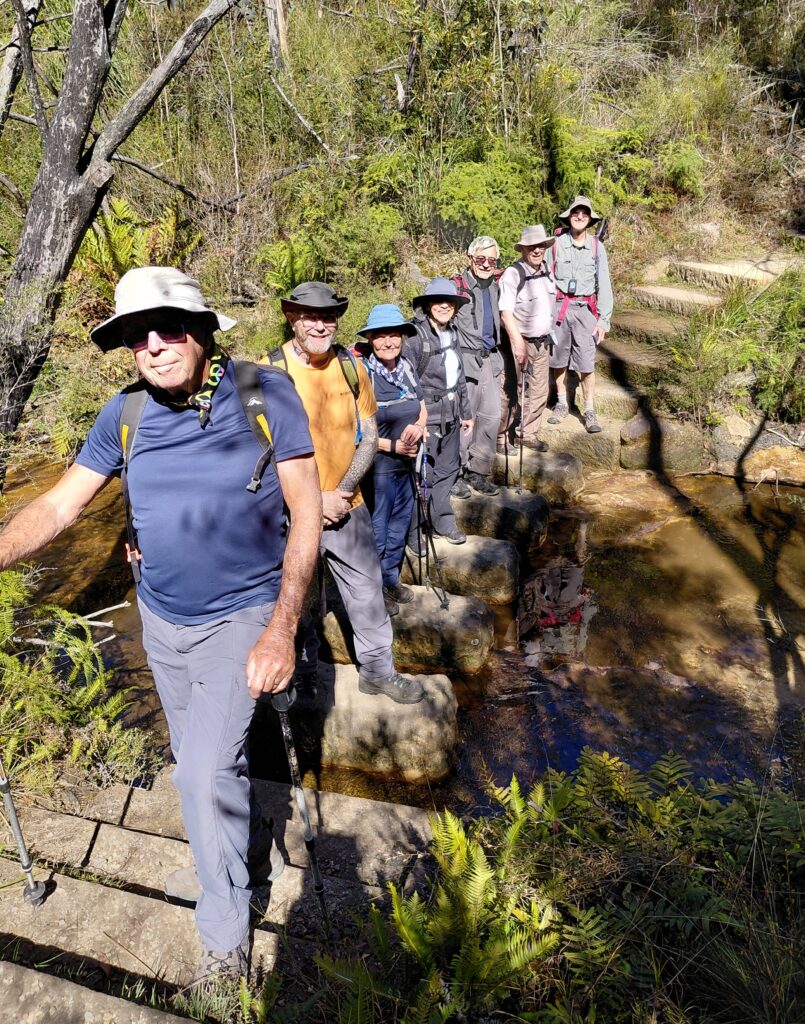
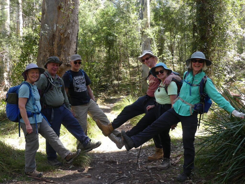
In total there were 10 walkers most of whom had made the 2 hour trip up from Sydney. Janet, Di and John had planned to camp at Megalong Valley Farm but decided on an AirBnb when we hit the rain Thursday afternoon. Smart move.  The walk coincided with a wine tasting at Dryridge Winery which is in the Megalong Valley just by the 6ft Track Route.

We slightly cheated by starting the walk by the Winery which is 2kms along the route. Despite that we ended up doing 12kms in total.

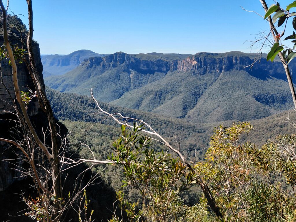
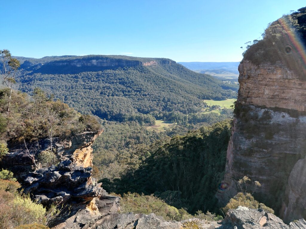
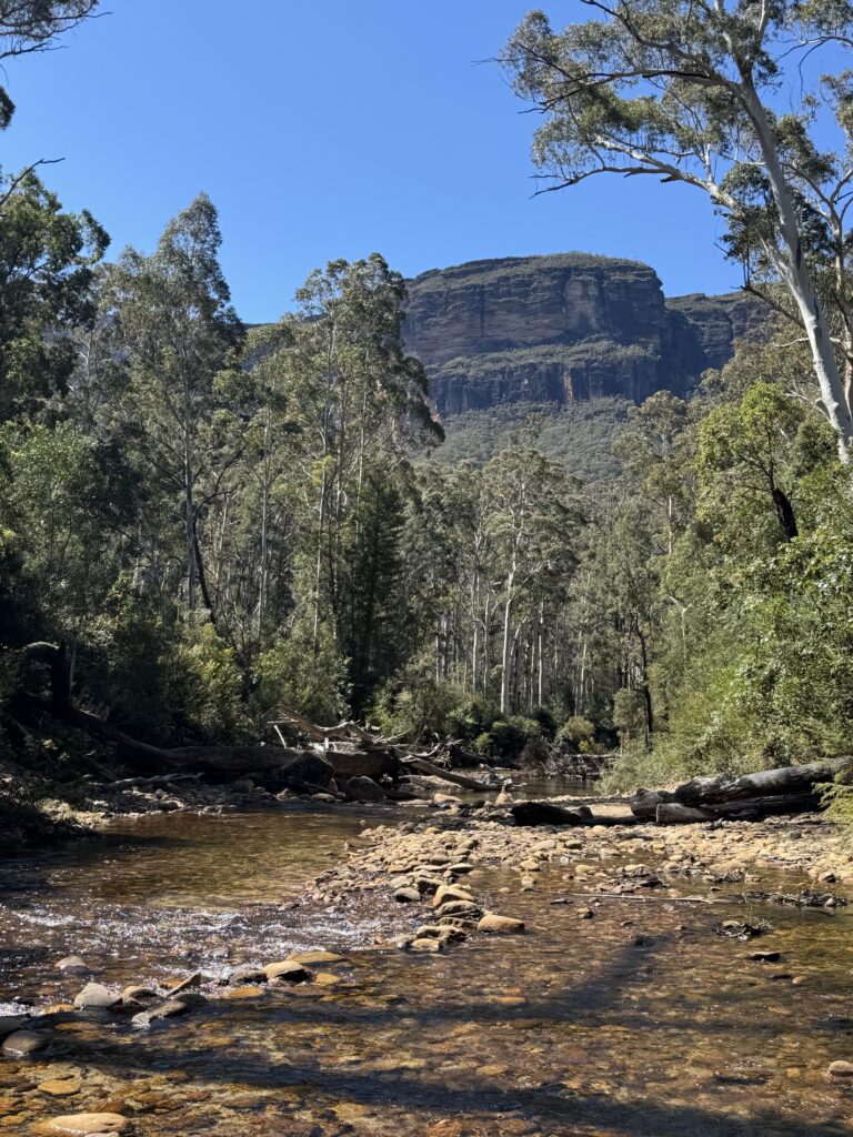
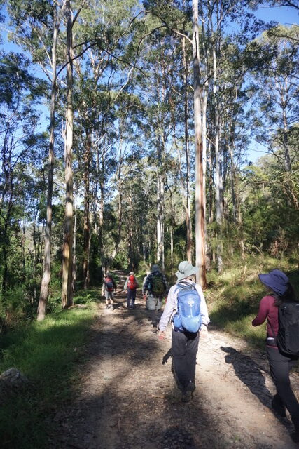
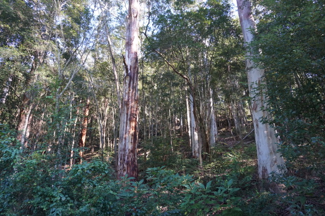
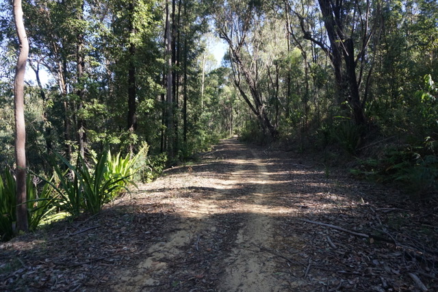
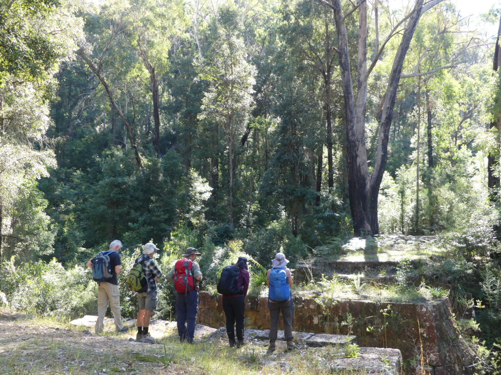
The track starts by crossing some fields with sweeping views of the Megalong Valley and then descends towards the Cox’s river. The track is clearly defined and meanders down along a ridge to the left of the Cox’s. Although we could hear the river it did not come into view until 55 minutes into the walk. The terrain down to the Cox’s was through bush which afforded a little shade from the sun. We expected the river to be higher because of the rain but nevertheless it was running at a good flow.
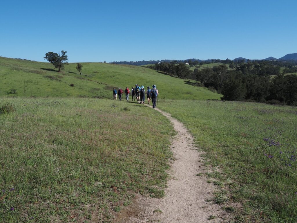
Setting out across the hills.

There were views towards Kananagra from Ron’s Roost which is a bench seat in the shade about 40 minutes into the walk and which was ideal for a drink stop. 

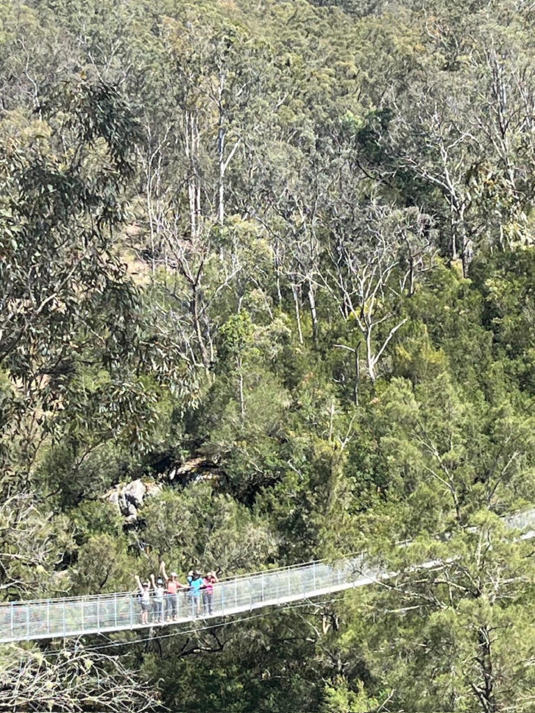
We continued to walk down to the river and along it until Bowtell’s Suspension Bridge came into view. The original Bowtell’s Bridge was built in 1991 and was named after Corporal Bob Bowtell an engineer who died during the Vietnam war on Jan 11 1966. It is a 100m suspension bridge enabling walkers doing the full 6ft Track (42kms) to cross the Cox’s when the river is flowing hard. The new bridge which is a U Shaped configuration capable of supporting 5 people was opened on 13 September 2024. 
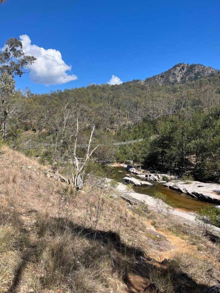
Bowtell’s Bridge coming into view.
Bowtell’s Bridge

We all decided to cross the bridge to get views from the other side before returning along the Cox’s to find shelter for morning tea along the bank.
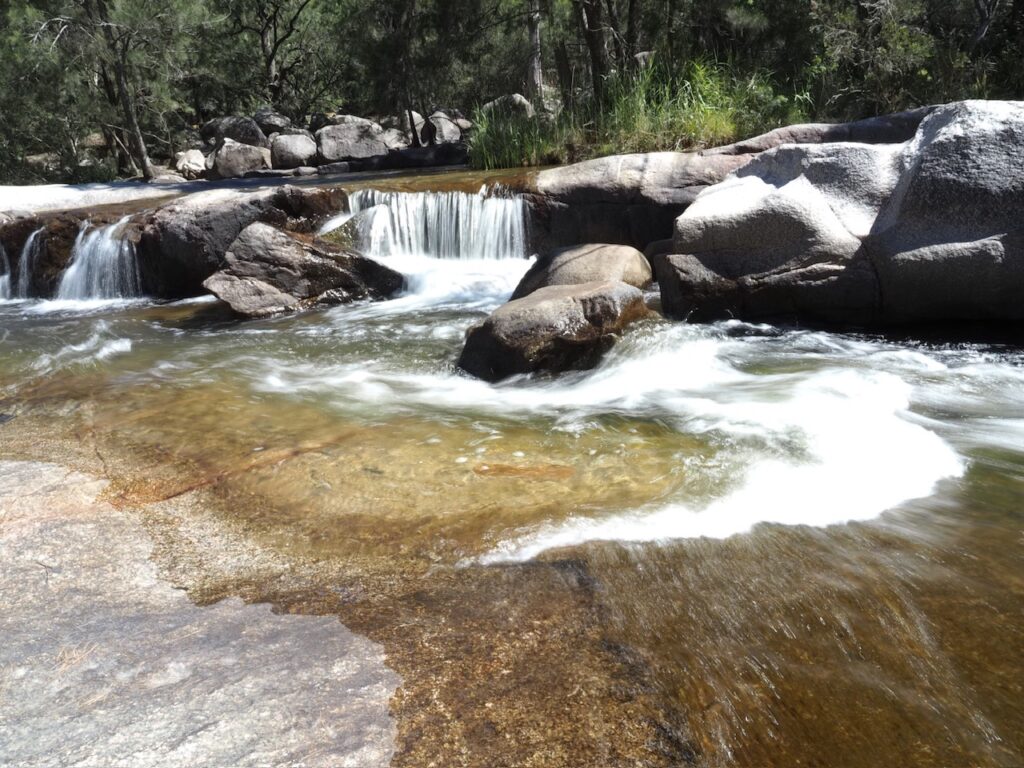
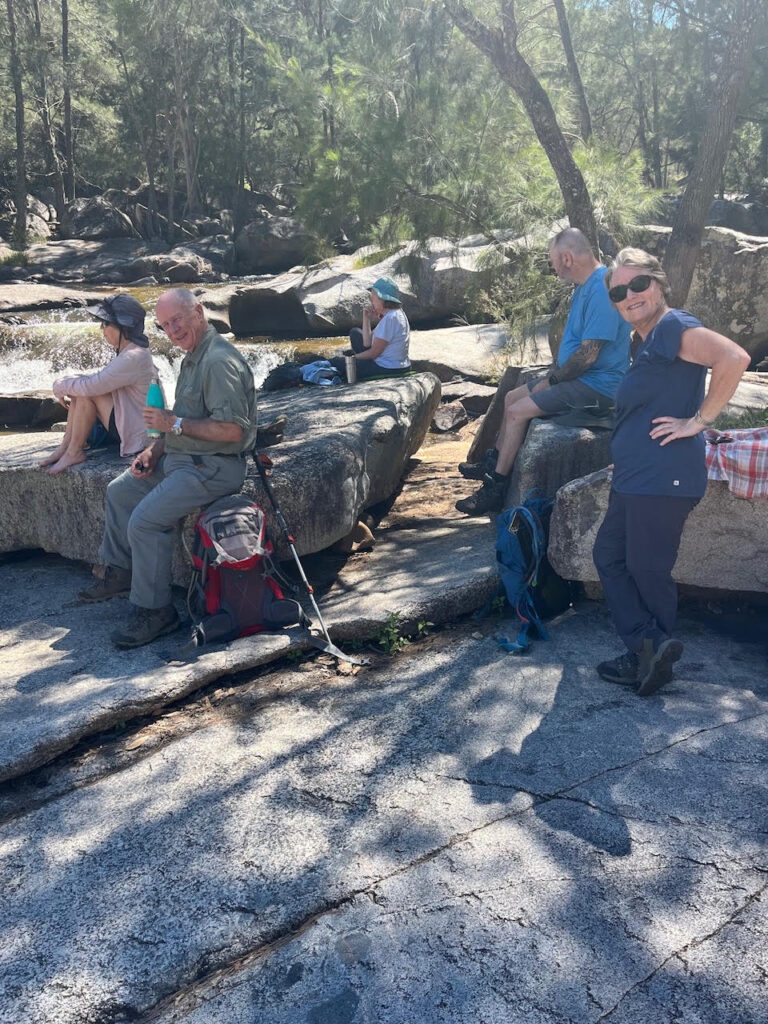
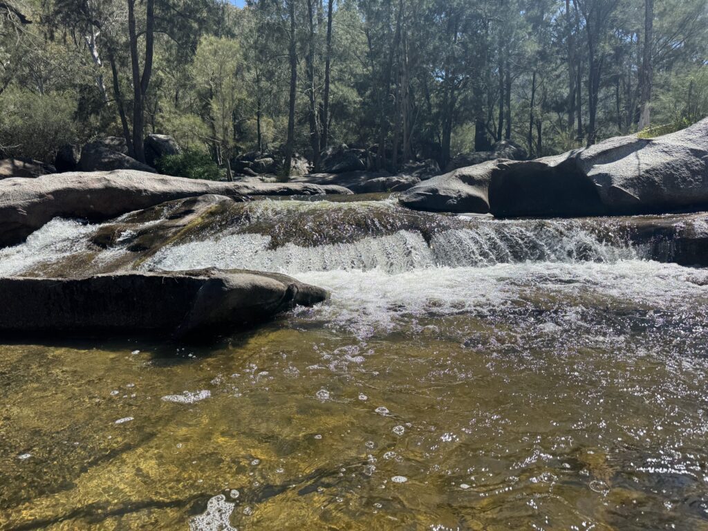
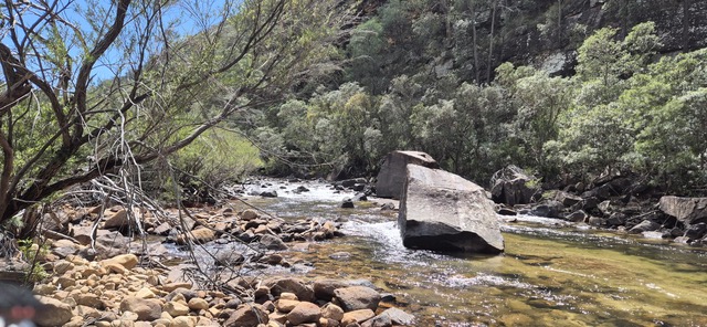
Cox’s River near Bowtell’s bridge.
Morning tea by Cox’s River
Cox’s River at morning tea.

The walk returned on the same route with Di leading and John plodding at the rear. Many wonderful birds were seen and or heard on the route including a Black Cockatoo.

The walk up was a steady 350m up from the river which we did in 1.45 hrs owing to the higher temperature (which we estimated at 25c) and instead of returning to the start of the walk we entered the Dryridge Winery just off the track.

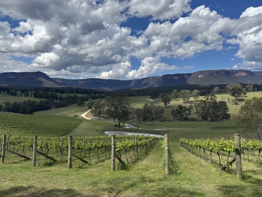
The winery has sweeping views of the Megalong Valley and is very popular for wine tasting with their ploughmans, cheese and charcuterie boards.  It made a very nice change and everyone felt that it was a great way to finish the walk. 

This section of the 6ft Track is probably the most scenic and is a nice way to experience one of Australia’s landmark walking tracks.

Our thanks to everyone who did the walk and we hope that everyone enjoyed it

Best Regards

John & Di 
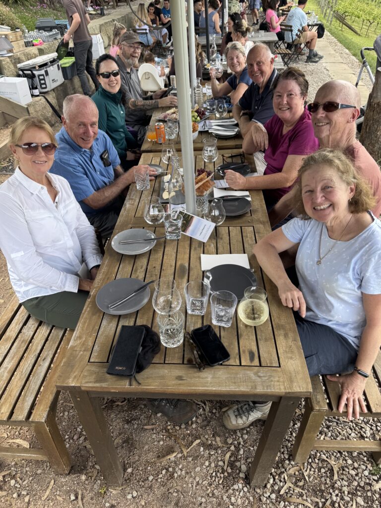
Wine tasting at Dryridge Winery
View from the tasting table

073 Mountain Lagoon to Colo River

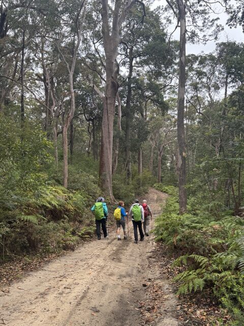
5 walkers undertook the challenge, meeting at Mountain Lagoon and then slowly driving 2.3km along the uneven fire trail to park the cars. There were some spots of rain falling as we prepared to set out- just enough to persuade us to don rain gear. The first 3km of walking was along pleasant fire trail, with tall trees shading the undulating track and some wildflowers adorning the sides of the track. There was quite a lot of accompanying bird song. With the rain reducing to zero, rain gear was packed away before we reached the end of the fire trail.

Colo River
Pleasant shady firetrail
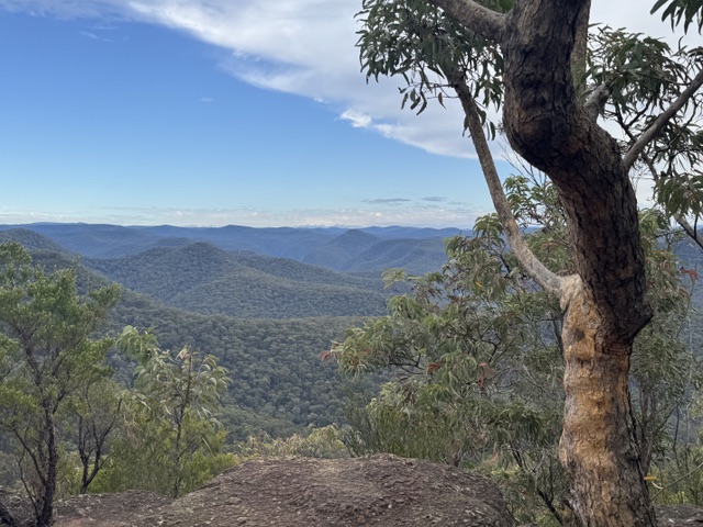
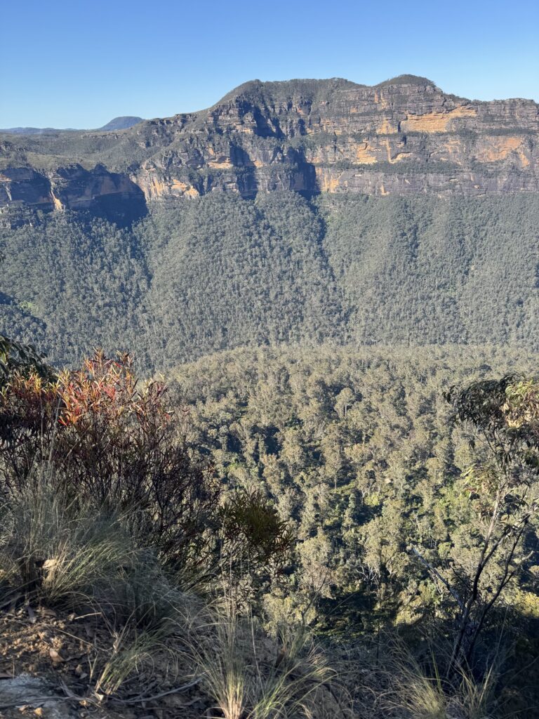
View over Wollemi NP
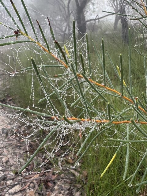
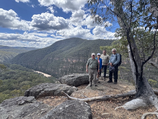
The bush section of the track took us down a ridge line, with wide views over the Wollemi National Park at the top (and where we stopped for morning tea) and then a series of drops over rocky edges with more gradual slopes in between. There were a lot of yellow bloodwood trees, and at times we were pushing through head high undergrowth. On reaching the lookout point, 2 walkers elected to wait while the other 3 continued the last 1.3km down to the Colo River.

At the view point-looking down to the Colo River
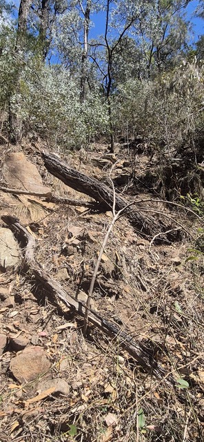
The last descent to the river was ill-defined in places and was slow going.
Rough bush track

The last section of track is quite steep, and in places ill-defined, with some debris across the path, making it slow going. However, the river had a good level of running water, and walkers were able to take in the majesty of the cliffs above. The group re-united back at the lookout and all set off back up the ridge line, clambering up and over the rocky points and pushing ever upwards (or so it seemed). It was a relief to get back to the fire trail and we really appreciated having left the cars part-way along the fire trail. Coffee, cider, ice cream and muffins (with apple pie to take away) were enjoyed at Bells Mountain Cafe on the way home. Well done all on a challenging day!

Weekend in Blackheath

Spending the weekend away in Blackheath provided a large number of members the opportunity to not only complete some of the wonderful range of walks available in the area but also to socialise with club members. After a convivial meal at a local hotel on the Friday evening, a good night’s sleep in our delightful accommodation and breakfast the next morning, several walks of differing levels of difficulty set off (see individual walk reports below). The self-catered dinner was excellent and generous in proportion. We took the opportunity to thank our out-going social committee for their many years of hard work and finished the evening with the performance of a number of skits.

Sunday morning was a later start with BBQ bacon and eggs before people packed up and headed off in various directions, a few to walk, many to visit the rhododendron gardens etc before heading back to Sydney.

GLOW WORM TUNNEL

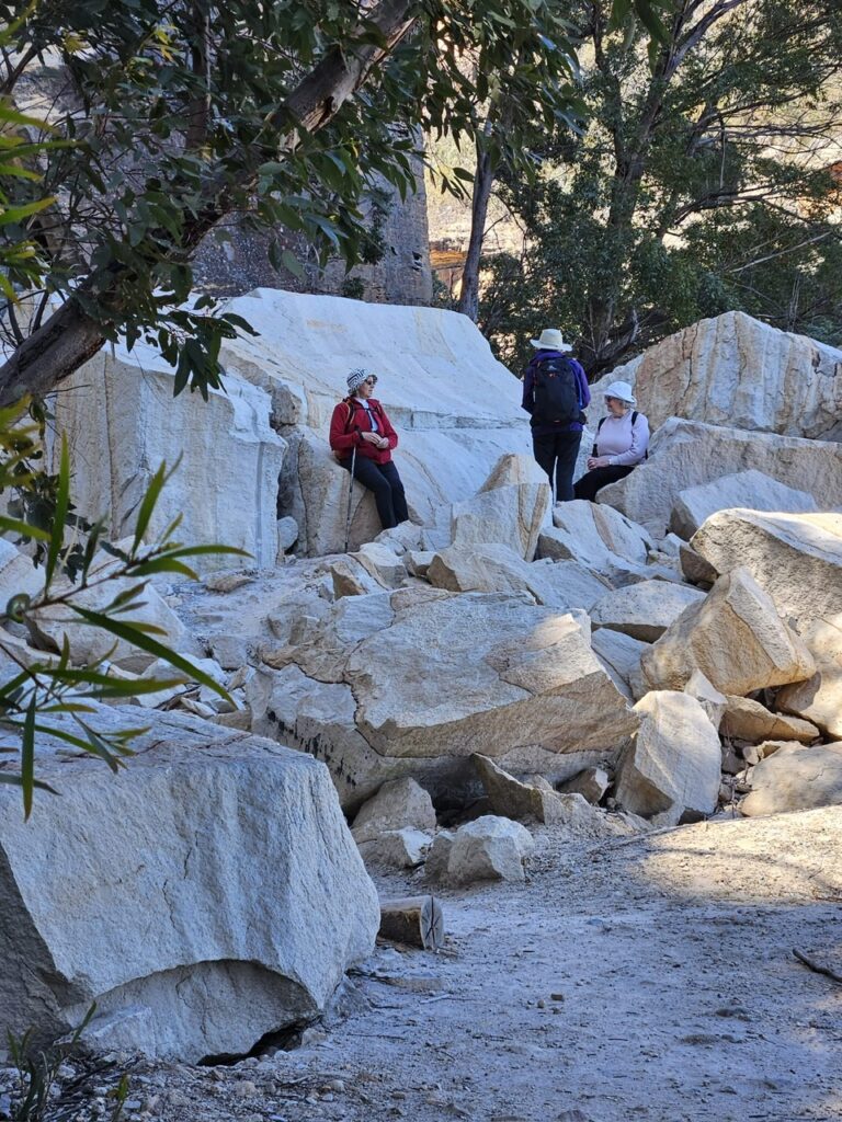
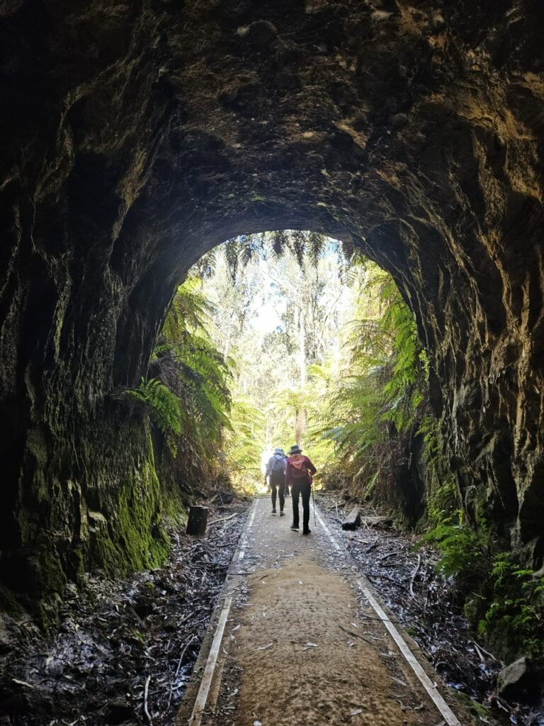
The drive from Blackheath to the start of the track took 1.5 hours and turned out to be the most hazardous part of the day. Trucks from the nearby sand mining area were travelling at a speed requiring evasive action by our driver on more than one occasion. However, once we got there, the walk was an easy 6km and the glow worm display impressive. The 6 walkers enjoyed the beautiful weather and lunch at the rock fall. Fortunately, the drive home was less eventful.

WALK TO LOOKOUT TOWARDS BALD HEAD

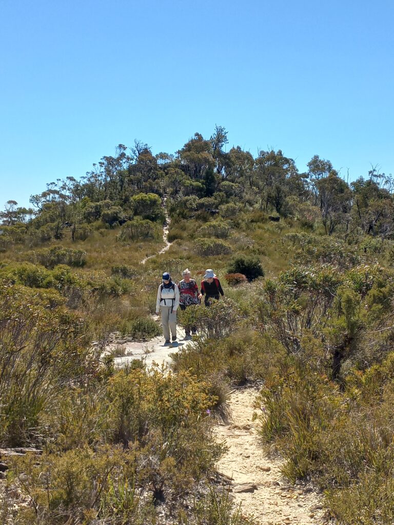
4 walkers decided to make an easier day of it, and so opted for the walk from Hat Hill Road out to the lookout across to Bald Head, about 7km return. In the event, the track around and over the hill sections was irregular enough to make it more of a moderate walk, so we took our time. The weather was very clear and fine, and a bit windy on the exposed bits. There are beautiful views all the way out, either side of the ridge. Quite a few wildflowers were out, with the attendant native bees, butterflies and so on. We had an early lunch at the lookout , and then backtracked to our start. It’s a nice quiet track, with only one other group encountered the whole day.

BLACKHEATH FIGURE 8 WALK

The morning walk saw 8 walkers make their way to Pope’s Glen, Horseshoe falls, Govett’s Leap, Barrow Lookout and the Braeside track. After a lunch enjoyed in the sun, 7 walkers continued on to Clifftop , Centennial Glen, Colliers Causeway and Porter’s Pass. Total distance: 15 km. Fabulous weather and views.

086 EVANS LOOKOUT, HORSE TRACK, BLUE GUM FOREST AND PERRY’S LOOKDOWN

Starting at Evans Lookout, 6 walkers were able to view where we hoped to get down to, steel their nerves, and set off down the recently re-opened Horse Track. The track has had many steps built, making it less treacherous than previously to navigate, but the elevation drop still makes it steep. Reaching the bottom of the valley, we made our way along a pleasant track beside the river until we reached Junction Rock where we had morning tea. After that, the track became much more undulating. We stopped at the base of the Perry’s Lookdown track for lunch, and diverted to explore the river nearby and the Blue Gum Forest. Perry’s Lookdown has not got any easier, but we all made it to the top where we were delighted to find our “uber”driver waiting to transport us back to base. A challenging but satisfying day.

PULIP ROCK TO GOVETT’S LEAP

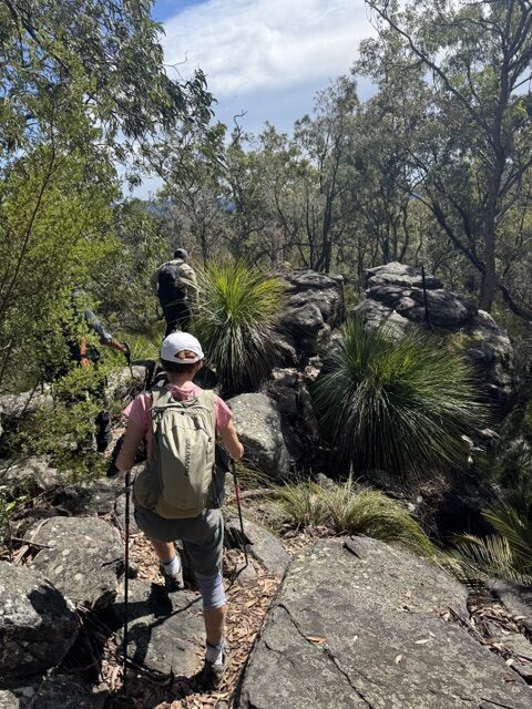
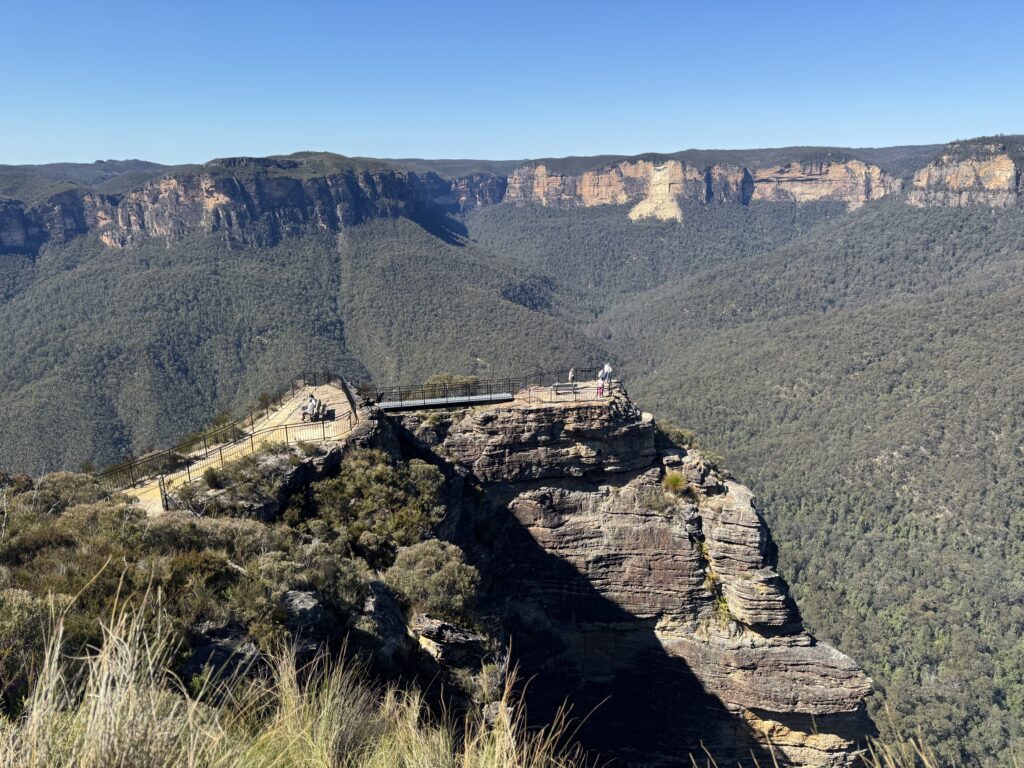
It was a delight to find the track into Pulpit Rock open again after a lengthy closure. The viewing platforms have had new railings installed and the very lowest platform is no longer accessible. 4 walkers enjoyed the still magnificent views and took advantage of the gorgeous weather to walk on to Govett’s Leap. The wildflowers were abundant and various.

072 Middle Harbour Wander

Early morning showers did not deter 20 walkers who set off under cool and cloudy conditions. We were pleased that despite some threats, further showers held off until after the walk was completed. Entering Explosives Reserve, the track took us on a couple of loops through healthy bushland, with Scribbly gums, Casuarinas and a variety of early wildflowers showing their faces. Exiting the reserve in Camerary Rd, a short road walk took us ot HC Press Park and along the edge of Sugarloaf Bay. All walkers took the detour up to Wilkins castle which generated discussion of how much it would cost to buy and why anyone would build a castle.

Casuarina after rain
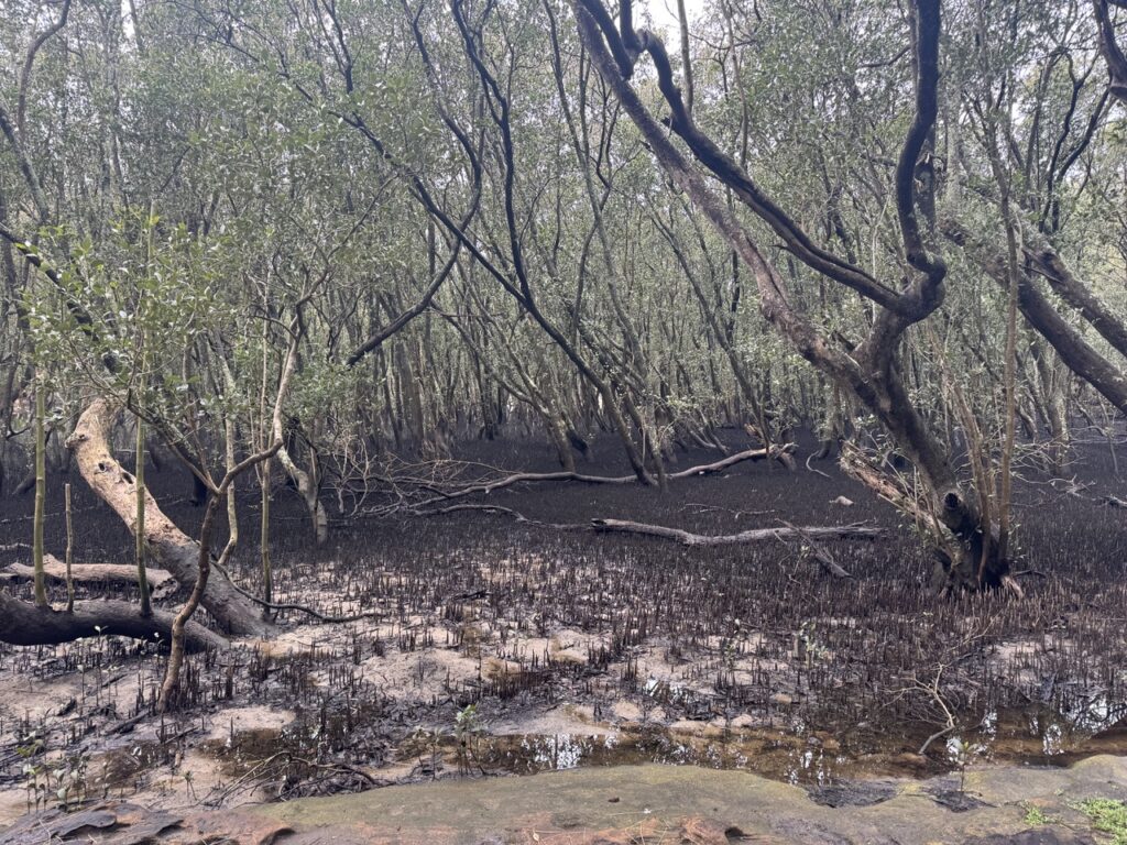
Scott’s Creek mangroves

Returning to the track, we made our way along the North Arm Walking Track, with many forms lining the track, and morning tea along the way. The track crossed Scott’s Creek and followed the creek along before some steep steps took us up to the road. A few leeches were encountered and dealt with.

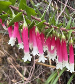
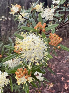
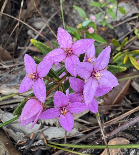
Epacris longiflora
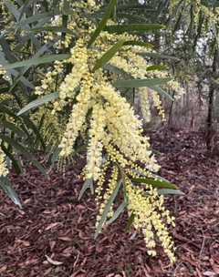
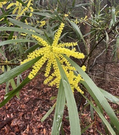
Acacia floribunda (?)
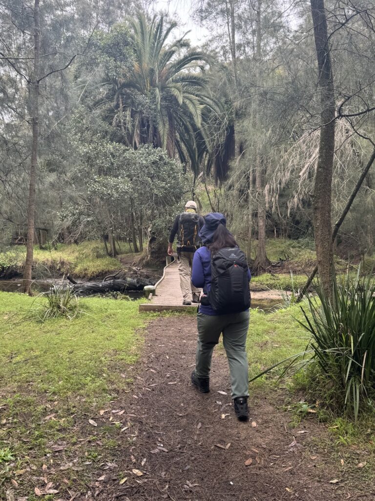
Crossing Scott’s Creek
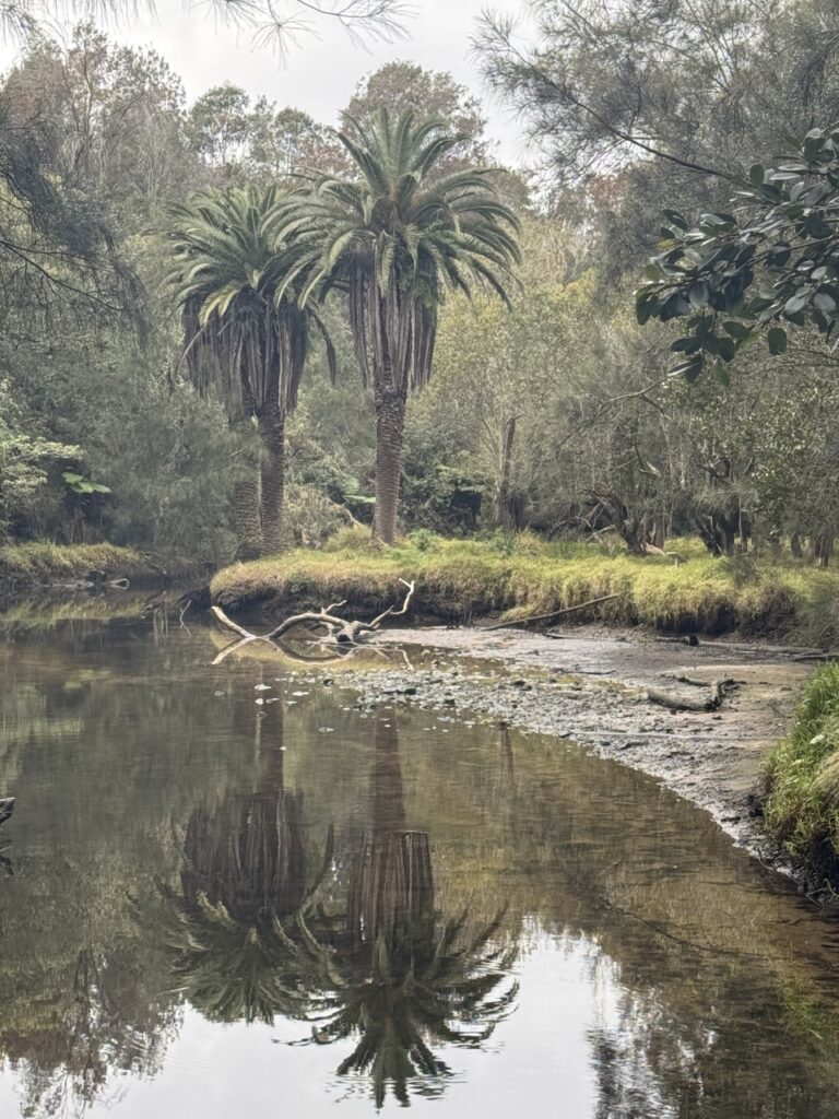
Reflections in Scott’s Creek

Another short road walk took us up to the Harold Reid Foreshore Track, around the base often Sugarloaf and then up to Harold Reid Reserve lookout for lunch with a view. completing the loop on top of the Sugarloaf, we returned to the start of the Harold Reid Foreshore Track and retraced out steps over Scott’s Creek, taking the paved trail back to Deepwater Rd adn then street walked back to the cars.

Drinks were enjoyed at the Castlecove Golf Club where the locals were friendly to the point of encouraging us to join their club, claiming that gold was “just like bushwalking, only with more swearing!”

Well done all!

Acacia longifolia
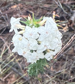
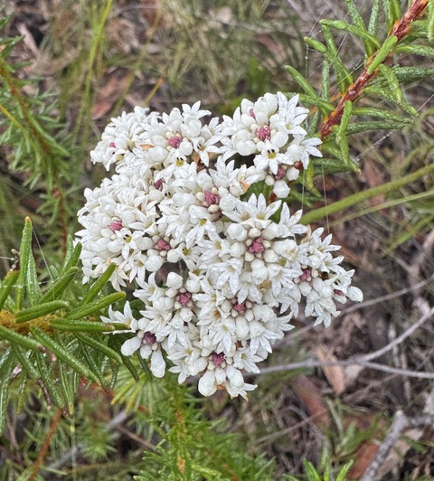
Woolsia pungens
North Arm Walking Track
Pheballium squamulosum
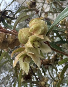
Lasiopetalum ferrugenium
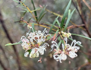
Grevillea linearifolia

041 Resolute Beach Track

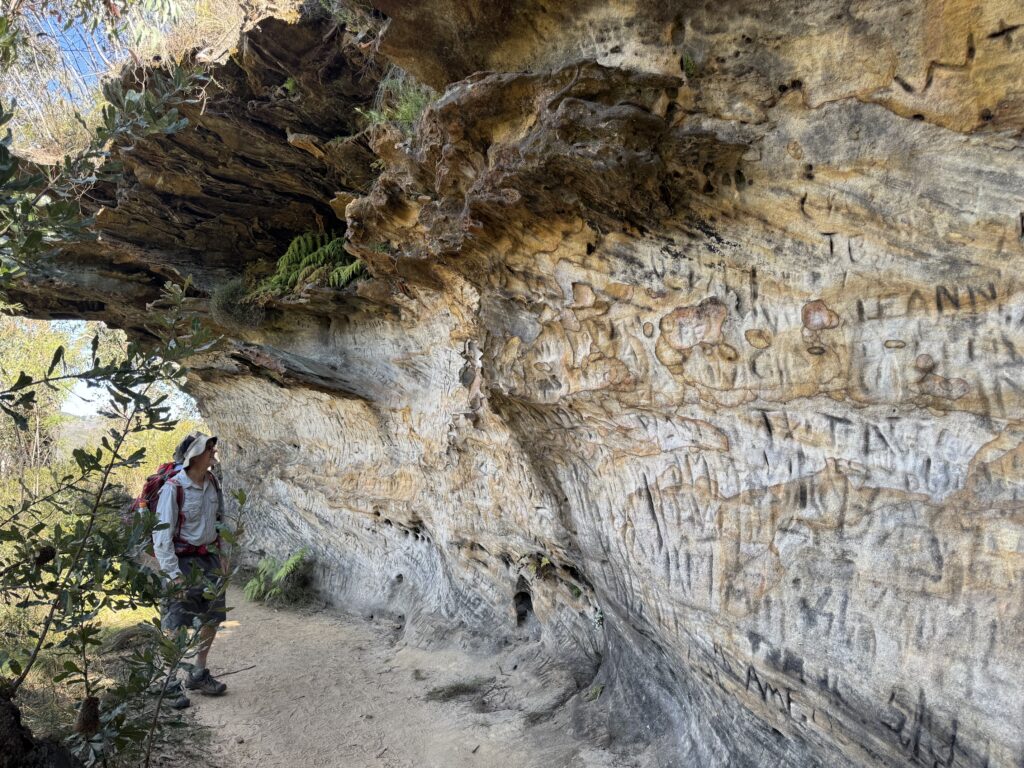
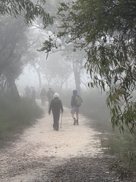
The day statrted in thick fog which made for an exciting drive to West Head dodging barely visible cyclists. The fog created an atmospheric start to the walk past Aboriginal engravings and a magnificent cave overhang. 

The track to Mackeral was rough as expected but fortunately had been recently cleared by NPWS making it much safer

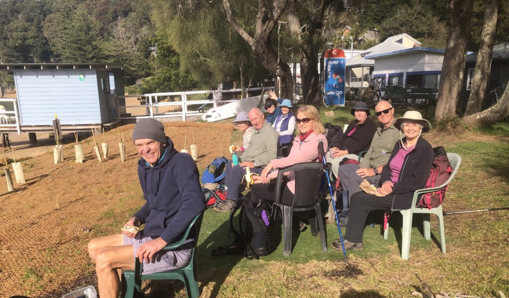
The sun was out  by the time we arrived at Mackeral Beach. We had the perfect spot for morning tea – a view to die for , warm sun and even comfy chairs to sit in. 

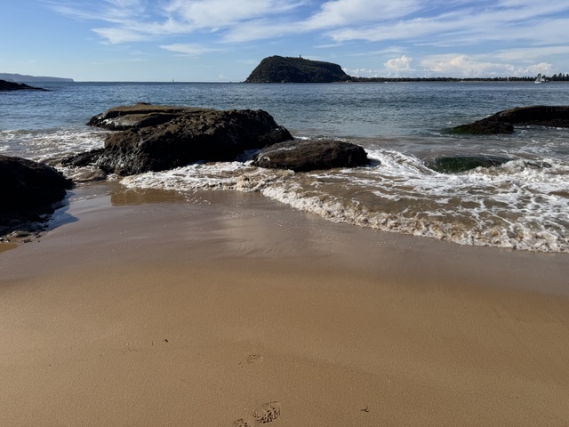
On the way to West Head we diverted to West Head Beach with amazing views to Barrenjoey

Returning to the Resolute Picnic area for a pit stop and then out to Koolewong Lookout for lunch

A real Goldilocks day. Even so most of us felt that we had done a walk.

Misty morning on the Resolute Beach track
Morning tea at Great Mackerel Beach. If you need a public phone box, you know where to go!
View from West Head Beach
Boronia ledifolia
Conospermum
Hakea in the morning mist.

061 Dharug NP: Ten Mile Hollow and Dubbo Gully Loop

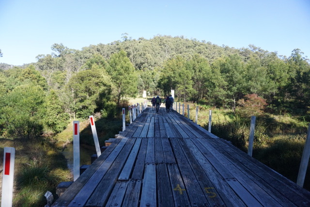
A bright sunny morning but with a touch of winter chill saw 7 walkers gather at Mangrove Mountain to tackle a walk which, at 25 klms, is much longer than our usual walks. After driving as far down Dubbo Gully Rd as possible ( a locked gate preventing further progress), we set off downhill on good fire trail. After 2 klm, we took the left fork at the Y junction and crossed a long bridge over Mangrove Creek.

Bridge over Mangrove Creek

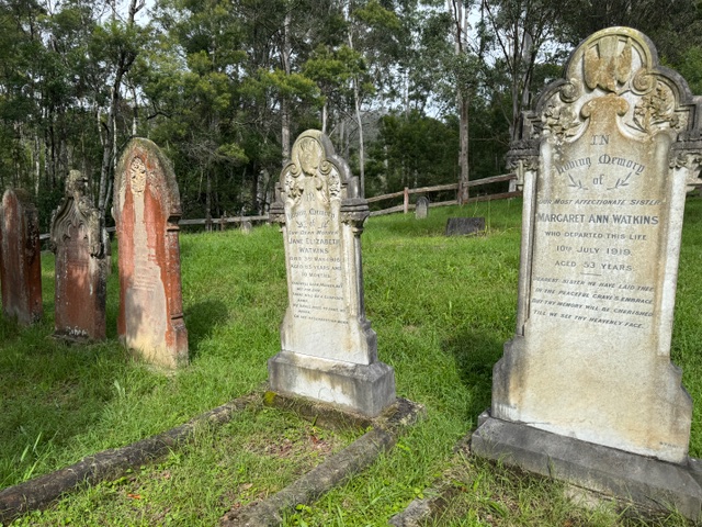
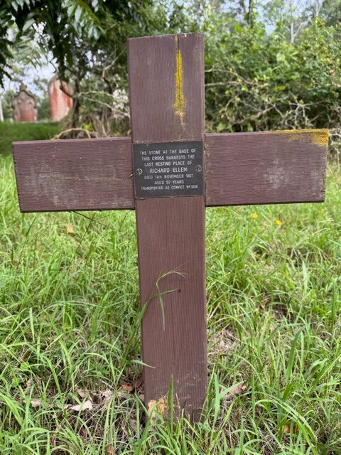
At the 4klm mark, we stopped to explore the historic cemetery, finding graves dating back to the 1850’s, including one for a former convict.

Cemetery
Oldest marked grave in the cemetery
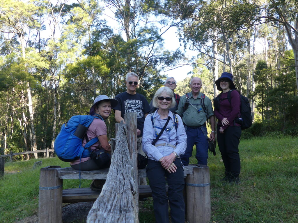
Group photo on the stile entrance to the cemetery

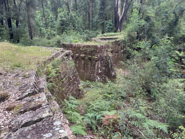
A short time later, another Y junction marked the started of the Dubbo Gully Loop. We took the left hand track, doing the loop clockwise. The trail loosely follows Mangrove Creek and has remnants of historic embankments and culverts visible at the side. We paused here for morning tea, above the creek.

After passing through a low, swampy area, the track started to climb gradually, but it was a sustained incline.

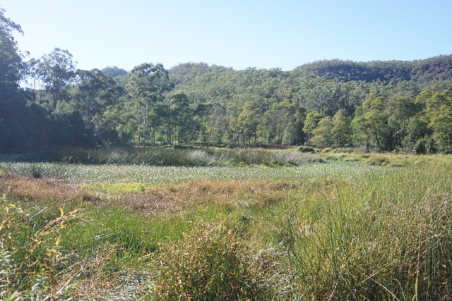
Swampy area where Purple Swamphens were spotted.
Firetrail
Forest we passed through

Just after the half way mark, we encountered the Ten Mile Hollow camp ground, equipped with a toilet, table and bench seats and fire pits. Turning right onto the Old Great North Rd, it was about 1 klm to reach Clares Bridge, constructed in 1830 and named for the overseer of construction. There is no decking on the bridge, but the support structures are impressive and made a good spot for lunch.

Old Great North Road
Clares Bridge
Clares Bridge

After lunch, there was a little more uphill and then started downhill, which was a little steeper than the long ascent. We stopped to admire a good view looking down on our earlier pathway. A lyrebird was spotted on the way, a nice surprise after hearing (but not seeing)several earlier in the day among a lot of other birdsong. We had also seen Purple Swamp-hens and a brown cuckoo dove.

Having completed the loop, we retraced our steps back to the cars, a very welcome sight for some of us. It had been a long walk, but with excellent weather and good spirits maintained, the walk was completed in good time. Drinks at the Mangrove Mountain Memorial Club were appreciated.

Well done all!

060 The Greenway Walk

16 walkers met at Hawthorne light rail station for the start of our walk.  The Greenway is a mixed cycle and walkway in the inner west. For a Saturday morning it was not as busy as feared

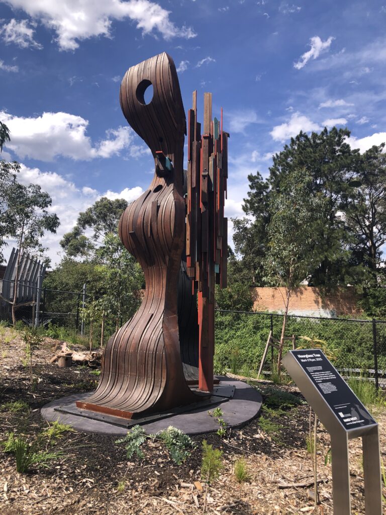
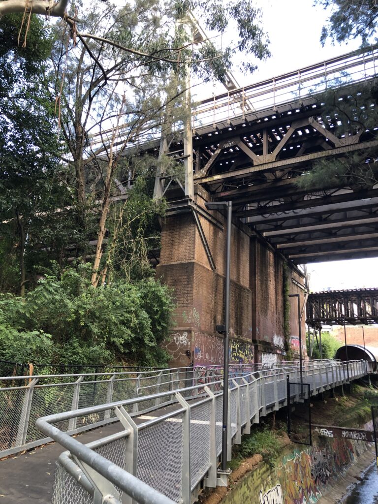
As the walk along the Greenway is only short we had ample time to stop and admire the commissioned art installations, parks, industrial heritage, tunnels and bridges. 

Arriving at Cooks River we ran into a Coffee cart- long awaited by some. Morning tea was had in a picnic shelter and then we retraced our steps back to the Dulwich Hill light rail back to Hawthorne

Most of us elected to walk further north along the canal to the Bay Run where we had lunch

By the time we returned to Hawthorne we had clocked up about 11kms

One of the art installations along the route
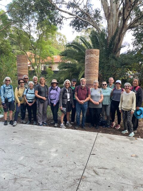
Group photo
Tunnels and bridges
New shared cycle/pedestrian track

Chris.

044 Narrabeen Lagoon-Gourmet Walk 11 April

18 walkers assembled at the edge of Narrabeen Lake on a perfect day for a walk.

We remembered, as it is an urban walk, to keep an eye out for hazards such as e bikes, runners, kids, other walkers, and our friend snapped from the boardwalk (see picture left). The lake was at high tide, so kayakers and stand up paddle boarders were out in numbers. We walked the easy trail all around the lake and got back to the cars to prepare a gourmet lunch. Special mention for Loic for considering Kit Kat cholocate bars qualified as gourmet food. Well, they got eaten!!!

Thanks to everyone for a great walk and a very satisfying lunch before heading home.

Greg and Dawn

059 Bouddi NP: Bouddi Coastal Walk

The weather gods smiled on us. The predicted rain did not eventuate and we had a perfect clear sunny day leading to extensive views of sparkling blue waters.

Seven of us met at Putty Beach. We had plenty of cars for a car shuffle to start the walk from Beachview Esplanade in McMasters Beach.

An early morning tea at Little Beach, then lunch at Maitland Bay. Finishing the walk at 1pm just as the clouds darkened and the rain began.

Walking uphill after Little Beach
Little Beach
Maitland Bay
Putty Beach with ominous sky

Welcome to our newest member Helen. We hope you have many fun adventure with us.

Banksia serrata
Banksia spinulosa

036 Royal NP: Lady Carrington Drive to Palona Cave

After the high temperatures and humidity of the week, the overcast day and cooler temperatures were welcomed by the 11 walkers who set out to discover this new walk for the club in the Royal National Park.

After meeting at the end of the Forest Path on Sir Bertram Stevens Drive and car shuffling to the Fig Tree Flat picnic area, we learned that Lady Carrington Drive was built in the 1860’s, and then set off along the road. The road is broad and flat, though stoney underfoot. We soon encountered Gibraltar Rock, a sandstone formation which overhands a section of original cobblestone road surface, and later came to Jersey Springs where 2 water troughs were installed to water horses on the drive. The troughs are still filled by the same springs as when they were built.

Gibraltar Rock
Jersey Springs water trough

Without an obvious place for morning tea, we stopped on the road and managed to avoid being skittled by bike riders.

Along the next section of road, a pair of lyrebirds were observed just above us on the sandstone cliffs. Continuing on, we turned on to the track to Palona Cave, a 1 klm undulating bush track to reach the limestone cave and Palona Brook Falls just beyond. After spending a little time exploring the cave and admiring the falls, we returned to the main road and back-tracked a little to the Palona Brook Picnic area for lunch. There was a magnificent Turpentine tree nearby.

Lady Carrington Drive
Palona Cave stalactite

After lunch we continued along Lady Carrington Drive . Upon reaching the intersection with The Forest Path, we turned right and followed the track unto a wonderland dominated by Cabbage Leaf Palms and ferns. The track follows a long curve in the river, but is mostly high above the water. Arriving back at the cars, we undid the car shuffle and repaired to the Audley Dance Hall for refreshments.

A few leeches were encountered, but otherwise all finished the day in good shape. It was a thoroughly worthwhile day.

Palona Brook Falls