Tag 2026

072 Middle Harbour Wander

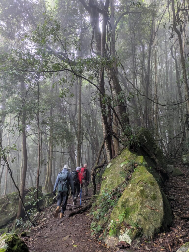
Early morning showers did not deter 20 walkers who set off under cool and cloudy conditions. We were pleased that despite some threats, further showers held off until after the walk was completed. Entering Explosives Reserve, the track took us on a couple of loops through healthy bushland, with Scribbly gums, Casuarinas and a variety of early wildflowers showing their faces. Exiting the reserve in Camerary Rd, a short road walk took us ot HC Press Park and along the edge of Sugarloaf Bay. All walkers took the detour up to Wilkins castle which generated discussion of how much it would cost to buy and why anyone would build a castle.

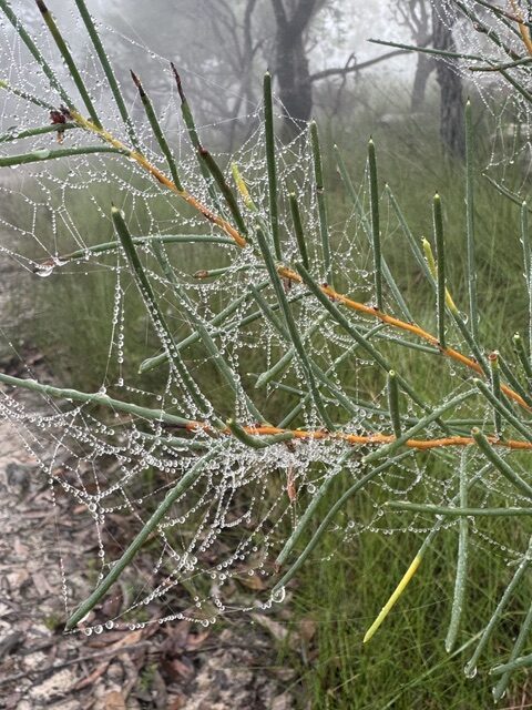
Casuarina after rain
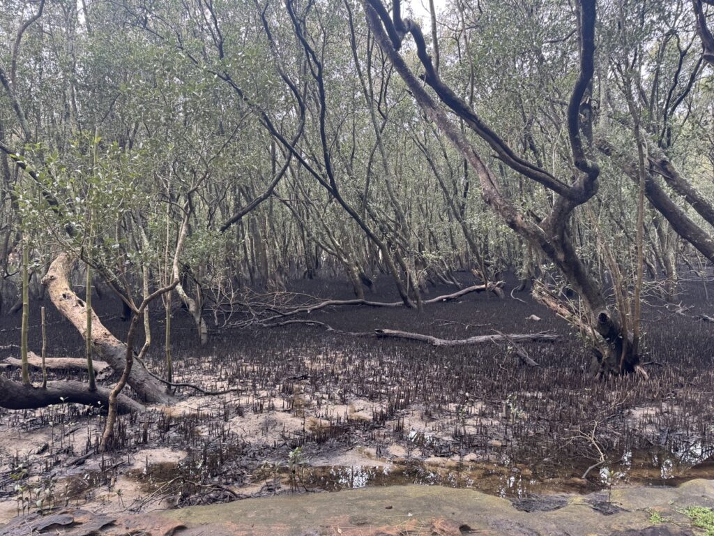
Scott’s Creek mangroves

Returning to the track, we made our way along the North Arm Walking Track, with many forms lining the track, and morning tea along the way. The track crossed Scott’s Creek and followed the creek along before some steep steps took us up to the road. A few leeches were encountered and dealt with.

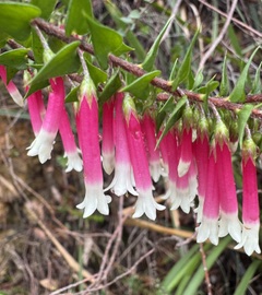
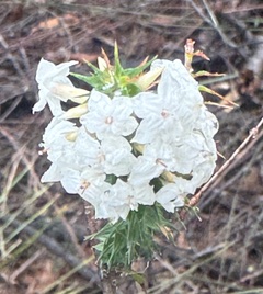
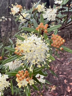
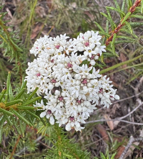
Epacris longiflora
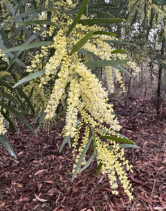
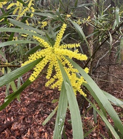
Acacia floribunda (?)
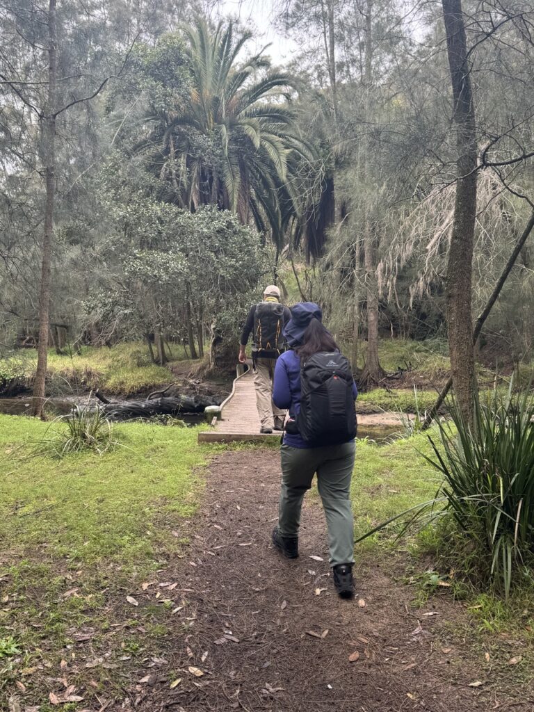
Crossing Scott’s Creek
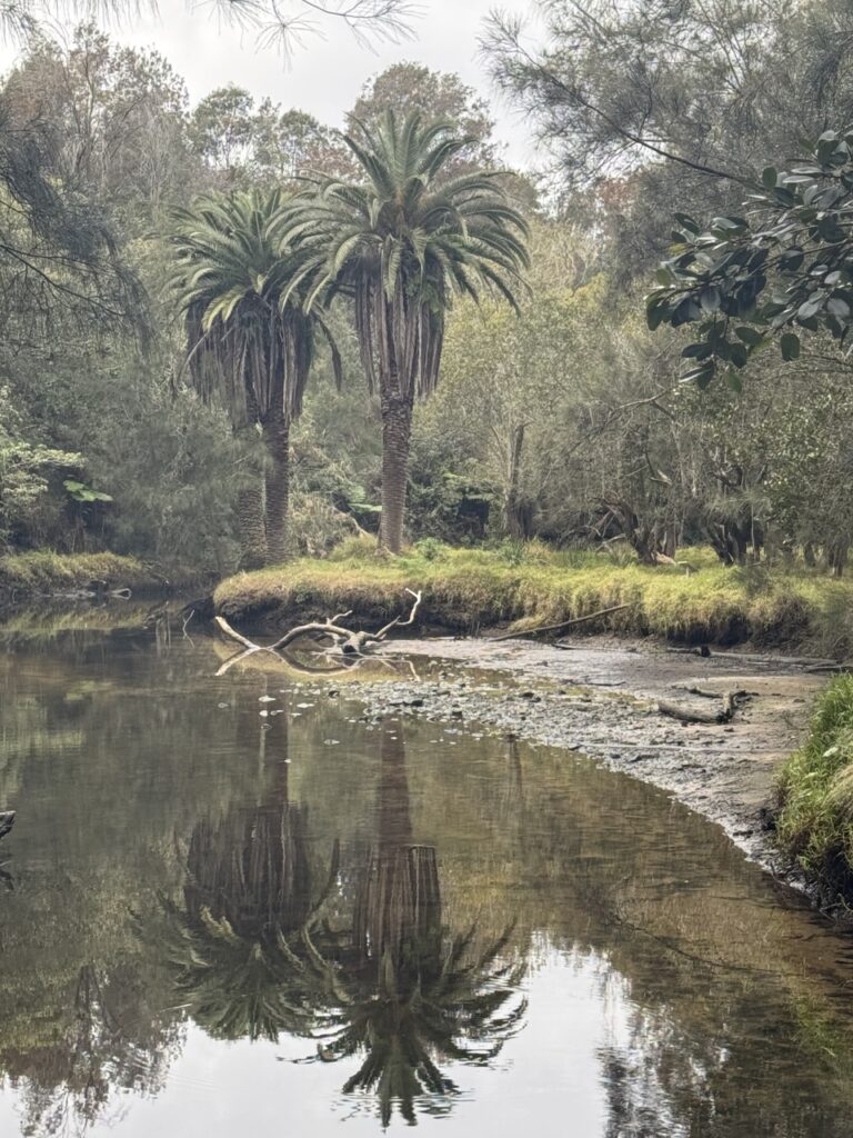
Reflections in Scott’s Creek

Another short road walk took us up to the Harold Reid Foreshore Track, around the base often Sugarloaf and then up to Harold Reid Reserve lookout for lunch with a view. completing the loop on top of the Sugarloaf, we returned to the start of the Harold Reid Foreshore Track and retraced out steps over Scott’s Creek, taking the paved trail back to Deepwater Rd adn then street walked back to the cars.

Drinks were enjoyed at the Castlecove Golf Club where the locals were friendly to the point of encouraging us to join their club, claiming that gold was “just like bushwalking, only with more swearing!”

Well done all!

Acacia longifolia
Woolsia pungens
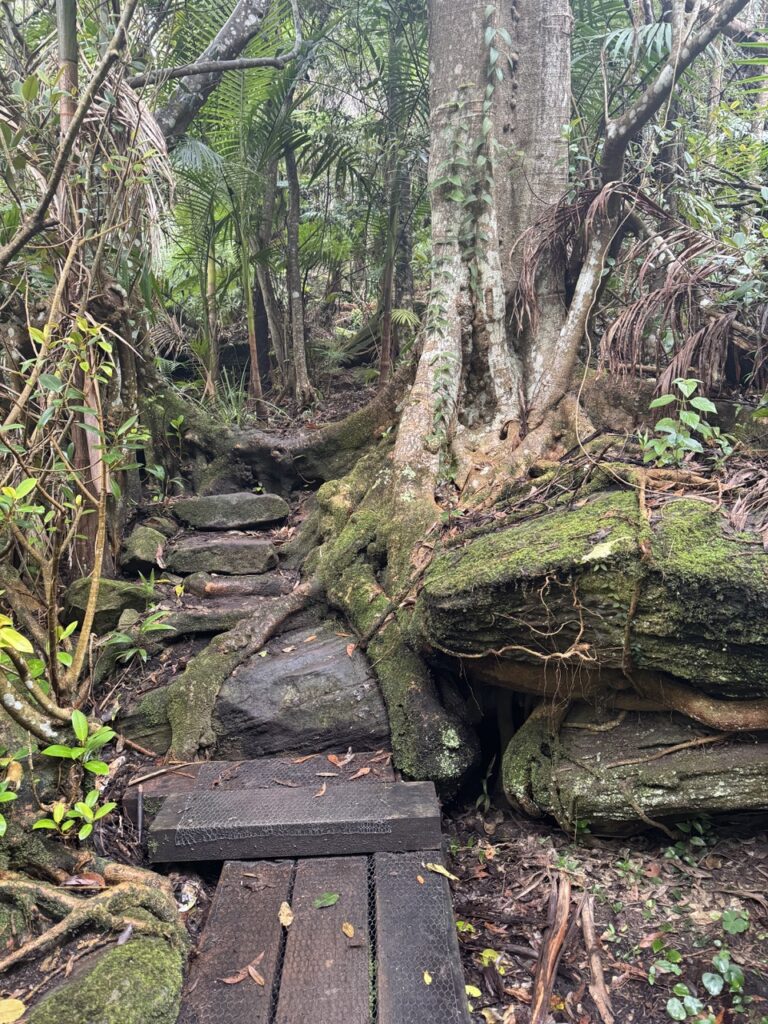
North Arm Walking Track
Pheballium squamulosum
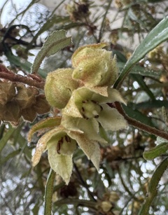
Lasiopetalum ferrugenium
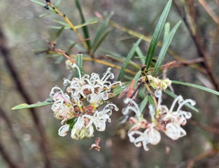
Grevillea linearifolia

071 Golden Stairs Ruined Castle Furber Steps

For the four (4) walkers, they day started with some concern that we would only see a blanket of white fog for the day. We shouldn’t have worried, as the sky started to open and the views appeared before us.
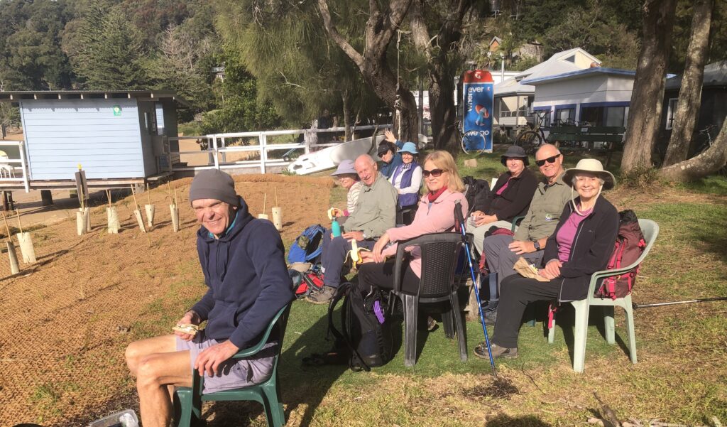
We started our day walking along Narrow Neck to the top of the Golden Stairs and along the way we saw a lot of bird life. This was the story for the first part of the day – from Lyrebirds through to LBB’s (little brown birds).

We arrived at Ruined Castle in time for morning tea with a view as the fog started to lift and saw glimpses of the end of Narrow Neck and Mt Solitary. Our merry band then started to climb down to the main track. The walk back to the bottom of the Golden Stairs entailed dodging lots of walkers going the other way and skipping over the muddy track.

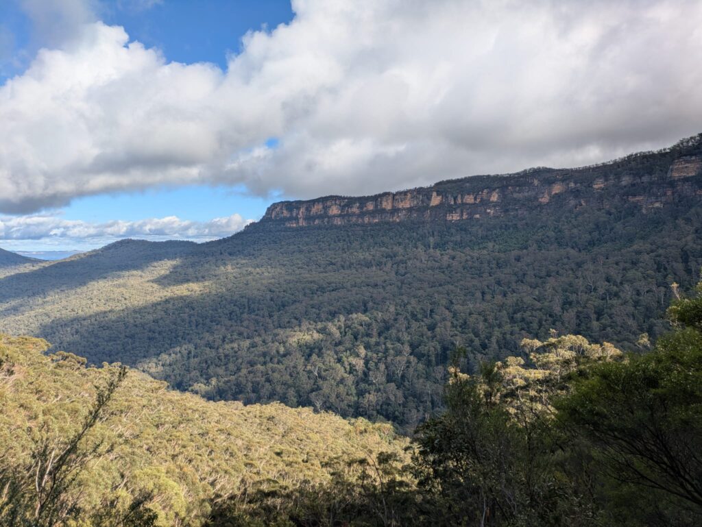
The track after the Golden Stair turn-off and through to the Scenic Railway was a path less well used. By this time the fog was gone, fewer walkers, the sky a brilliant blue and lovely views appearing in the openings of vegetation. We lunched near the land slip and had great views up the Kadumba Valley, the Three Sisters and Mt Solitary.

Our day finished climbing up the Furber Steps and visiting every lookout on the way to the top. The day finished at the Scenic Railway café with a beverage, several satisfied laughs and a great view.

After a solid day’s walk, I thank our small but merry band for the wonderful company, views, laughs, birdlife, and satisfying weariness.
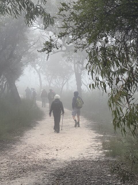
Walking through the mist to Ruined Castle
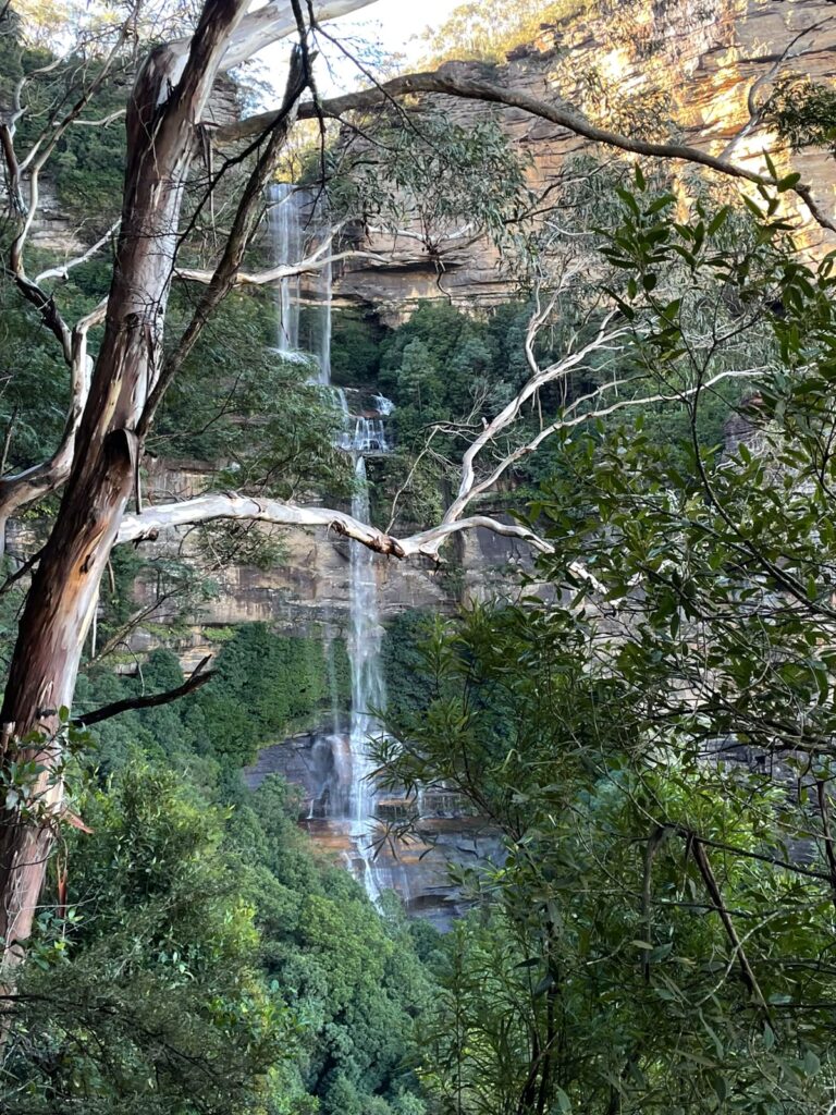
Waterfall next to Furber Steps
Narrow Neck and Ruined Castle from the Landslide
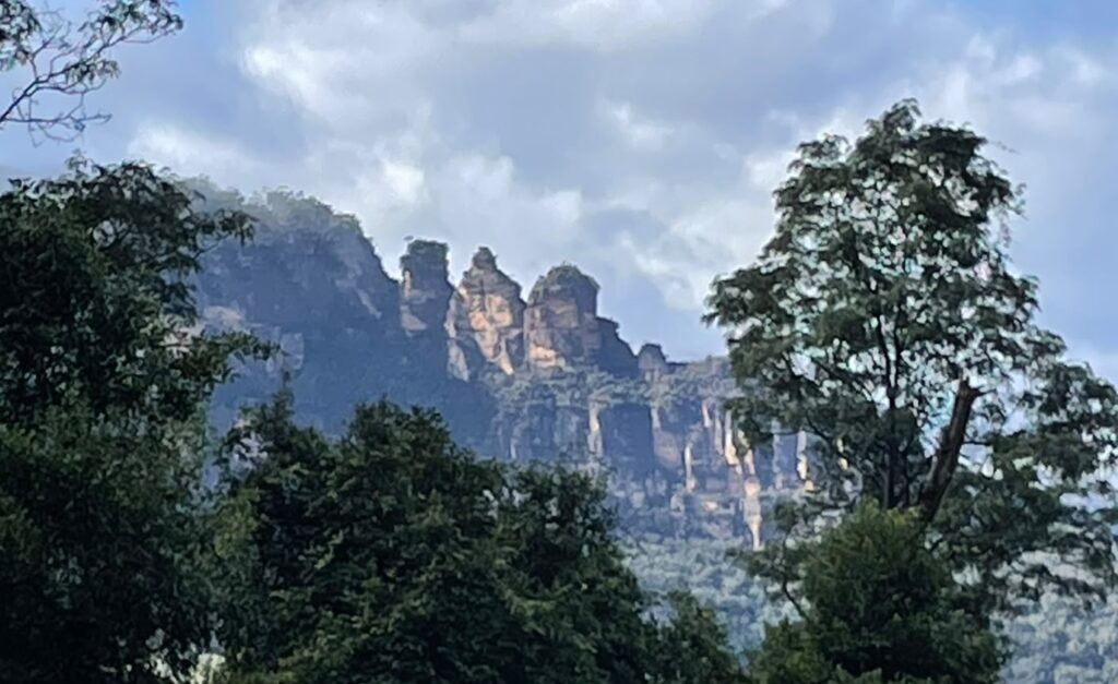
Three Sisters viewed from the base of the Golden Stairs

041 Resolute Beach Track

The day statrted in thick fog which made for an exciting drive to West Head dodging barely visible cyclists. The fog created an atmospheric start to the walk past Aboriginal engravings and a magnificent cave overhang. 
The track to Mackeral was rough as expected but fortunately had been recently cleared by NPWS making it much safer

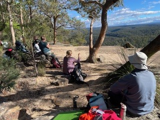
The sun was out  by the time we arrived at Mackeral Beach. We had the perfect spot for morning tea – a view to die for , warm sun and even comfy chairs to sit in. 

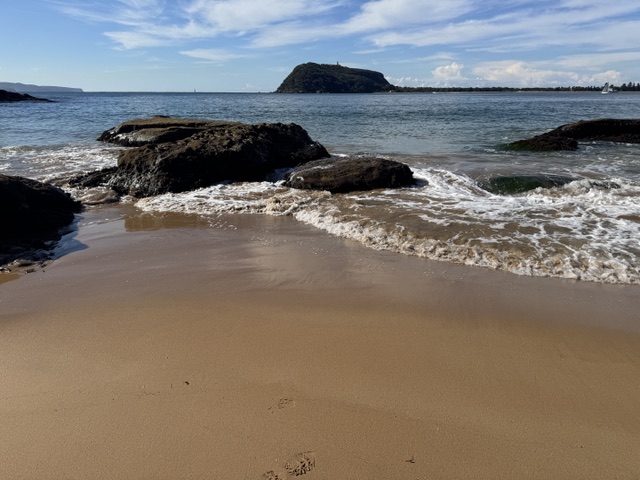
On the way to West Head we diverted to West Head Beach with amazing views to Barrenjoey

Returning to the Resolute Picnic area for a pit stop and then out to Koolewong Lookout for lunch

A real Goldilocks day. Even so most of us felt that we had done a walk.

Misty morning on the Resolute Beach track
Morning tea at Great Mackerel Beach. If you need a public phone box, you know where to go!
View from West Head Beach
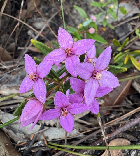
Boronia ledifolia
Conospermum
Hakea in the morning mist.

047 Blue Mountains NP: Portal Lookout, Glenbrook

Morning tea with 180 degree views
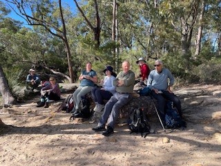
The walking crew
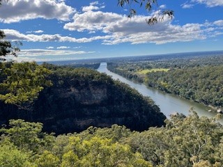
Nepean River from Portal Lookout
There was a male blue wren in this photo 2 seconds ago
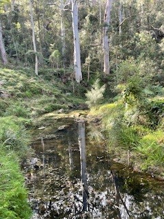
Very lovely creekline next to the campground
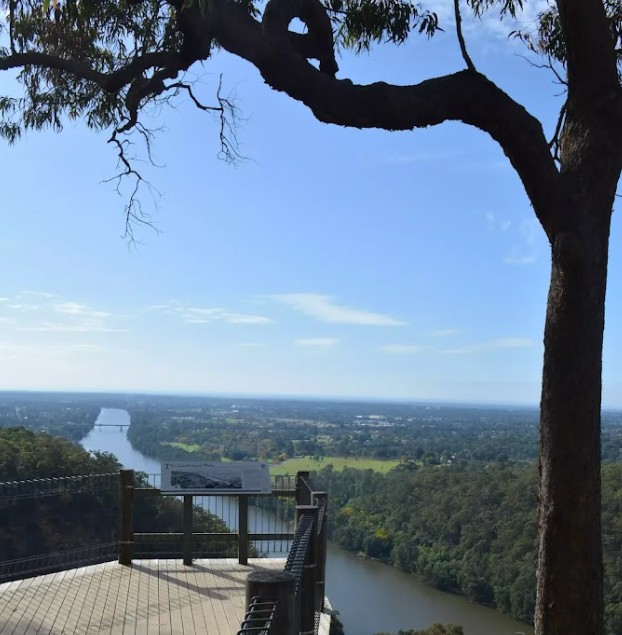
View to Penrith from Portal Lookout

8 walkers headed out to Portals Lookout from Glenbrook, covering around 15 km in excellent winter conditions. It was a clear, mild day with great visibility, and the track delivered early with expansive views over the Glenbrook rail tunnels and surrounding valley. The lookout provided a good vantage point to reflect on the area’s railway heritage, including early tunnel works that allowed trains negotiate the steep eastern escarpment.

The walk continued with views out toward the Nepean River and plenty of open bush to enjoy along the way. Lunch was taken at Euroka Campground beside a shaded creek, which made for a relaxed and unhurried break. Birdlife added to the day, with blue wrens and rosellas spotted around the campsite and along the track.

The walk included tackling the Lapstone Monocline, a distinctive geological feature where rock layers have been steeply folded, shaping the local terrain and escarpment profile. It was a solid but manageable climb that was rewarded with some amazing views. The group wrapped up with smoothies and coffee at Glenbrook Park, rounding out a very enjoyable day that was appreciated by all. Many thanks Julie and Garry

061 Dharug NP: Ten Mile Hollow and Dubbo Gully Loop

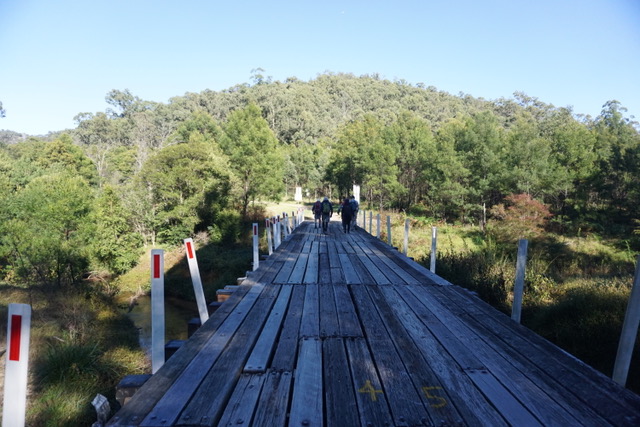
A bright sunny morning but with a touch of winter chill saw 7 walkers gather at Mangrove Mountain to tackle a walk which, at 25 klms, is much longer than our usual walks. After driving as far down Dubbo Gully Rd as possible ( a locked gate preventing further progress), we set off downhill on good fire trail. After 2 klm, we took the left fork at the Y junction and crossed a long bridge over Mangrove Creek.

Bridge over Mangrove Creek

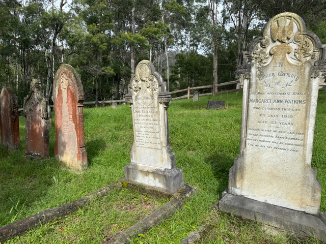
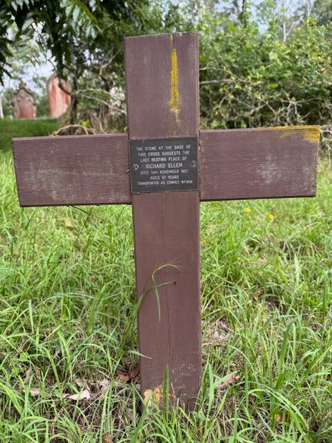
At the 4klm mark, we stopped to explore the historic cemetery, finding graves dating back to the 1850’s, including one for a former convict.

Cemetery
Oldest marked grave in the cemetery
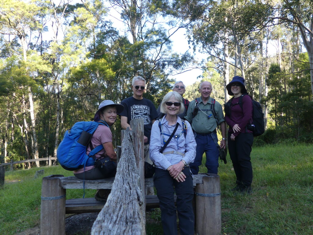
Group photo on the stile entrance to the cemetery

A short time later, another Y junction marked the started of the Dubbo Gully Loop. We took the left hand track, doing the loop clockwise. The trail loosely follows Mangrove Creek and has remnants of historic embankments and culverts visible at the side. We paused here for morning tea, above the creek.

After passing through a low, swampy area, the track started to climb gradually, but it was a sustained incline.

Swampy area where Purple Swamphens were spotted.
Firetrail
Forest we passed through

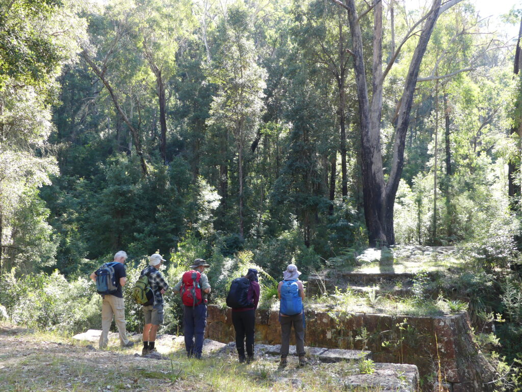
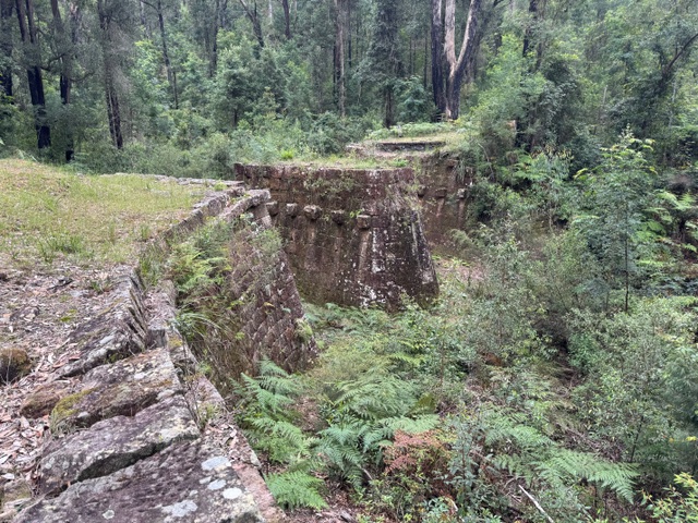
Just after the half way mark, we encountered the Ten Mile Hollow camp ground, equipped with a toilet, table and bench seats and fire pits. Turning right onto the Old Great North Rd, it was about 1 klm to reach Clares Bridge, constructed in 1830 and named for the overseer of construction. There is no decking on the bridge, but the support structures are impressive and made a good spot for lunch.

Old Great North Road
Clares Bridge
Clares Bridge

After lunch, there was a little more uphill and then started downhill, which was a little steeper than the long ascent. We stopped to admire a good view looking down on our earlier pathway. A lyrebird was spotted on the way, a nice surprise after hearing (but not seeing)several earlier in the day among a lot of other birdsong. We had also seen Purple Swamp-hens and a brown cuckoo dove.

Having completed the loop, we retraced our steps back to the cars, a very welcome sight for some of us. It had been a long walk, but with excellent weather and good spirits maintained, the walk was completed in good time. Drinks at the Mangrove Mountain Memorial Club were appreciated.

Well done all!

060 The Greenway Walk

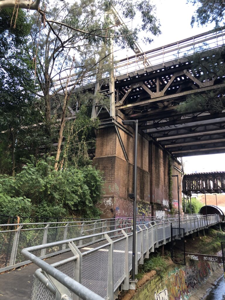
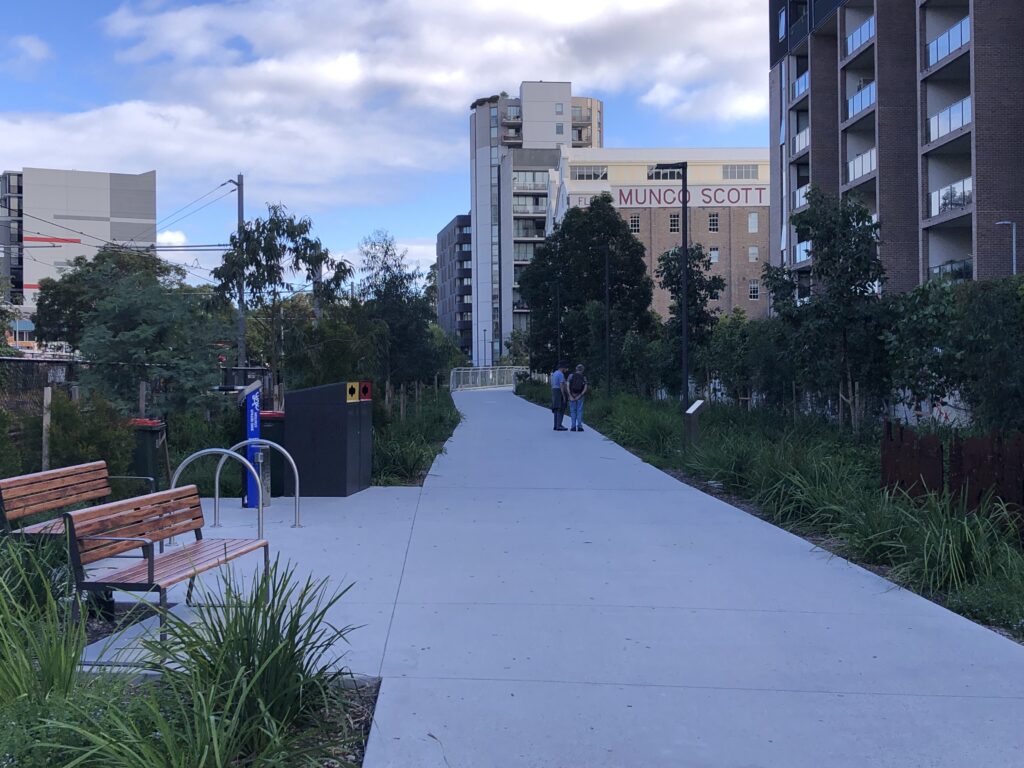
16 walkers met at Hawthorne light rail station for the start of our walk.  The Greenway is a mixed cycle and walkway in the inner west. For a Saturday morning it was not as busy as feared

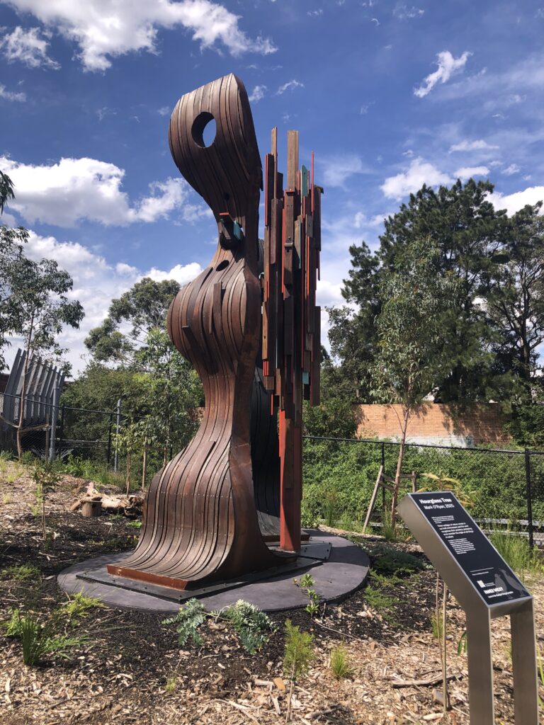
As the walk along the Greenway is only short we had ample time to stop and admire the commissioned art installations, parks, industrial heritage, tunnels and bridges. 

Arriving at Cooks River we ran into a Coffee cart- long awaited by some. Morning tea was had in a picnic shelter and then we retraced our steps back to the Dulwich Hill light rail back to Hawthorne

Most of us elected to walk further north along the canal to the Bay Run where we had lunch

By the time we returned to Hawthorne we had clocked up about 11kms

One of the art installations along the route
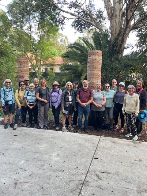
Group photo
Tunnels and bridges
New shared cycle/pedestrian track

Chris.

044 Narrabeen Lagoon-Gourmet Walk 11 April

18 walkers assembled at the edge of Narrabeen Lake on a perfect day for a walk.

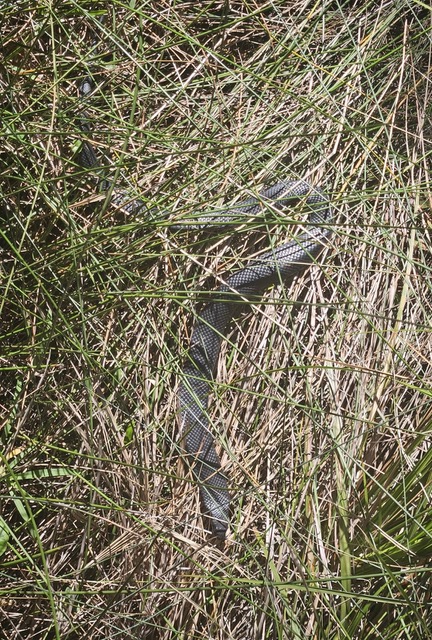
We remembered, as it is an urban walk, to keep an eye out for hazards such as e bikes, runners, kids, other walkers, and our friend snapped from the boardwalk (see picture left). The lake was at high tide, so kayakers and stand up paddle boarders were out in numbers. We walked the easy trail all around the lake and got back to the cars to prepare a gourmet lunch. Special mention for Loic for considering Kit Kat cholocate bars qualified as gourmet food. Well, they got eaten!!!

Thanks to everyone for a great walk and a very satisfying lunch before heading home.

Greg and Dawn