Category Last Walk Report

Centennial Park Loop Walk

Ten walkers met up near Central to take a bus to the Randwick main gates of Centennial Park, where we picked up our eleventh member.

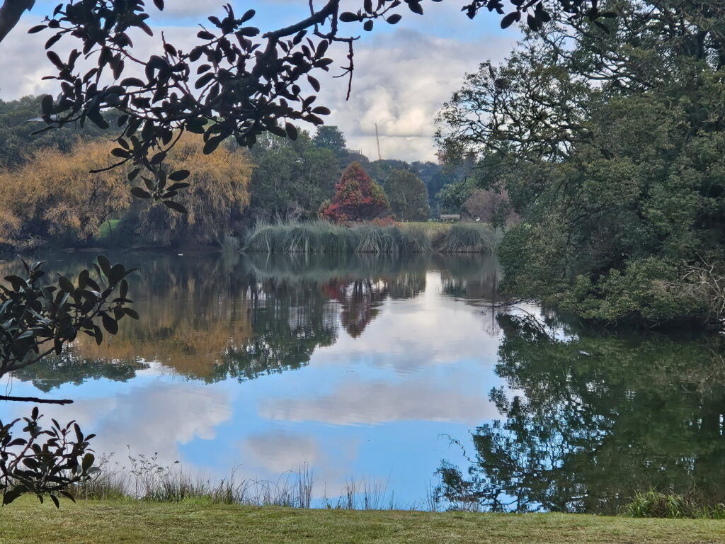
The plan was to walk the main inner loop of the park, and then take a more ad hoc perimeter loop in the reverse direction. The inner loop was heaving with runners, walkers, dogs, bikes and at least one horse. By Busby’s Pond, we moved in to the pond, where we started to see lots of birds and it was much quieter. We mostly stayed inward from the main loop from there. The views were better, too.

We had a pause while we reported an injured goose to rangers, and then tracked around the ponds. The ranger later caught up with us to let us know WIRES had taken the goose into care, and also to tell us we were walking too fast lol.

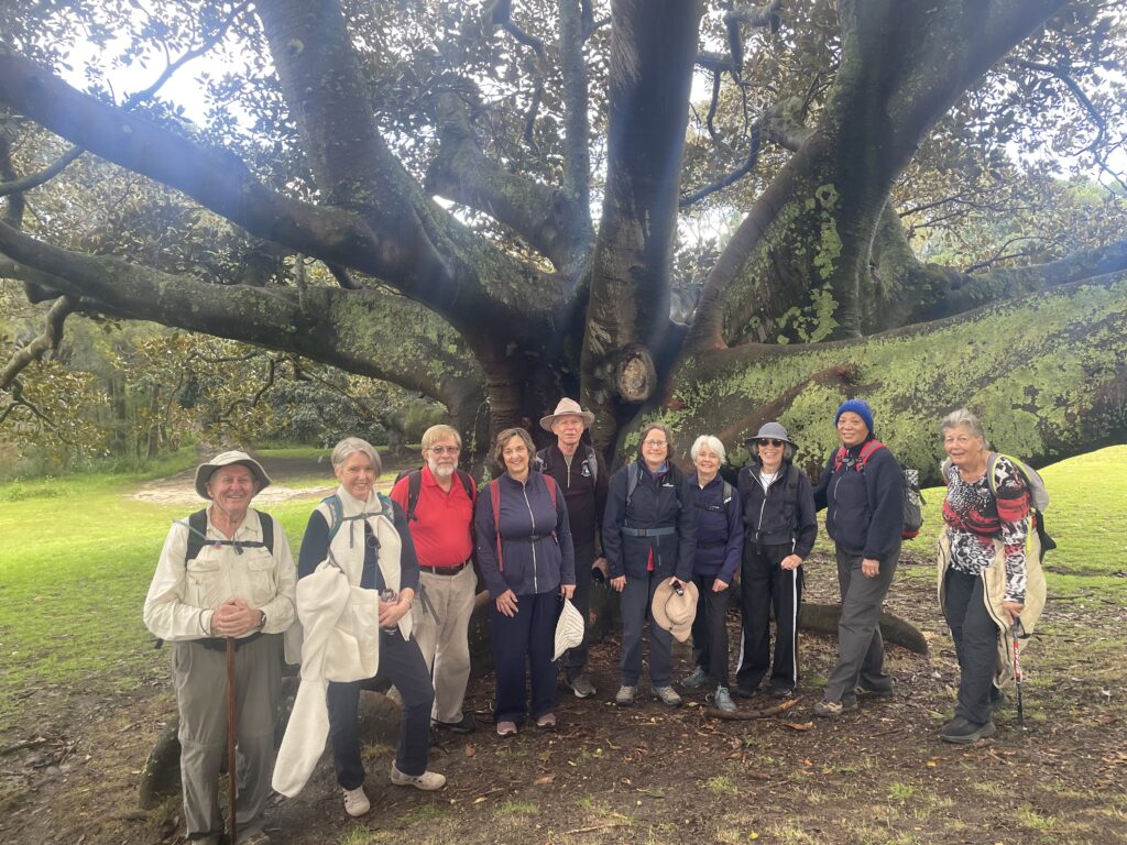
Taking the reverse direction, as close to the perimeter as possible, gave a quieter experience, with some beautiful old trees. Despite the heavy use, there are some beautiful views through different areas of the park. We had lunch back at the cafe and Fearnley Grounds picnic area.

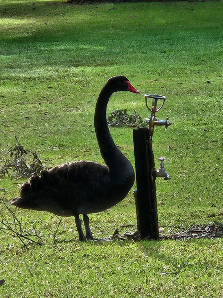
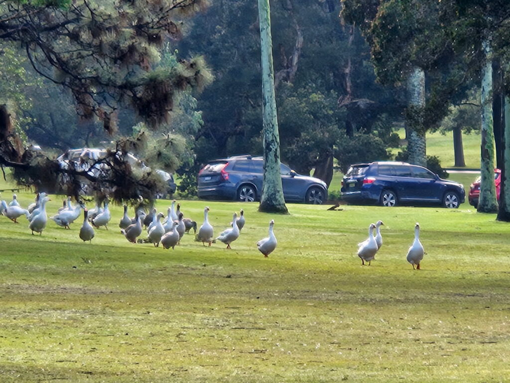
We finished by walking around the Kensington Pond to the bus stop. We saw quite a few birds around the water: Eurasian coot. purple swamphen, whitefaced heron, Pacific Black duck, black swan (nesting) crested pigeon, dusky moorhen, pied cormorant willy wagtail, bin chickens and a very big gaggle of domestic geese.

041 Resolute Beach Track

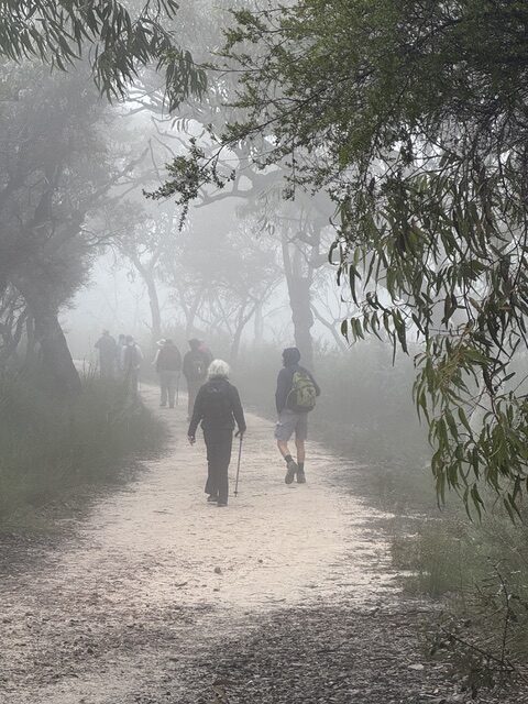
The day statrted in thick fog which made for an exciting drive to West Head dodging barely visible cyclists. The fog created an atmospheric start to the walk past Aboriginal engravings and a magnificent cave overhang. 

The track to Mackeral was rough as expected but fortunately had been recently cleared by NPWS making it much safer

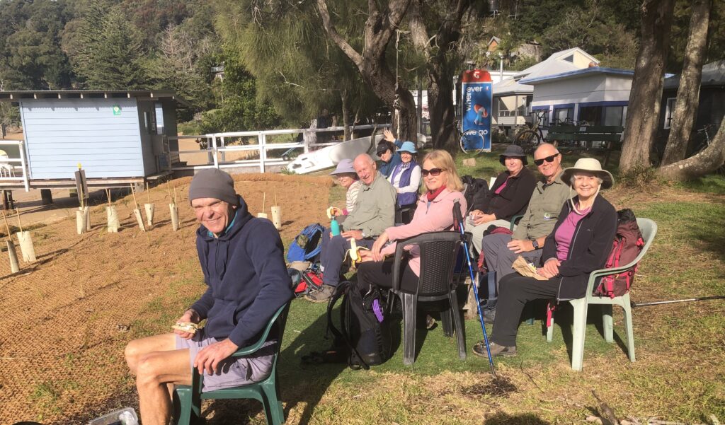
The sun was out  by the time we arrived at Mackeral Beach. We had the perfect spot for morning tea – a view to die for , warm sun and even comfy chairs to sit in. 

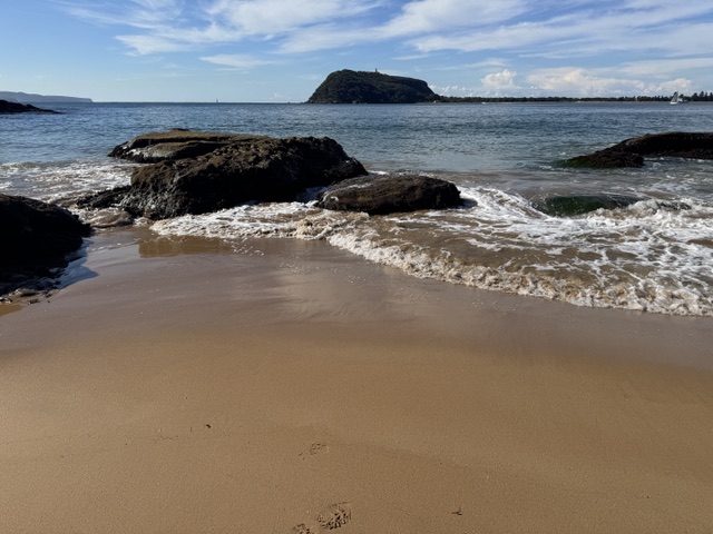
On the way to West Head we diverted to West Head Beach with amazing views to Barrenjoey

Returning to the Resolute Picnic area for a pit stop and then out to Koolewong Lookout for lunch

A real Goldilocks day. Even so most of us felt that we had done a walk.

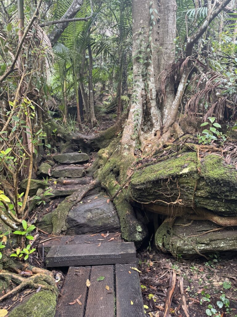
Misty morning on the Resolute Beach track
Morning tea at Great Mackerel Beach. If you need a public phone box, you know where to go!
View from West Head Beach
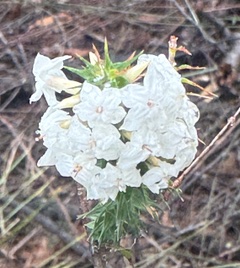
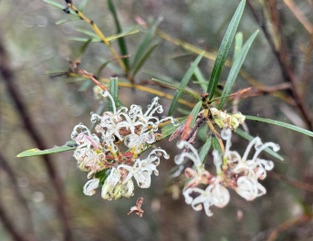
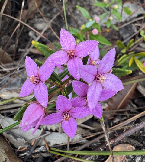
Boronia ledifolia
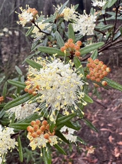
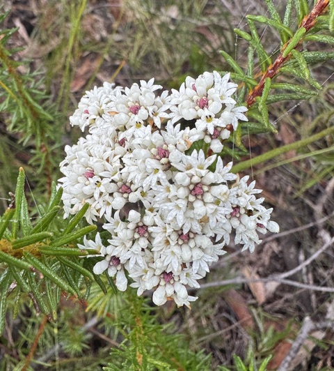
Conospermum
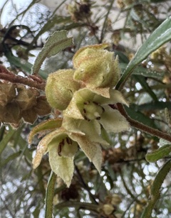
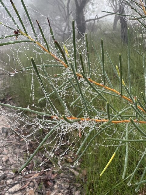
Hakea in the morning mist.

063 Brisbane Water NP: GNW Girrakool Picnic Area to Reservoir Road, Somersby

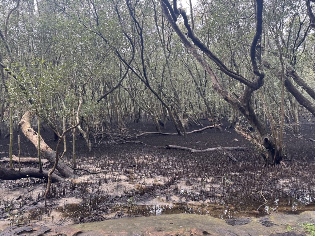
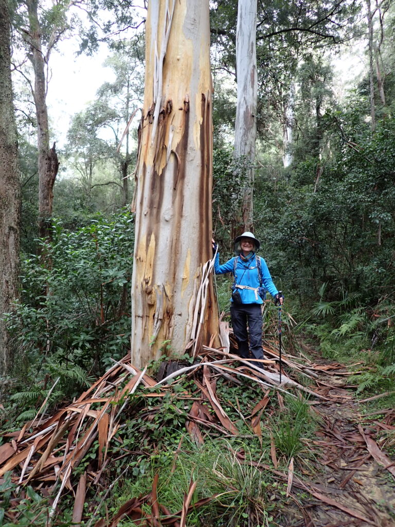
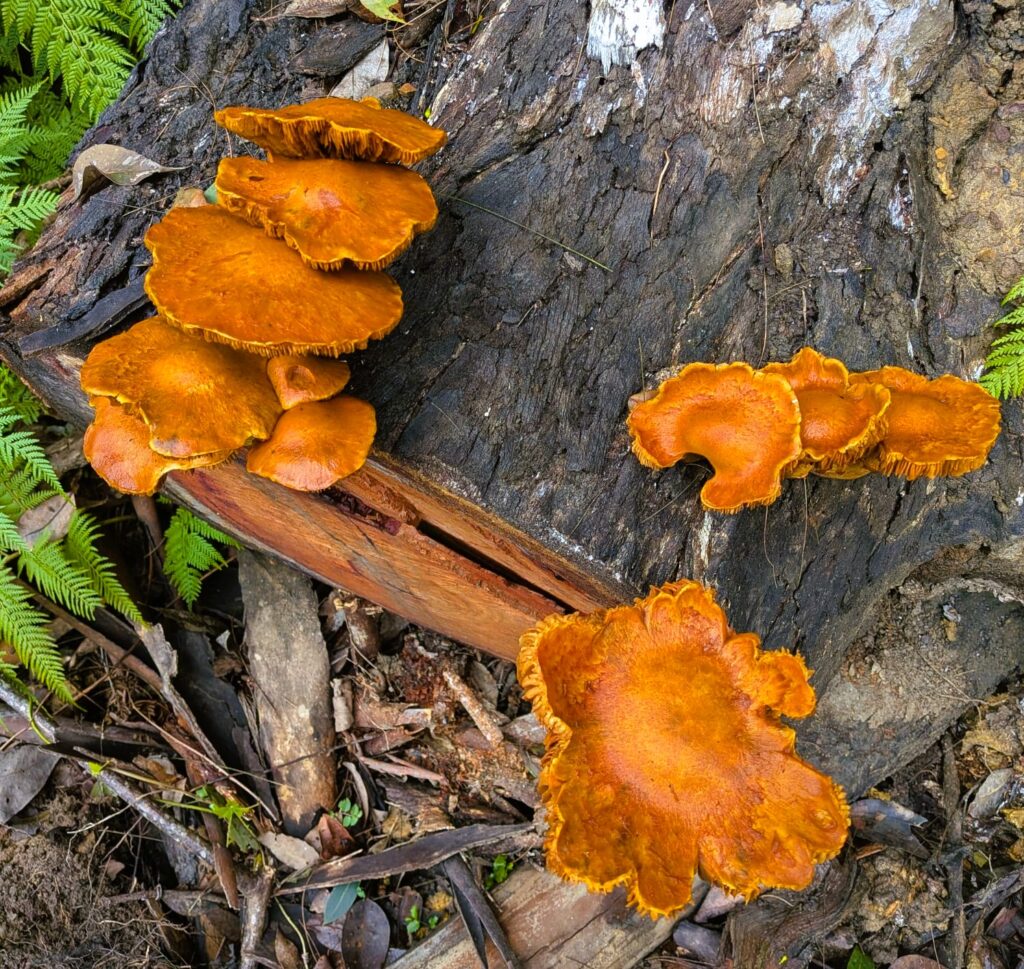
This walk includes some of the best parts of the Great North Walk. We descended into deep creeks, walked beside healthy mangroves and salt marsh, spotted a huge variety of fungi and enjoyed lush glades of ferns. There were waterfalls, lookouts, rushing streams (more on that later), a dam and highways to pass over and under.

Fresh walkers at the start – Girrakool Picnic Area
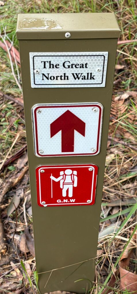
Piles Creek East track now joins the Great North Walk

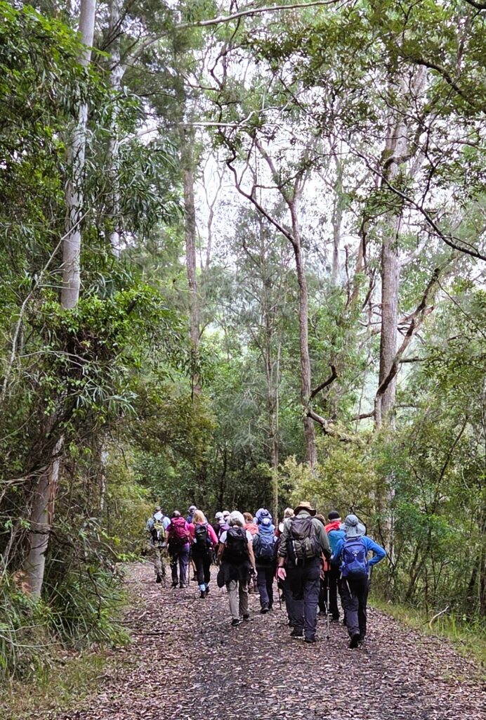
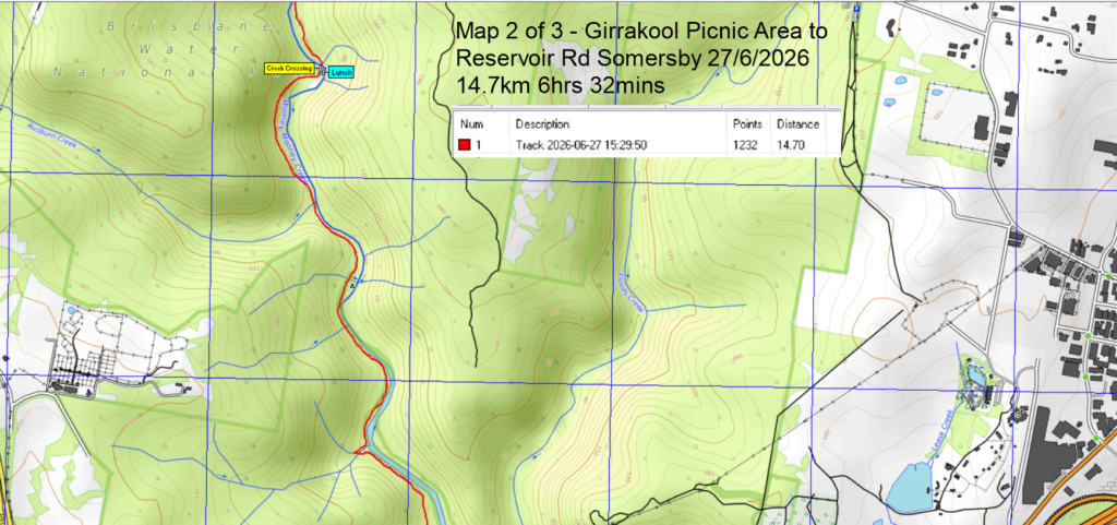
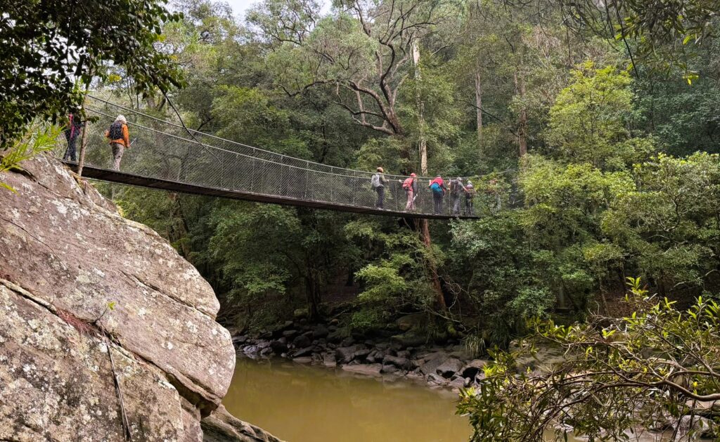
We (19 walkers) started with a car shuffle from Reserve Rd to Girrakool. Once walking, we descended steeply into Piles Creek until it met Mooney Mooney Creek. Along the way, we stopped at the suspension bridge over Piles Creek for morning tea. This was free of leeches, but that soon changed, with increasing numbers trying to hitch a ride. The walk along Mooney Mooney Creek passed through some beautiful bush

Crossing the suspension bridge over Piles Creek
Easy fire trail after crossing the Old Pacific Hwy

We stopped for lunch on some leech-free rocks at the point where we had to cross Mooney Mooney Creek.

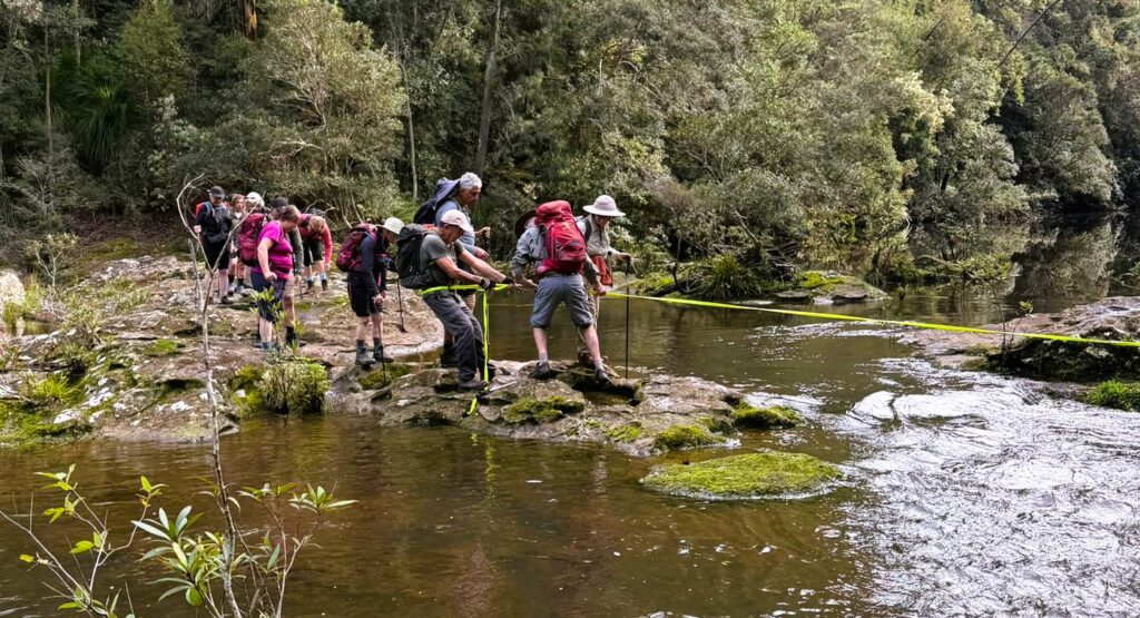
Crossing Mooney Mooney Creek after lunch

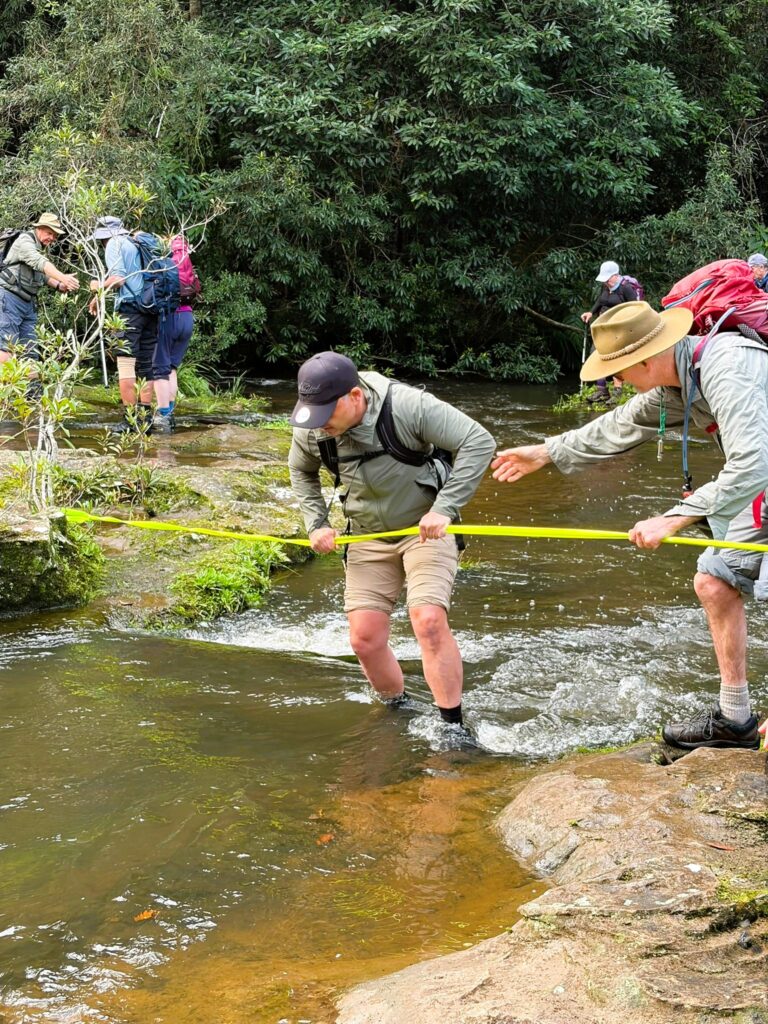
There was no helpful suspension bridge in sight, and the creek was flowing quite fast. The track could be seen continuing on the other side, but how to get there? Peter scouted out several routes across, but finally it was decided that the best route involved crossing a short fast-flowing bit with the aid of the trusty yellow tape. Dave provided the main anchor, with Peter assisting walkers to get down the slippery first part into the water and get hold of the tape. Gradually most of the group crossed here, with a few deciding one of Peter’s other routes was viable. Once across with the tape, there were still some other tricky slippery bits to negotiate. Everyone worked together, until all were safely (and maybe slightly damply) across. This was a great team effort in true Up and Downer style and especially so, as for some walkers this was their first experience of crossing a creek in this way.
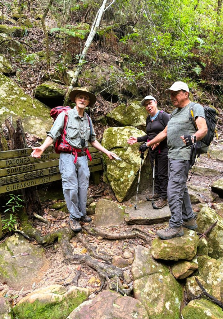
It was a good idea bringing my safety tape (Peter). Lucky we had a small but tough bush to tie onto.
The exposed rock was very slippery but not so bad in the knee deep, fast flowing water.

After the creek crossing, the track wound steadily upwards, past Lower Mooney Mooney Creek Dam. There were more spectacular ferns and interesting fungi until we walked out to the water tanks on Reserve Rd.

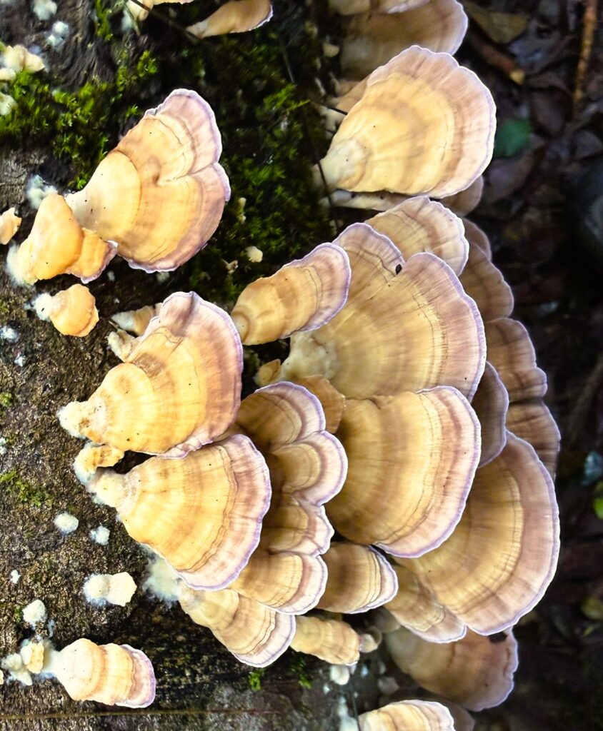
Turkey tail mushroom
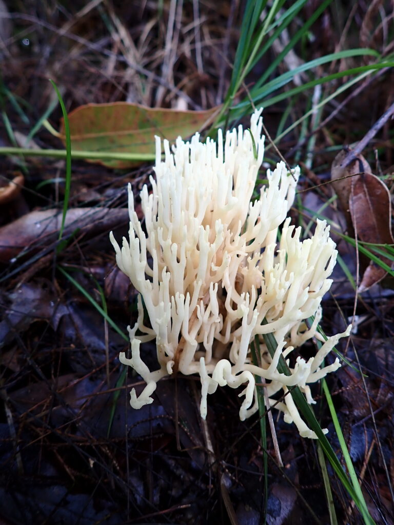
Coral fungi
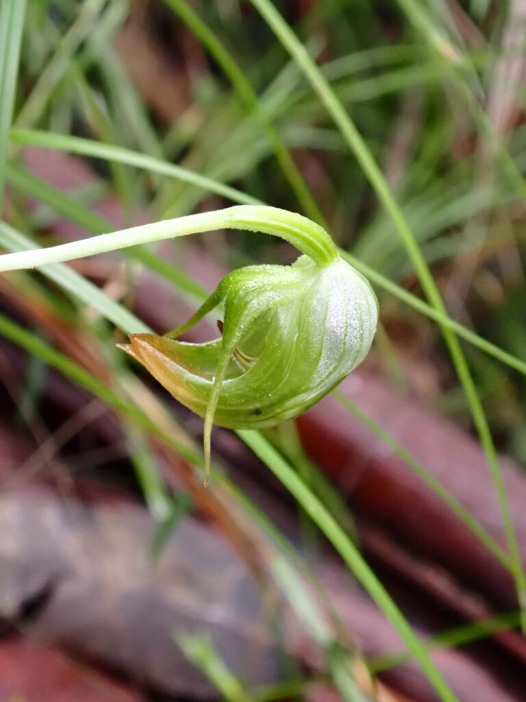
Nodding Greenhood – Orchid
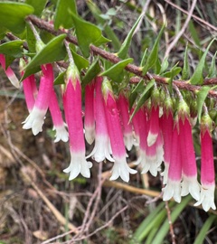
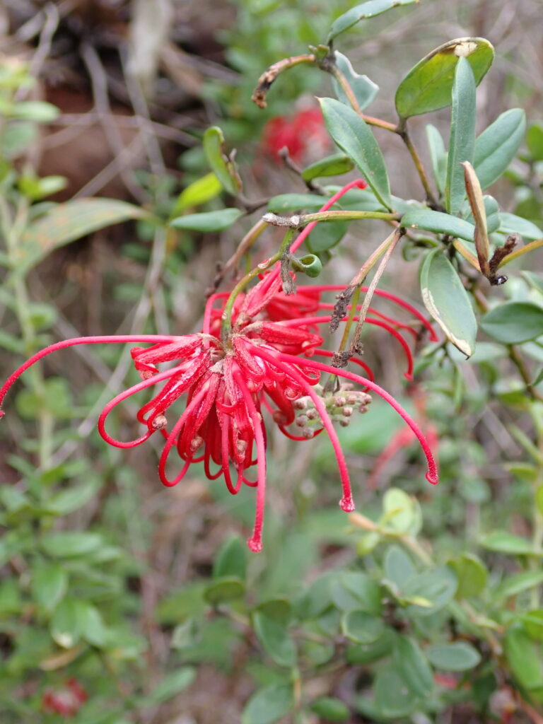
Red Spider Flower

The car shuffle was undone, and drinks (and crisps) were enjoyed at the Mount Penang Gardens before heading home. Thanks to all walkers for an enjoyable day on the track with great teamwork and good company.

More Photos: Contributed by: Ray, Annmarie, Helen, Hazel and Peter:
https://photos.app.goo.gl/kyJcPLe3LR3LcgoQ8

MAPS – click images below to open full maps

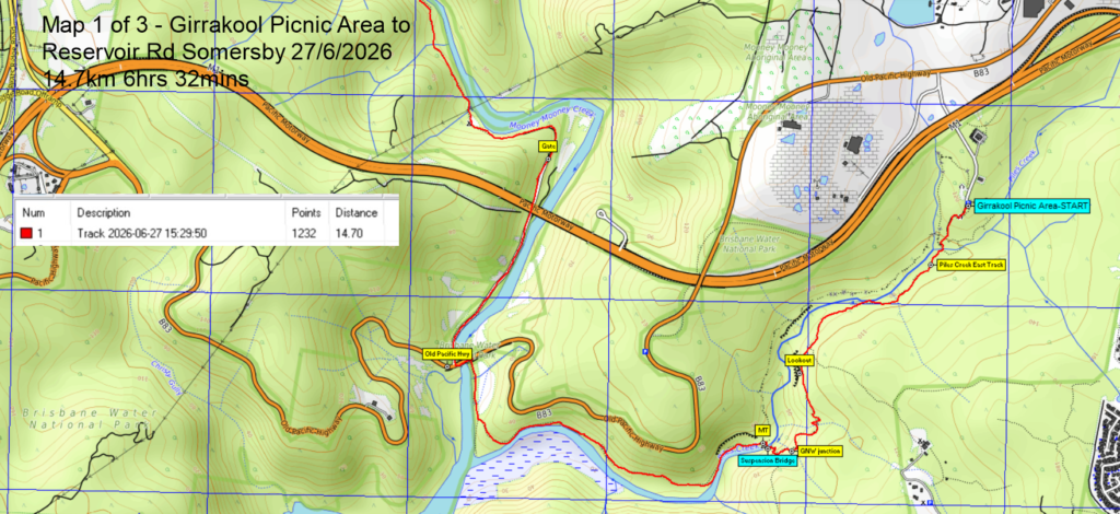
Map 1 of 3
Map 2 of 3
Map 3 of 3
Altitude v Distance Profile: Total Distance walked = 14.7km (ignore below water vertical GPS device inaccuracies = Z plane)

047 Blue Mountains NP: Portal Lookout, Glenbrook

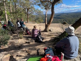
Morning tea with 180 degree views
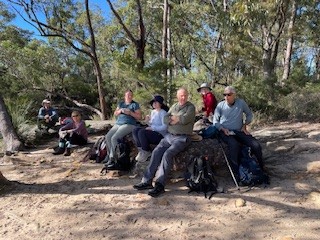
The walking crew
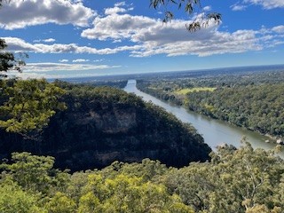
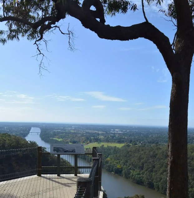
Nepean River from Portal Lookout
There was a male blue wren in this photo 2 seconds ago
Very lovely creekline next to the campground
View to Penrith from Portal Lookout

8 walkers headed out to Portals Lookout from Glenbrook, covering around 15 km in excellent winter conditions. It was a clear, mild day with great visibility, and the track delivered early with expansive views over the Glenbrook rail tunnels and surrounding valley. The lookout provided a good vantage point to reflect on the area’s railway heritage, including early tunnel works that allowed trains negotiate the steep eastern escarpment.

The walk continued with views out toward the Nepean River and plenty of open bush to enjoy along the way. Lunch was taken at Euroka Campground beside a shaded creek, which made for a relaxed and unhurried break. Birdlife added to the day, with blue wrens and rosellas spotted around the campsite and along the track.

The walk included tackling the Lapstone Monocline, a distinctive geological feature where rock layers have been steeply folded, shaping the local terrain and escarpment profile. It was a solid but manageable climb that was rewarded with some amazing views. The group wrapped up with smoothies and coffee at Glenbrook Park, rounding out a very enjoyable day that was appreciated by all. Many thanks Julie and Garry

052 Hen and Chicken Bay – Parramatta River

Eleven walkers met at Abbotsford Wharf on a beautiful clear day. We walked to the old quarantine centre used up until the 1980s, then followed the shoreline around the east side of the bay where we saw a number of wading birds on the tidal flat.

The walk follows the shoreline for quite a way until we hit the golf course where we had morning tea at the entrance. No access is provided through the golf course so we had to cross the road (Path works). At this point, 9 walkers crossed back after the golf course and 2 (including one leader, Effie) proceeded on engaged in conversation.

Eventually all came back together and we headed along the west side of the bay through parks and street walking. We had a leisurely lunch at Cabarita Park and a very short ferry ride back to Abbotsford. Thanks to everyone who participated.

039 Royal NP:Bundeena Road to Little Marley via Wattamolla and Providence Point

15 walkers took on the walk from Bundeena Road towards Wattamolla Beach. 

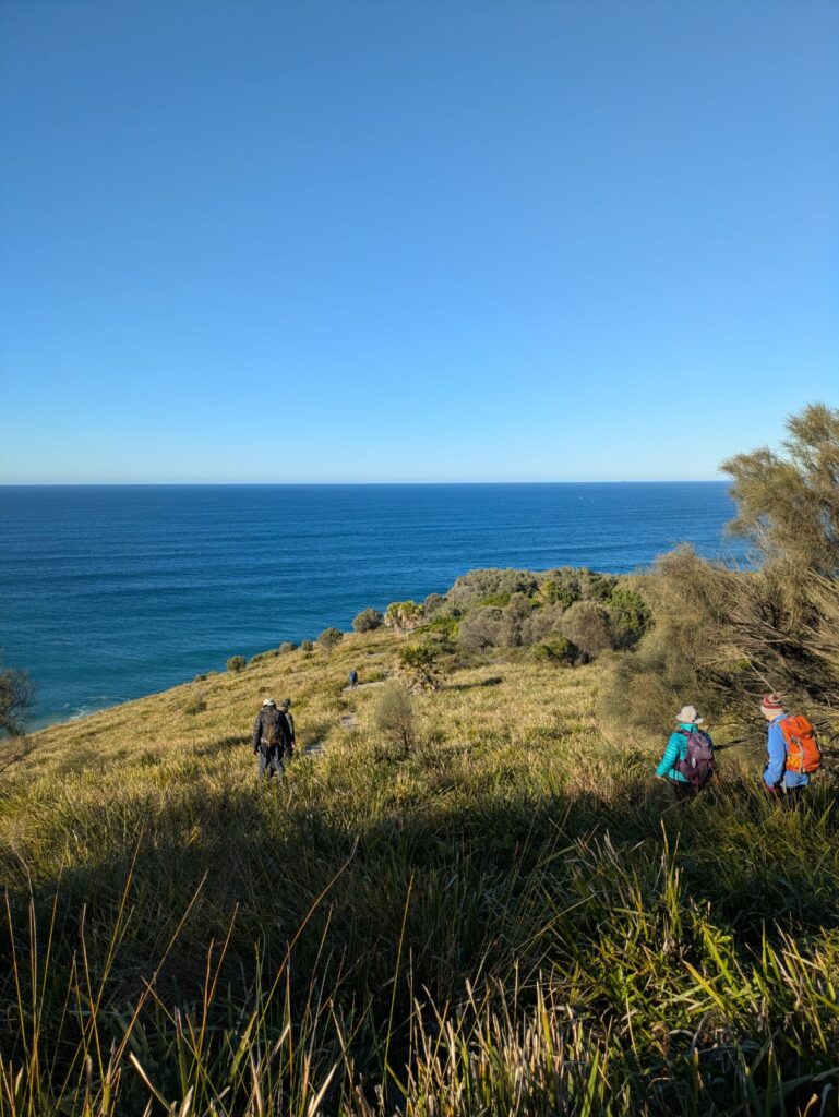
Starting off with a car shuffle,with clear, blue winter’s day – it was perfect conditions for a stretch of the Royal National Park’s most scenic coastline. The track wound straight out through open heath, with sandstone boardwalks keeping feet dry and wide views opening to the sea almost immediately. 

From the heath the track dropped down to Little Marley, where the group stopped for morning tea on the rocks overlooking the beach 

After morning tea the group pushed on towards Wattamolla beach, having a well earned lunch break before heading to Providence Point. With views towards Wollongong

The highlight of the day, though, was the whale show. A pod of humpbacks put on an extended display – cruising along the surface, blowing, and at one point breaching with a huge fin slap 

The walk wrapped up back at Wattamolla Beach Car Park, with 11km, 150m of ups and downs,  and a front-row whale show . The day was rounded out with a well-earned coffee catch-up at Audley Weir – a relaxed end to a brilliant day. 

034 Boudii NP: Daley’s Point Circuit

View over Killcare Beach

Rock art spot with a view

Boudii’s famous Angophoras

Fly like an eagle Justin!

Sea eagle on the breeze

Stretching out along the coastal walk

12 walkers stared down the weather forecast to have a mostly dry walk around Daley’s Point and Boudii NP. We saw some Aboriginal Art, many grass trees and angophoras, a huge sea eagle doing laps along the coast, some amazing views to Maitland Bay/ Killcare Beach and out to sea, nudi-branchs on the beach, singing honey-eaters, ringing bell birds, baby butcher birds… and yes leeches. Morning tea with a view inland over Brisbane Water was followed by Lunch at Hardy’s Bay. The day finished with a couple of big hills which tested Julie’s new heart rate monitor (174bpm) and every-one’s wet weather gear. We finished at Ettalong Diggers in good spirits and where the last stealthy hitchhikers were removed from legs, shoes and socks.

064 Blue Mountains NP: Wilkinson Hill and Jinky Ridge

Well, what can I say? The weather was fabulous, the views were stunning, the company was good, we escaped the rain in Sydney.

Wilkinson Hill was first. The track out was fire trail at first then bush track, then possibly guesswork as far as where the track was. However, we easily arrived at our destination, at the cliff edge overlooking the Grose Valley. We could see several places the club has been before, Ikara Head, Valhalla Head, Thor Head, the way into Asgard swamp, the creek we scrambled into to get to all those places. We had morning tea here to enjoy the view, making sure we did not get too close to the edge with its vertical fall of at least 100 metres.

After morning tea, we retraced our steps until we came to the turnoff to Jinki Ridge. This track was much more distinct, possibly because it’s the exit from Dalpura Canyon. We proceeded quite well along here until we came to a place where the head of a creek needed to be crossed onto another part of the ridge. The group judged this to be too difficult, as the rocky slope was wet and slippery after recent rain, so the decision was made to have lunch on top of a pagoda and enjoy the view.

After lunch there was some more scouting around, first of another ridgeline of pagodas and then of a possible way to get around the slippery slope. This walk was exploratory, so this route will be left to be investigated on another occasion. Despite the fact that we fell short of our planned objective for this part of the walk, the area we traversed was beautiful, with small pagodas and meadows of low vegetation. Drinks were at the Blue Mountains Botanic Gardens café.

The pictures tell how beautiful whole area is.

https://photos.app.goo.gl/4z4uKCkEzG9S2NLc7

Walkers, Wilkinson Hill – view to Dalpura, Thor & Valhalla Heads
Looking at the elusive end of Jinki Ridge with pagodas in the foreground
Returning from Jinki Ridge

061 Dharug NP: Ten Mile Hollow and Dubbo Gully Loop

A bright sunny morning but with a touch of winter chill saw 7 walkers gather at Mangrove Mountain to tackle a walk which, at 25 klms, is much longer than our usual walks. After driving as far down Dubbo Gully Rd as possible ( a locked gate preventing further progress), we set off downhill on good fire trail. After 2 klm, we took the left fork at the Y junction and crossed a long bridge over Mangrove Creek.

Bridge over Mangrove Creek

At the 4klm mark, we stopped to explore the historic cemetery, finding graves dating back to the 1850’s, including one for a former convict.

Cemetery
Oldest marked grave in the cemetery
Group photo on the stile entrance to the cemetery

A short time later, another Y junction marked the started of the Dubbo Gully Loop. We took the left hand track, doing the loop clockwise. The trail loosely follows Mangrove Creek and has remnants of historic embankments and culverts visible at the side. We paused here for morning tea, above the creek.

After passing through a low, swampy area, the track started to climb gradually, but it was a sustained incline.

Swampy area where Purple Swamphens were spotted.
Firetrail
Forest we passed through

Just after the half way mark, we encountered the Ten Mile Hollow camp ground, equipped with a toilet, table and bench seats and fire pits. Turning right onto the Old Great North Rd, it was about 1 klm to reach Clares Bridge, constructed in 1830 and named for the overseer of construction. There is no decking on the bridge, but the support structures are impressive and made a good spot for lunch.

Old Great North Road
Clares Bridge
Clares Bridge

After lunch, there was a little more uphill and then started downhill, which was a little steeper than the long ascent. We stopped to admire a good view looking down on our earlier pathway. A lyrebird was spotted on the way, a nice surprise after hearing (but not seeing)several earlier in the day among a lot of other birdsong. We had also seen Purple Swamp-hens and a brown cuckoo dove.

Having completed the loop, we retraced our steps back to the cars, a very welcome sight for some of us. It had been a long walk, but with excellent weather and good spirits maintained, the walk was completed in good time. Drinks at the Mangrove Mountain Memorial Club were appreciated.

Well done all!

060 The Greenway Walk

16 walkers met at Hawthorne light rail station for the start of our walk.  The Greenway is a mixed cycle and walkway in the inner west. For a Saturday morning it was not as busy as feared

As the walk along the Greenway is only short we had ample time to stop and admire the commissioned art installations, parks, industrial heritage, tunnels and bridges. 

Arriving at Cooks River we ran into a Coffee cart- long awaited by some. Morning tea was had in a picnic shelter and then we retraced our steps back to the Dulwich Hill light rail back to Hawthorne

Most of us elected to walk further north along the canal to the Bay Run where we had lunch

By the time we returned to Hawthorne we had clocked up about 11kms

One of the art installations along the route
Group photo
Tunnels and bridges
New shared cycle/pedestrian track

Chris.